Bamberg No. 7 / Babenberg / Bambärch / Castrum Babenberch
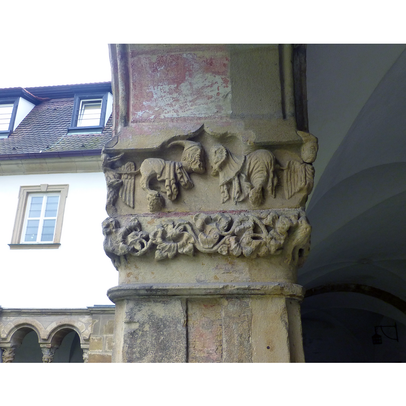
Image copyright © Baptisteria Sacra Index, 2023
CC-BY-NC-ND-4.0
Results: 20 records
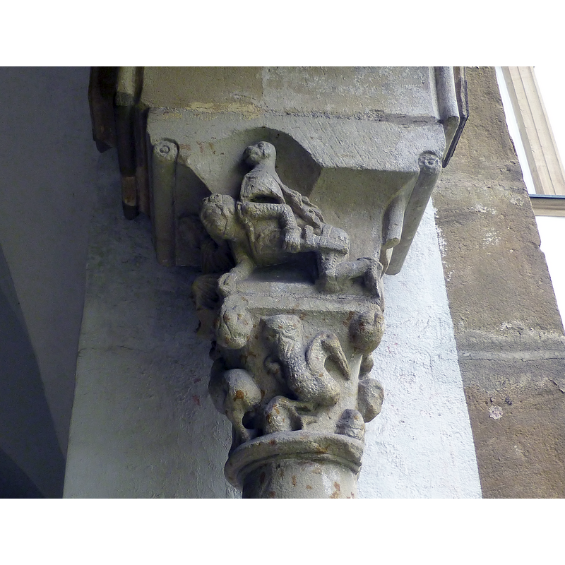
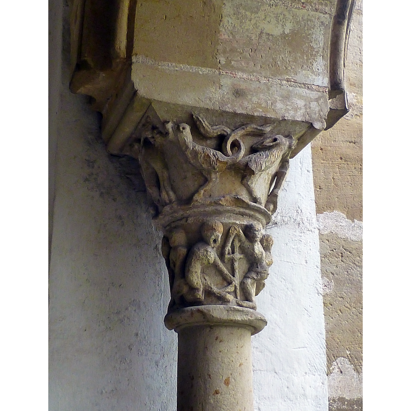
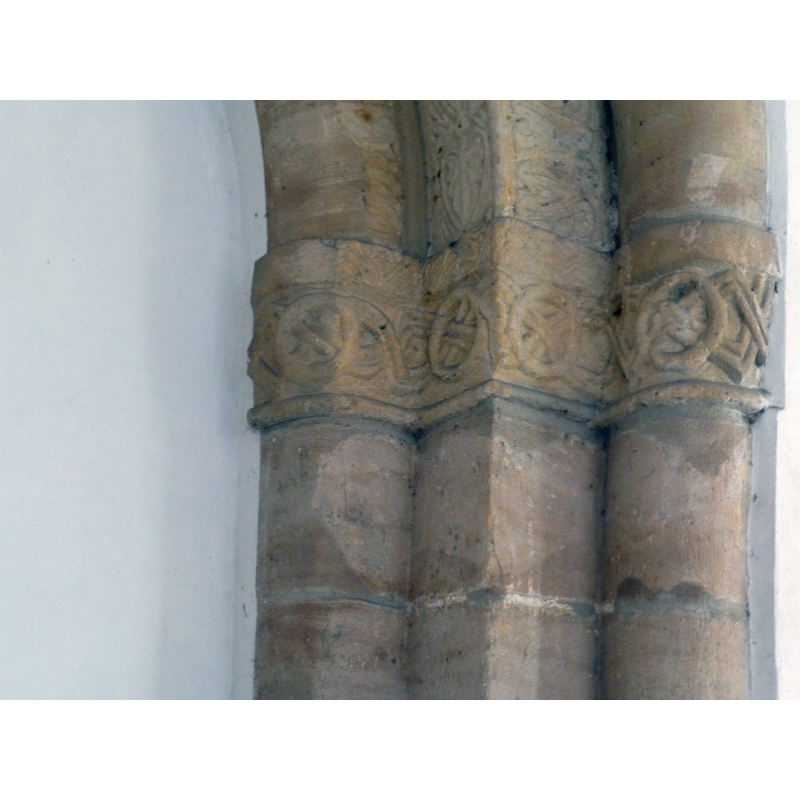
view of church exterior - cloister - detail
Copyright Statement: Image copyright © Baptisteria Sacra Index, 2023
Image Source: digital photograph taken 1 October 2017 by BSI
Copyright Instructions: CC-BY-NC-ND-4.0
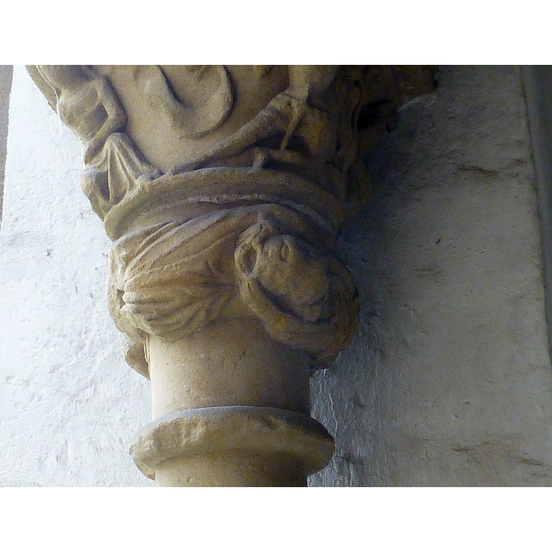
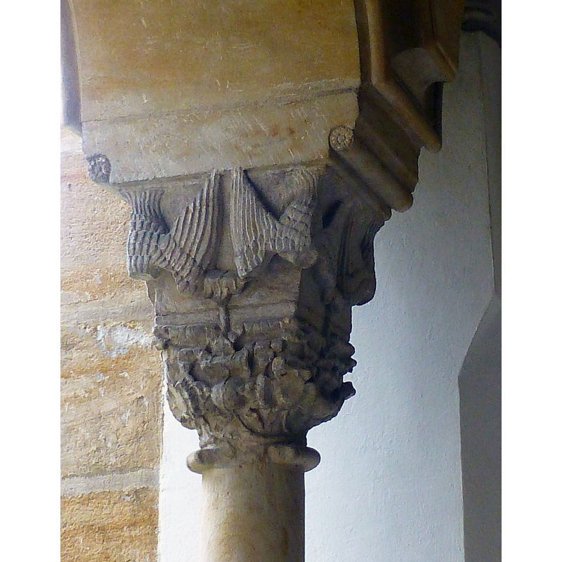
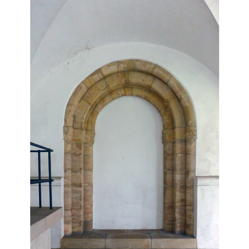
view of church exterior - cloister - detail
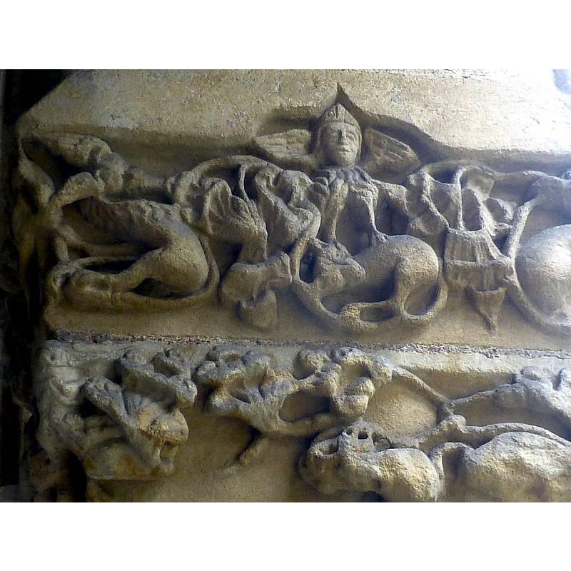
Copyright Statement: Image copyright © Baptisteria Sacra Index, 2023
Image Source: digital photograph taken 1 October 2017 by BSI
Copyright Instructions: CC-BY-NC-ND-4.0
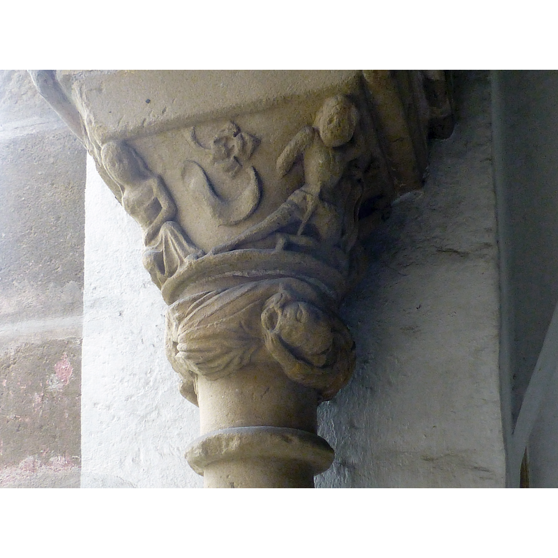
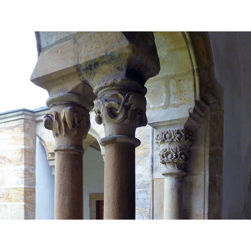
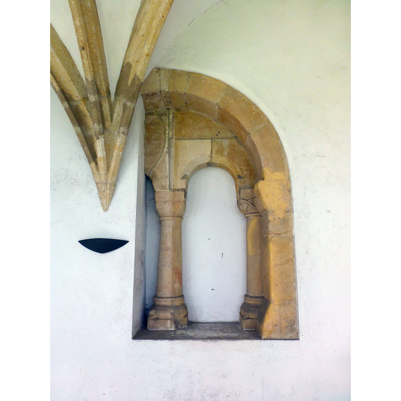
view of church exterior - cloister - detail
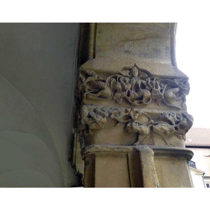
Copyright Statement: Image copyright © Baptisteria Sacra Index, 2023
Image Source: digital photograph taken 1 October 2017 by BSI
Copyright Instructions: CC-BY-NC-ND-4.0
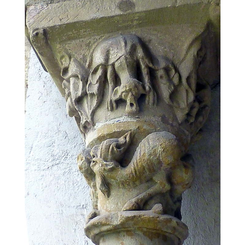
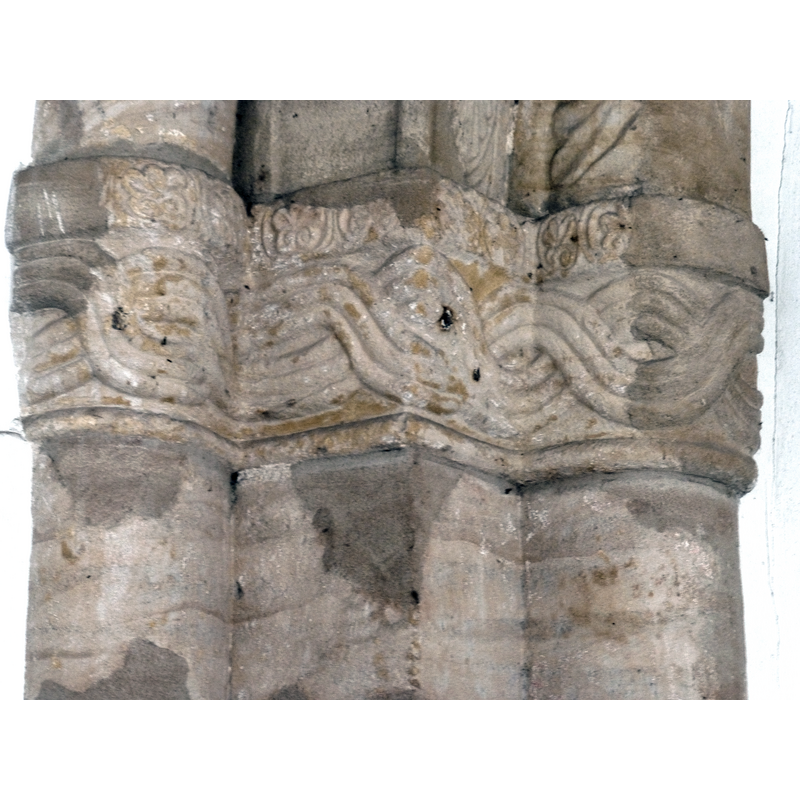
view of church exterior - cloister - detail
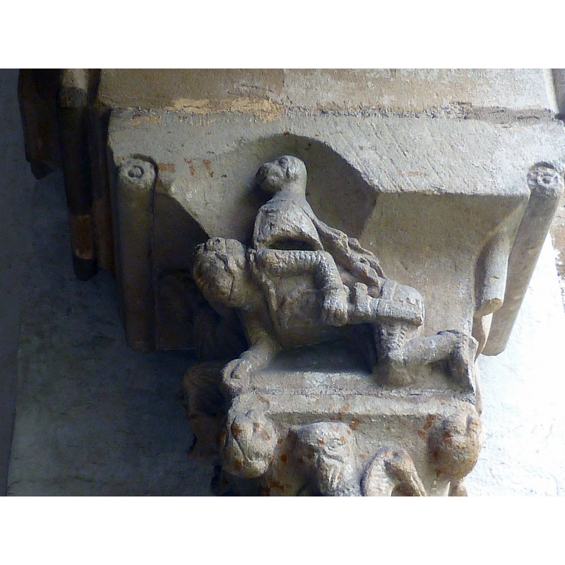
Copyright Statement: Image copyright © Baptisteria Sacra Index, 2023
Image Source: digital photograph taken 1 October 2017 by BSI
Copyright Instructions: CC-BY-NC-ND-4.0
view of church exterior - cloister - detail
Copyright Statement: Image copyright © Baptisteria Sacra Index, 2023
Image Source: digital photograph taken 1 October 2017 by BSI
Copyright Instructions: CC-BY-NC-ND-4.0
view of church exterior - cloister - detail
Copyright Statement: Image copyright © Baptisteria Sacra Index, 2023
Image Source: digital photograph taken 1 October 2017 by BSI
Copyright Instructions: CC-BY-NC-ND-4.0
view of church exterior - cloister - detail
Copyright Statement: Image copyright © Baptisteria Sacra Index, 2023
Image Source: digital photograph taken 1 October 2017 by BSI
Copyright Instructions: CC-BY-NC-ND-4.0
view of church exterior - cloister - detail
Copyright Statement: Image copyright © Baptisteria Sacra Index, 2023
Image Source: digital photograph taken 1 October 2017 by BSI
Copyright Instructions: CC-BY-NC-ND-4.0
view of church exterior - cloister - detail
Copyright Statement: Image copyright © Baptisteria Sacra Index, 2023
Image Source: digital photograph taken 1 October 2017 by BSI
Copyright Instructions: CC-BY-NC-ND-4.0
view of church exterior - cloister - detail
Copyright Statement: Image copyright © Baptisteria Sacra Index, 2023
Image Source: digital photograph taken 1 October 2017 by BSI
Copyright Instructions: CC-BY-NC-ND-4.0
view of church exterior - cloister - detail
Copyright Statement: Image copyright © Baptisteria Sacra Index, 2023
Image Source: digital photograph taken 1 October 2017 by BSI
Copyright Instructions: CC-BY-NC-ND-4.0
view of church exterior - cloister - detail
Copyright Statement: Image copyright © Baptisteria Sacra Index, 2023
Image Source: digital photograph taken 1 October 2017 by BSI
Copyright Instructions: CC-BY-NC-ND-4.0
view of church exterior - cloister - detail
Copyright Statement: Image copyright © Baptisteria Sacra Index, 2023
Image Source: digital photograph taken 1 October 2017 by BSI
Copyright Instructions: CC-BY-NC-ND-4.0
view of church exterior - cloister - detail
Copyright Statement: Image copyright © Baptisteria Sacra Index, 2023
Image Source: digital photograph taken 1 October 2017 by BSI
Copyright Instructions: CC-BY-NC-ND-4.0
view of church exterior - cloister - detail
Copyright Statement: Image copyright © Baptisteria Sacra Index, 2023
Image Source: digital photograph taken 1 October 2017 by BSI
Copyright Instructions: CC-BY-NC-ND-4.0
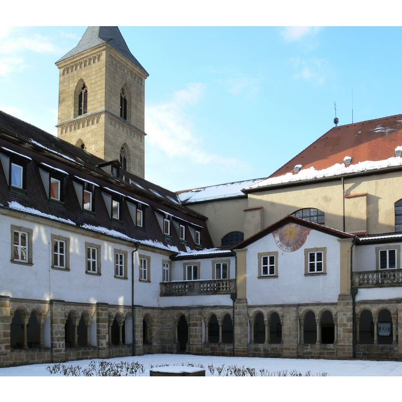
view of church exterior - cloister - detail
Copyright Statement: Image copyright © [in the public domain]
Image Source: digital photograph taken 7 March 2016 by Johannes Otto Först [https://commons.wikimedia.org/wiki/File:Karmelitenkreuzgang_Bamberg_Winter.JPG] [accessed 4 December 2017]
Copyright Instructions: PD-author
view of church exterior - cloister - detail
Copyright Statement: Image copyright © Reinhold Möller, 2017
Image Source: digital photograph taken 24 September 2017 by Reinhold Möller [https://commons.wikimedia.org/wiki/File:Karmlitenkloster_Kreuzgang_9244355.jpg] [accessed 4 December 2017]
Copyright Instructions: CC-BY-SA-4.0
view of church exterior - northwest view
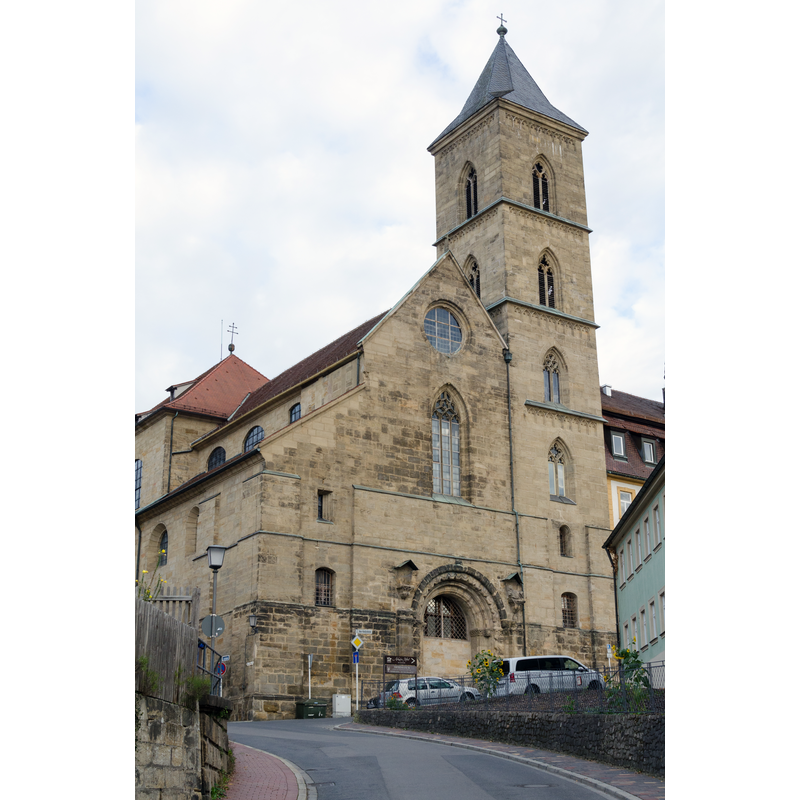
Copyright Statement: Image copyright © Tilman2007, 2015
Image Source: digital photograph taken 12 October 2005 by Tilman2007 [https://commons.wikimedia.org/wiki/File:Bamberg,_Karmeliterkirche,_von_Westen,_20151009-001.jpg] [accessed 4 December 2017]
Copyright Instructions: GFDL / CC-BY-SA-3.0
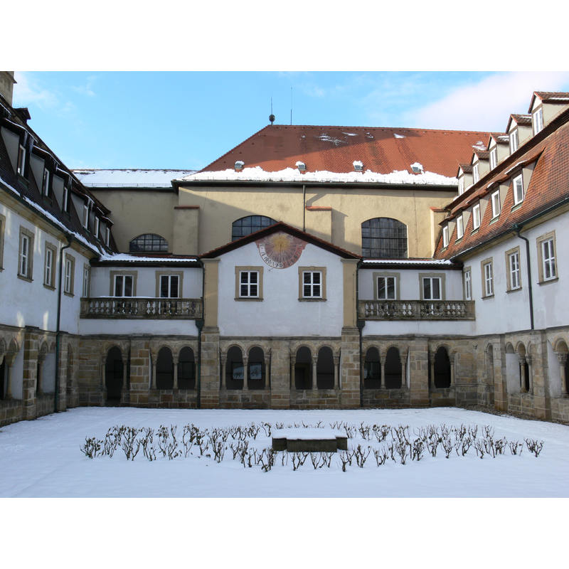
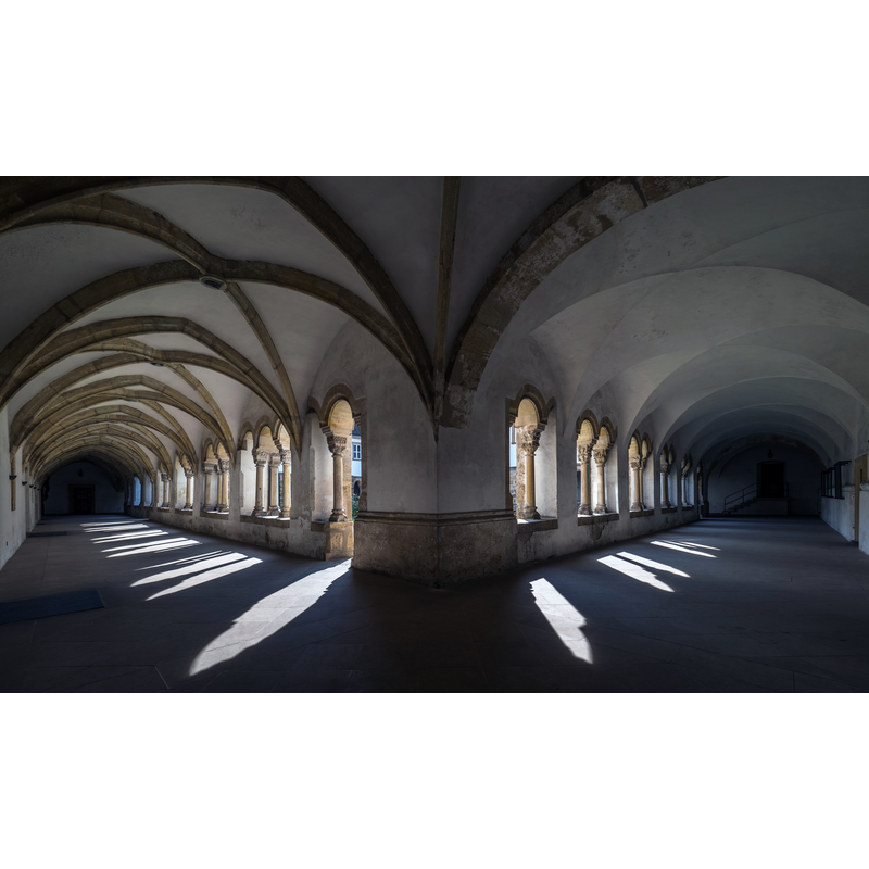
view of church exterior - cloister
Scene Description: the 14thC cloister
Copyright Statement: Image copyright © [in the public domain]
Image Source: digital photograph taken 7 March 2006 by Johannes Otto Först [http://commons.wikimedia.org/wiki/File:Karmelitenkreuzgang_Bamberg_im_Winter.JPG] [accessed 16 November 2014]
Copyright Instructions: PD
view of church exterior - detail
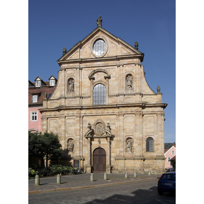
Scene Description: the Karmelitenplatz entrance and its neo-Baroque
Copyright Statement: Image copyright © Berthold Werner, 2013
Image Source: digital photograph taken 19 June 2013 by Berthold Werner [http://commons.wikimedia.org/wiki/File:Bamberg_BW_2013-06-19_08-30-18.JPG] [accessed 16 November 2014]
Copyright Instructions: CC-BY-SA-3.0,2.5,2.0,1.0
INFORMATION
Font ID: 19504BAM
Object Type: Baptismal Font1?
Date Visited: 2017-10-01
Font Century and Period/Style: 11th - 12th century, Romanesque
Church / Chapel Name: Kirche St. Maria und St. Theodor / Karmelitenkloster Bamberg
Font Location in Church: [cf. FontNotes]
Church Patron Saint(s): St. Mary the Virgin & St. Theodor
Church Notes: originally documented ca. 1170; cloister added 14thC; later the church of a Cistercian convent of nuns in 1553 (but may have existed as a hospital early-11thC); major alteration ca. 1700 by Leonhard Dietzenhofer; became Carmelite in 1902
Church Address: Karmelitenplatz 1, Bamberg, Germany -- Tel.: +49 951 95290
Site Location: Oberfranken, Bayern, Germany, Europe
Directions to Site: Located N of road 22, W of Hwy. 73, about 50 km NNW of Nuremberg; the church is located SW of the Altstadt
Ecclesiastic Region: Erzdiözese Bamberg
Additional Comments: disappeared font? (the one from the 11th-12thC church here?)
Font Notes:
Click to view
On-site notes: no font found in this former church [NB: we have no information on the font of the original monastery/convent church here]
COORDINATES
UTM: 32U 635122 5527912
Latitude & Longitude (Decimal): 49.888333, 10.881111
Latitude & Longitude (DMS): 49° 53′ 18″ N, 10° 52′ 52″ E