Cow Honeybourne / Heniberge
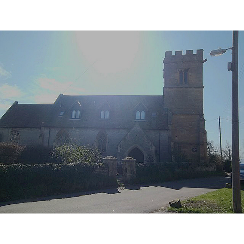
Image copyright © Michael Dibb, 2011
CC-BY-SA-2.0
Results: 2 records
view of church exterior - north view
Copyright Statement: Image copyright © Michael Dibb, 2011
Image Source: digital photograph taken 19 March 2011 by Michael Dibb [www.geograph.org.uk/photo/2356702] [accessed 4 November 2014]
Copyright Instructions: CC-BY-SA-2.0
view of church exterior - southwest view
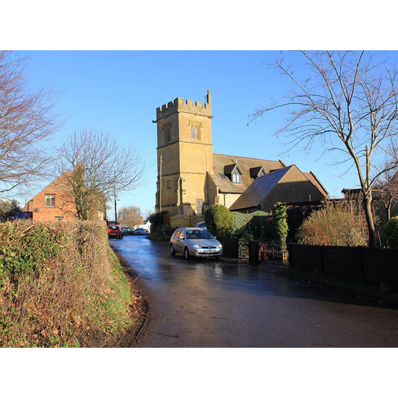
Scene Description: Source caption: "The original building was fifteenth century, but never consecrated, and was used as Almshouses until the nineteenth century. Between 1861 - 1862 it was restored under the direction of W.J. Hopkins. In 1975 it was sold for conversion to three properties."
Copyright Statement: Image copyright © David P Howard, 2011
Image Source: digital photograph taken 17 December 2011 by David P Howard [www.geograph.org.uk/photo/2741724] [accessed 4 November 2014]
Copyright Instructions: CC-BY-SA-2.0
INFORMATION
Font ID: 19487COW
Object Type: Baptismal Font1?
Font Century and Period/Style: 15th century, Perpendicular
Church / Chapel Name: Parish Church [a residential building since 1975]
Church Address: Brick Walk, Honeybourne, Worcestershire WR11 7DG
Site Location: Worcestershire, West Midlands, England, United Kingdom
Directions to Site: Located 8 km E of Evesham
Ecclesiastic Region: Diocese of Worcester
Historical Region: Hundred of Celfledetorn [in Domesday] -- Hundred of Blackenhurst
Additional Comments: disappeared font? (the one from the 15thC chapel/church here)
Font Notes:
Click to view
There is an entry for [Cow] Honeybourne [variant spelling] in the Domesday survey [http://domesdaymap.co.uk/place/SP1143/cow-honeybourne/] [accessed 4 November 2014], but it mentions neither cleric nor priest in it. Miller (1890) writes: "The Chapel of Cow Honeybourne, which had for many years many years been formed into small cottages, was sold by order of the Poor Law Board, and has since been restored to its former holy use. The work of restoration was carried out under the supervision of Mr. Hopkins, Diocesan Architect, and the late Mr. Walker." This 1862 re-building did noit last very long as the church became disused to the advantage of Church Honeybourne [cf. Index entry]. The church was reverted to private residential use in 1975 [source: http://churchdb.gukutils.org.uk/GLS1034.php [accessed 4 November 2014]]. [NB: it is not clear from the sources at hand whether this church was ever consecrated; it was used as almhouses for several centuries].
COORDINATES
UTM: 30U 579817 5771655
Latitude & Longitude (Decimal): 52.0897, -1.8357
Latitude & Longitude (DMS): 52° 5′ 22.92″ N, 1° 50′ 6″ W
REFERENCES
- Miller, George [Revd.], The Parishes of the Diocese of Worcester, Birmingham: Hall & English, 1890, vol. 2: 8