Zerbst No. 1
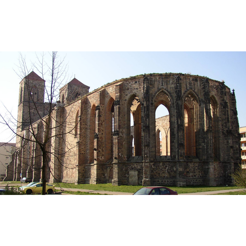
Image copyright © Doris Antony, 2007
CC-BY-SA-2.5
Results: 2 records
view of church exterior - southeast view
Scene Description: destroyed by Allied bombing 16 April 1945
Copyright Statement: Image copyright © Doris Antony, 2007
Image Source: digital photograph taken 27 March 2007 by Doris Antony [http://commons.wikimedia.org/wiki/File:Zerbst_St_Nikolai.jpg] [accessed 28 September 2014]
Copyright Instructions: CC-BY-SA-2.5
view of church exterior - southwest view
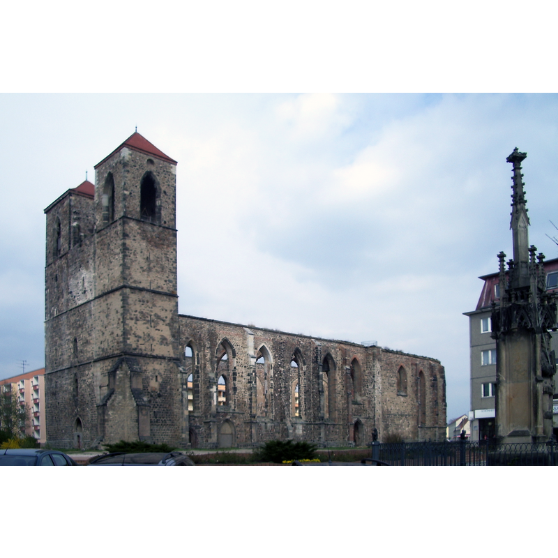
Scene Description: destroyed by Allied bombing 16 April 1945
Copyright Statement: Image copyright © Chris06, 2007
Image Source: digital photograph taken 9 April 2007 by Chris06 [http://commons.wikimedia.org/wiki/File:Nikolaikirche_Zerbst.JPG] [accessed 28 September 2014]
Copyright Instructions: CC-Zero
INFORMATION
Font ID: 19451ZER
Object Type: Baptismal Font1
Font Century and Period/Style: 12th century, Romanesque
Church / Chapel Name: St. Nikolaikirche Zerbst [in ruins since 1945]
Font Location in Church: [destroyed]
Church Patron Saint(s): St. Nicholas of Myra
Church Notes: 12thC church; expanded in 15thC; destroyed by Allied bombing 16 April 1945
Church Address: Schleibank 4, 39261 Zerbst/Anhalt, Germany
Site Location: Anhalt-Bitterfeld, Sachsen-Anhalt, Germany, Europe
Directions to Site: Located off the 184-187A crossroads, 14 km from the Elbe river, about 40 km SE of Magdeburg
Ecclesiastic Region: [Bistum Brandenburg]
Additional Comments: destroyed font? (the one from the 12thC church here)
Font Notes:
Click to view
[NB: we have no information on the font of the Romanesque church here]
COORDINATES
UTM: 33U 299753 5761649
Latitude & Longitude (Decimal): 51.969396, 12.084788
Latitude & Longitude (DMS): 51° 58′ 9.83″ N, 12° 5′ 5.24″ E