Yardley nr. Birmingham / Gerlei / Yerdeley
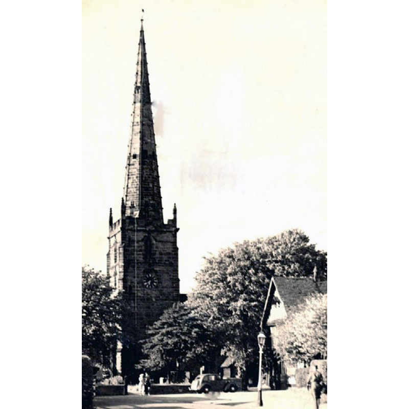
Image copyright © James Henry Yardley Jr, [ca.1939]
CC-BY-SA-2.0
Results: 2 records
view of church exterior
Copyright Statement: Image copyright © James Henry Yardley Jr, [ca.1939]
Image Source: B&W photograph taken ca.1939 by James Henry Yardley Jr [www.geograph.org.uk/photo/411508] [accessed 22 September 2014]
Copyright Instructions: CC-BY-SA-2.0
view of church exterior in context
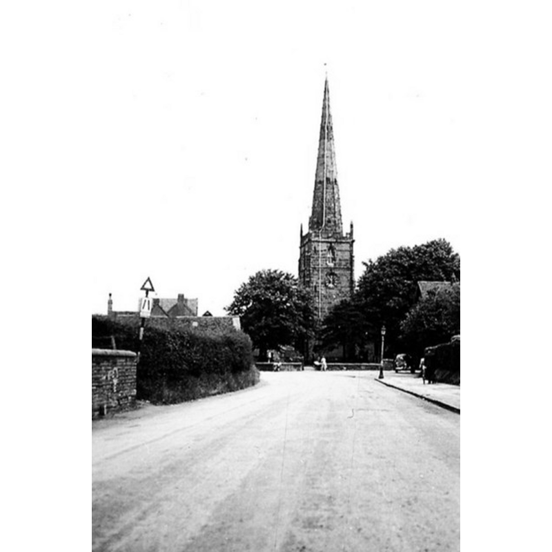
Copyright Statement: Image copyright © Dr Georg Loessl, 1952
Image Source: B&W photograph taken June 1952 by Dr Georg Loessl [www.geograph.org.uk/photo/1139480] [accessed 22 September 2014]
Copyright Instructions: CC-BY-SA-2.0
INFORMATION
Font ID: 19440YAR
Object Type: Baptismal Font1?
Font Century and Period/Style: 13th century, Medieval
Church / Chapel Name: Parish Church of St. Edburgha [aka Old Yardley Church]
Church Patron Saint(s): St. Edburga of Winchester [aka Eadburga, Eadburgh, Eadburh, Edburgh, Edburgha]
Church Address: Church Road, Yardley, Birmingham B33 8PB -- Tel.: 0121 783 4736
Site Location: West Midlands, West Midlands, England, United Kingdom
Directions to Site: Yardley is now part of Birmingham, towards the E of the conurbation
Ecclesiastic Region: Diocese of Birmingham [originally in the Diocese of Lichfield]
Historical Region: Hundred of Pershore -- formerly in Worcestershire
Additional Comments: disappeared font? (the one from the 13thC church here)
Font Notes:
Click to view
There is an entry for this Yardley [variant spelling] in the Domesday survey [http://domesdaymap.co.uk/place/SP1285/yardley/] [accessed 22 September 2014], but it mentions neither cleric nor church in it. Miller (1890) writes: "The church has characteristics of the 13th century, and in the 14th and 15th good work was done to it", but mentions no font in it. English Heritage [Listing NGR: SP1349886308] mentions no font in it, which usually means it is modern. The Victoria County History (Worcester, vol. 3, 1913) notes: "No mention occurs of the church of Yardley until the 13th century [...] The 13th-century remains include the south doorway, the south wall of the chancel, which contains a lancet window, and a similar window in the north wall of the vestry, formerly in the chancel. They point to a simple church of that date, consisting probably of chancel and nave only. In the 14th century north and south transepts seem to have been added and the chancel lengthened eastwards, and in the 15th century the west tower was built and the north aisle added. In recent years the south transept and the east end of the chancel were rebuilt and the vestry added"; no font mentioned in the VCH entry.
COORDINATES
UTM: 30U 581329 5814490
Latitude & Longitude (Decimal): 52.4745, -1.8026
Latitude & Longitude (DMS): 52° 28′ 28.2″ N, 1° 48′ 9.36″ W
REFERENCES
- Victoria County History [online], University of London, 1993-. URL: https://www.british-history.ac.uk.
- Miller, George [Revd.], The Parishes of the Diocese of Worcester, Birmingham: Hall & English, 1890, vol. 2: 87-88