Crosby Garrett
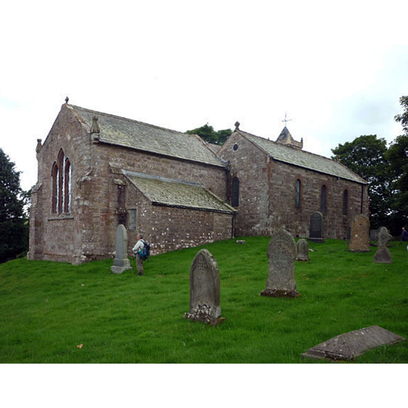
Image copyright © Karl 'n' Ali, 2010
CC-BY-SA-2.0
Results: 3 records
view of church exterior - northeast view
Copyright Statement: Image copyright © Karl 'n' Ali, 2010
Image Source: digital photograph taken 25 August 2010 by Karl 'n' Ali [www.geograph.org.uk/photo/2037867] [accessed 28 July 2014]
Copyright Instructions: CC-BY-SA-2.0
view of church exterior - southwest view
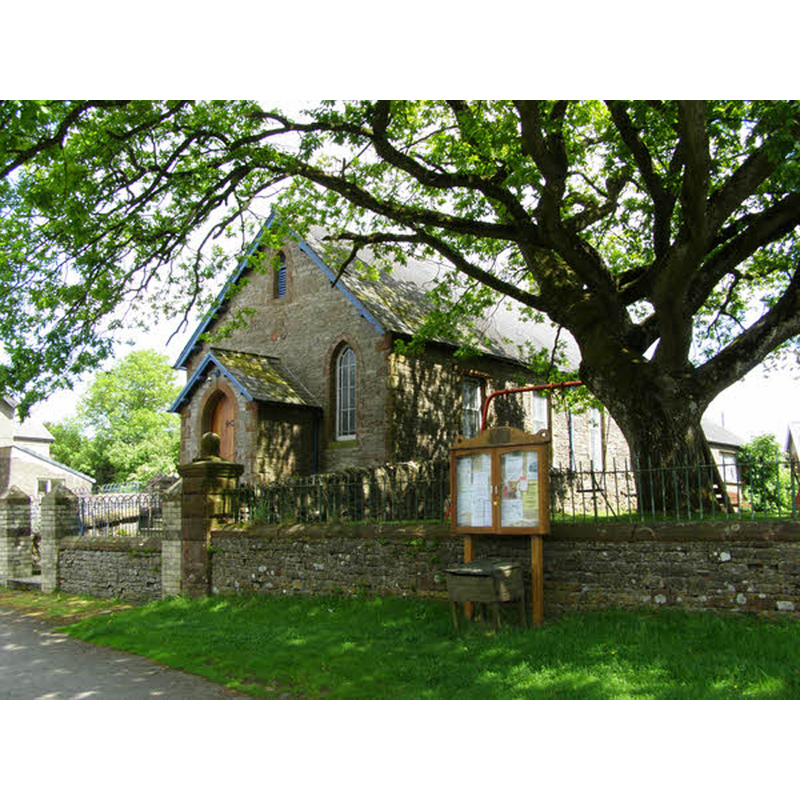
Copyright Statement: Image copyright © mauldy, 2008
Image Source: digital photograph taken 8 June 2008 by mauldy [www.geograph.org.uk/photo/836182] [accessed 28 July 2014]
Copyright Instructions: CC-BY-SA-2.0
view of church interior - nave - looking east
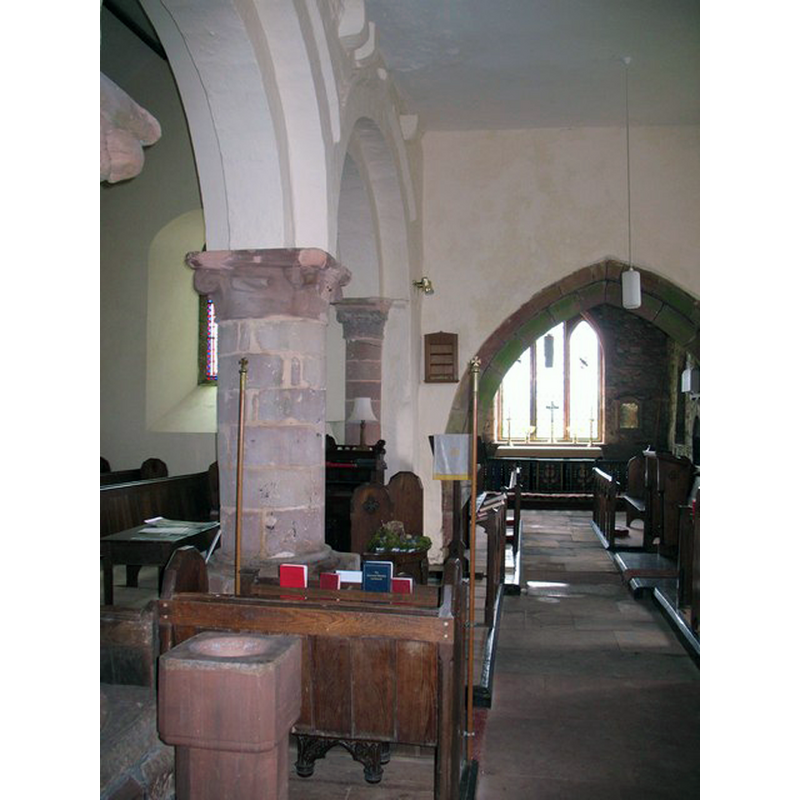
Scene Description: with the later font in the foreground
Copyright Statement: Image copyright © Gordon Halton, 2010
Image Source: digital photograph taken 2 May 2010 by Gordon Hatton [www.geograph.org.uk/photo/1840632] [accessed 28 July 2014]
Copyright Instructions: CC-BY-SA-2.0
INFORMATION
Font ID: 19388CRO
Object Type: Baptismal Font1?
Font Century and Period/Style: 11th - 12th century, Norman
Church / Chapel Name: Parish Church of St. Andrew
Church Patron Saint(s): St. Andrew
Church Notes: three-bay arcade said to be ca. 1175
Church Address: Gallansay Lane, Crosby Garrett, Cumbria CA17 4PR
Site Location: Cumbria, North West, England, United Kingdom
Directions to Site: Crosby Garrett, Cumbria, CA174PW
Ecclesiastic Region: Diocese of Carlisle
Historical Region: North Westmorland
Additional Comments: disappeared font? (the one from the original 112thC church here)
Font Notes:
Click to view
Curwen (1932) reports this church valued in the ""Antique Taxatio Ecclesiastica" of Pope Nicholas IV, made in the year 1291". English Heritage [Listing NGR: NY7299009717] (1983), which gives the earliest date for this church as the 11th century, notes: "Font in nave had C17/C18 rectangular bowl with moulded sides (now, 1983, demounted; on floor in north aisle); supporting octagonal shaft has moulded blocks with chamfered corners to top and bottom." [NB" we have no information on the medieval font(s) here].
COORDINATES
UTM: 30U 537682 6037318
Latitude & Longitude (Decimal): 54.4821, -2.4184
Latitude & Longitude (DMS): 54° 28′ 55.56″ N, 2° 25′ 6.24″ W
REFERENCES
- Curwen, John F., The Later Records relating to North Westmorland: or the Barony of Appleby, Kendal: T. Wilson, 1932, p. 110-114 / [www.british-history.ac.uk/report.aspx?compid=43505] [accessed 28 July 2014]