Denton nr. Manchester
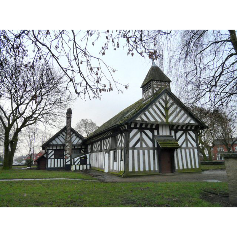
Image copyright © Gerald England, 2009
CC-BY-SA-2.0
Results: 2 records
view of church exterior - northwest view
Scene Description: Photo caption: "St Lawrence was founded in 1468. The original dedication to St. James was changed by the rector around 1800. A timber-framed Church dated from the 1530s [...] Viewed from Market Street"
Copyright Statement: Image copyright © Gerald England, 2009
Image Source: digital photograph taken 17 February 2009 by Gerald England [www.geograph.org.uk/photo/1166440] [accessed 23 July 2014]
Copyright Instructions: CC-BY-SA-2.0
view of church exterior - southwest view
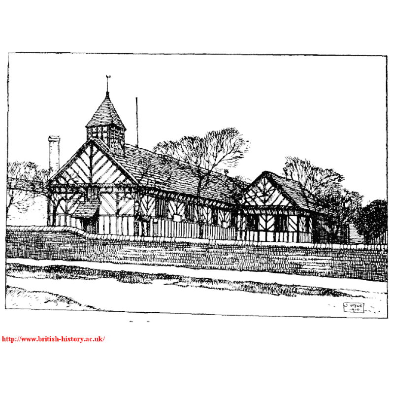
Copyright Statement: Image copyright © [in the public domain]
Image Source: digital image of a 1910 illustration in the VCH [www.british-history.ac.uk/report.aspx?compid=41432] [accessed 23 July 2014]
Copyright Instructions: PD
INFORMATION
Font ID: 19376DEN
Object Type: Baptismal Font1
Font Date: ca. 1530?
Font Century and Period/Style: 16th century(early?), Tudor
Church / Chapel Name: Parish Church of St. Lawrence [aka St. Laurence's, Th'Owd Peg -- formerly St. James']]
Church Patron Saint(s): St. Lawrence [aka Laurence] [formerly St. James]
Church Notes: original church/chapel ca. 1530?; timber-framed church; re-dedicated to St Lawrence in 1839; became a parish church in 1854; restored between 1993 and 2009
Church Address: Stockport Road Denton, Denton, Greater Manchester, M34 6AD
Site Location: Greater Manchester, North West, England, United Kingdom
Directions to Site: Located 6 km NNE of Stockport, 8 km from Manchester city centre
Ecclesiastic Region: Diocese of Manchester [formerly in the Diocese of Lichfield]
Historical Region: Hundred of Salford -- formerly Lancashire
Additional Comments: disappeared font? (the one from the original ca. 1530 church/chapel here)
Font Notes:
Click to view
No individual entry found for this Denton in the Domesday survey. The entry for this township in the Victoria County History (Lancaster, vol. 4, 1911) reports "a good 18th-century stone font on a new shaft". The present font is noted in English Heritage [Listing NGR: SJ9264095055] (1967) as early-18th century: it consists of a round basin with a pronounced 'lip' moulding, the underbowl gadrooned; on a round fluted pedestal base, a moulded lower base and a small square plinth. [NB: we have no information on the font of the original church/chapel here]
COORDINATES
UTM: 30U 559042 5922922
Latitude & Longitude (Decimal): 53.452, -2.1109
Latitude & Longitude (DMS): 53° 27′ 7.2″ N, 2° 6′ 39.24″ W
REFERENCES
- Victoria County History [online], University of London, 1993-. URL: https://www.british-history.ac.uk.