Newton Heath / Newton nr. Manchester
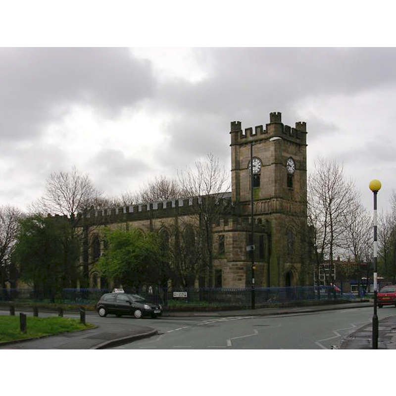
Image copyright © Keith Williamson, 2005
CC-BY-SA-2.0
Results: 1 records
view of church exterior - northwest view
Copyright Statement: Image copyright © Keith Williamson, 2005
Image Source: digital photograph taken 6 April 2005 by Keith Williamson [www.geograph.org.uk/photo/1541] [accessed 22 July 2014]
Copyright Instructions: CC-BY-SA-2.0
INFORMATION
Font ID: 19373NEW
Object Type: Baptismal Font1?
Font Century and Period/Style: 16th century(early?), Pre-Reformation
Church / Chapel Name: Parish Church of All Saints
Church Patron Saint(s): All Saints
Church Notes: present church mid-16thC, a re-building of an earlier chapel here
Church Address: 2 Culcheth Ln, Newton Heath, Manchester, Greater Manchester M40 2JL, UK
Site Location: Greater Manchester, North West, England, United Kingdom
Directions to Site: Located S of Moston, 3 km ENE from Manchester city centre
Ecclesiastic Region: Diocese of Manchester
Historical Region: Hundred of Salford -- formerly Lancashire
Additional Comments: disappeared font? (the one from the early-16thC church/chapel here) -- email sent to parish to try to get some images of the font from Covenham St Bartholomew
Font Notes:
Click to view
No idividual entry found for this Newton in the Domesday survey. Lewis (1848) notes: "The former chapel, dedicated to All Saints, and built prior to 1650, fell down on the 2nd of May, 1808", and reports the replacement church here as modern, consecrated in 1846. The Victoria County History (Lancaster, vol. 4, 1911) notes: "The chapel, now A[ll] S[aints'] C[hurch], was built on the heath perhaps not long before the Reformation. [...] In the Visitation list of 1563 Ralph Ridde appeared as curate of Newton. [...] There was no endowment, and the minister in 1610 was paid by voluntary offerings. [...] The Parliamentary Surveyors in 1650 recommended that it be made a parish church".
COORDINATES
UTM: 30U 554733 5928329
Latitude & Longitude (Decimal): 53.501068, -2.174837
Latitude & Longitude (DMS): 53° 30′ 3.85″ N, 2° 10′ 29.41″ W
REFERENCES
- Victoria County History [online], University of London, 1993-. URL: https://www.british-history.ac.uk.
- Lewis, Samuel, A Topographical Dictionary of England, Comprising the Several Counties, Cities, Boroughs, Corporate and Market Towns, Parishes, Chapelries, and Townships, and the Islands of Guernsy, Jersey, and Man, with Historical and Statistical Descriptions [...], London: S. Lewis, 1848-1849, p. 404-407 / [http://british-history.ac.uk/report.aspx?compid=51176] [accessed 22 July 2014]