Astley / Asteleye / Asthlegh / Astleghe
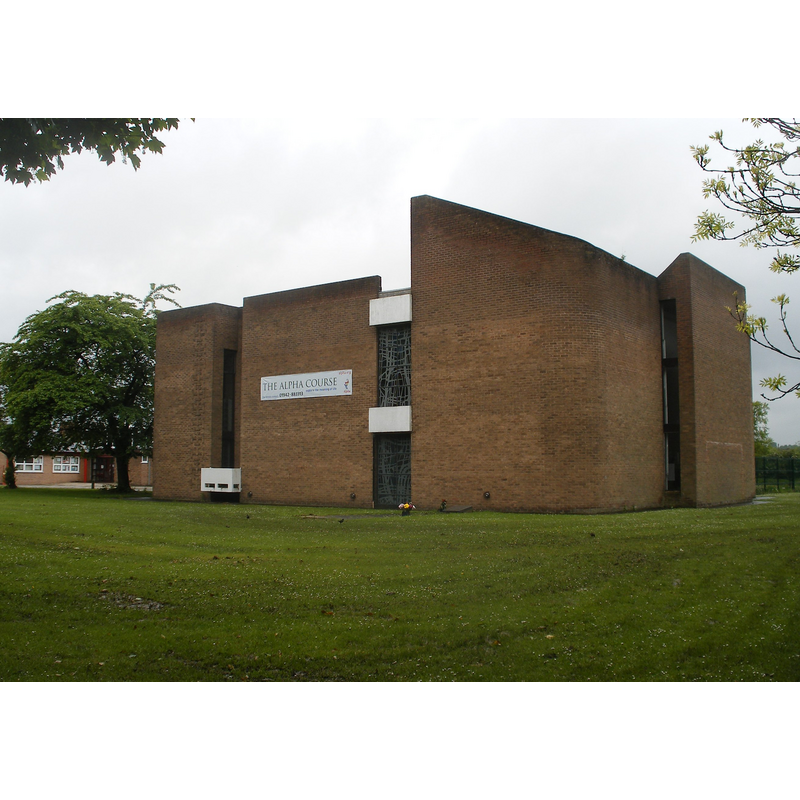
Image copyright © J3Mrs, 2009
CC-BY-3.0
Results: 3 records
view of church exterior
Scene Description: the 1968 re-building; the previous church was destroyed in 1961 by an arson attack
Copyright Statement: Image copyright © J3Mrs, 2009
Image Source: digital photograph taken 22 May 2009 by J3Mrs [http://en.wikipedia.org/wiki/File:Astley_St_Stephens.JPG] [accessed 15 July 2014]
Copyright Instructions: CC-BY-3.0
view of church exterior - northwest view
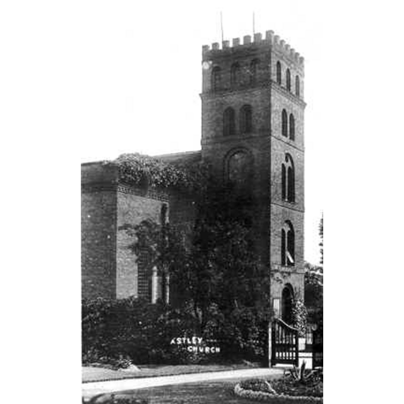
Copyright Statement: Image copyright © www.churches-uk-ireland.org, 2014
Image Source: B&W photograph [www.churches-uk-ireland.org/images/unknown/astley.jpg] [accessed 15 July 2014]
Copyright Instructions: CC-BY-3.0
view of church exterior - southwest view
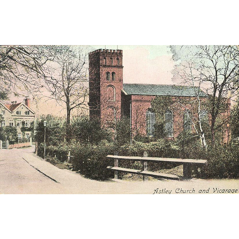
Copyright Statement: Image copyright © www.churches-uk-ireland.org, 2014
Image Source: undated postcard [ca. 1905?] reproduced in [www.churches-uk-ireland.org/images/manc/astley.jpg] [accessed 15 July 2014]
Copyright Instructions: CC-BY-3.0
INFORMATION
Font ID: 19356AST
Object Type: Baptismal Font1
Font Date: ca. 1631?
Font Century and Period/Style: 17th century(early?)
Church / Chapel Name: Chapel of St. Stephen [destroyed by fire in 1961]
Church Patron Saint(s): St. Stephen
Church Notes: original chapel here consecrated 1631, a chapel of ease to Leigh's parish church; re-built 1760; burned down in an arson attack in 1961; re-built elsewhere in 1968
Church Address: [address for the new 1968 chapel] Manchester Road, Astley, Astley, Greater Manchester, M29 7BT -- Tel.: +44 1942 883313
Site Location: Greater Manchester, North West, England, United Kingdom
Directions to Site: The re-built chapel is on the A572 [aka Manchester Rd.], near Tyldesley, in the Metropolitan Borough of Wigan, 14 km from Manchester city centre
Ecclesiastic Region: Diocese of Manchester
Historical Region: Hundred of West Derby
Additional Comments: disappeared font? / destroyed font? (the one from the 1630s chapel-of-ease here)
Font Notes:
Click to view
The Victoria County History (Lancaster, vol. 3, 1907) notes: "The chapel of St. Stephen at Astley, consecrated in 1631, was founded by Adam Mort of Dam House in Tyldesley", and reports a Thomas Crompton as incumbent in 1632. [NB: we assume the chapel had sacramental functions and would therefore have had a font].
COORDINATES
UTM: 30U 536084 5928143
Latitude & Longitude (Decimal): 53.501, -2.456
Latitude & Longitude (DMS): 53° 30′ 3.6″ N, 2° 27′ 21.6″ W