Karow / Berlin-Karow / Kare
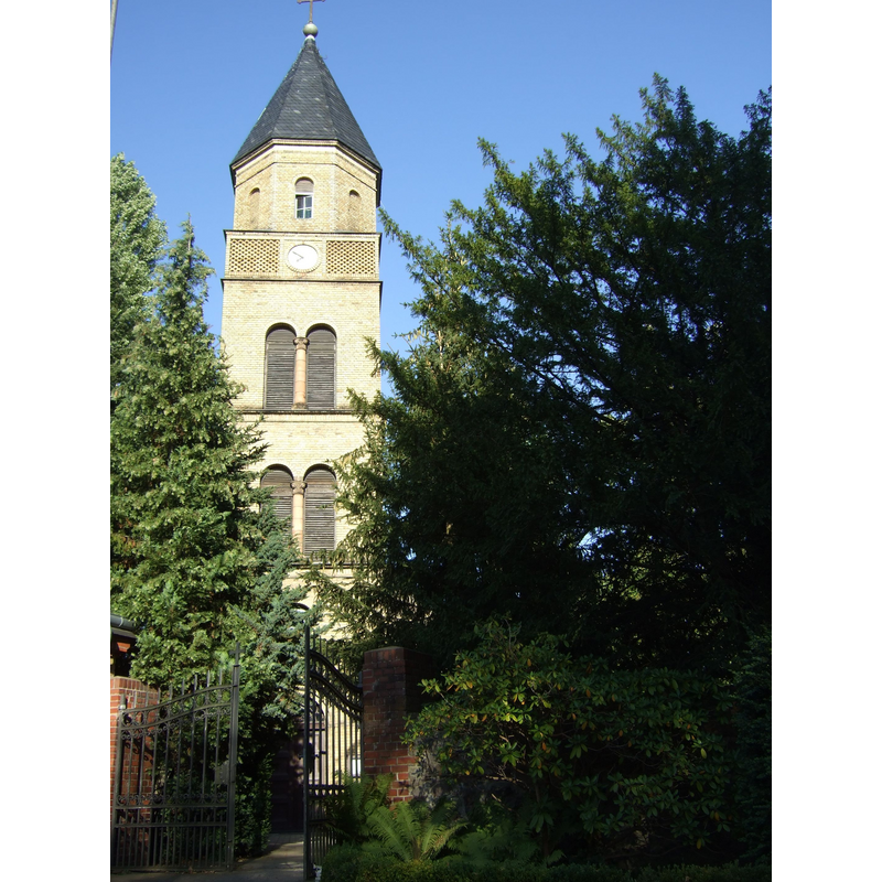
Image copyright © Sebastian Wallroth, 2009
CC-BY-SA-3.0
Results: 3 records
view of church exterior - west tower
Copyright Statement: Image copyright © Sebastian Wallroth, 2009
Image Source: digital photograph taken 16 August 2009 by Sebastian Wallroth [http://commons.wikimedia.org/wiki/File:Dorfkirche_Berlin-Karow_007.jpg] [accessed 30 March 2014]
Copyright Instructions: CC-BY-SA-3.0
view of church exterior - south view
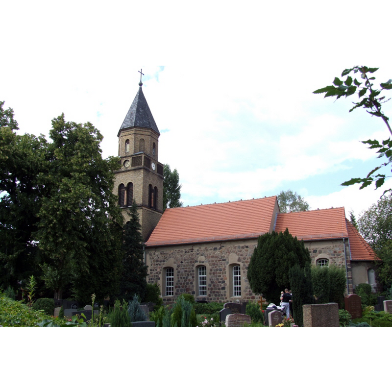
Copyright Statement: Image copyright © Harald Rossa, 2006
Image Source: digital photograph taken 12 August by Harald Rossa [http://commons.wikimedia.org/wiki/File:Dorfkirche_Karow_02.jpg] [accessed 30 March 2014]
Copyright Instructions: CC-BY-SA-3.0
view of church interior - pulpit
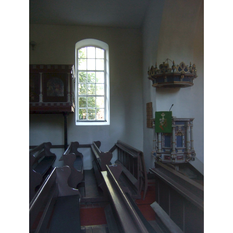
Copyright Statement: Image copyright © Sebastian Wallroth, 2009
Image Source: digital photograph taken 16 August 2009 by Sebastian Wallroth [http://commons.wikimedia.org/wiki/File:Dorfkirche_Berlin-Karow_011.jpg] [accessed 30 March 2014]
Copyright Instructions: CC-BY-SA-3.0
INFORMATION
Font ID: 19125KAR
Object Type: Baptismal Font1?
Font Date: ca. 1250?
Font Century and Period/Style: 13th century (mid?), Late Romanesque
Church / Chapel Name: Dorfkirche Karow / Karower Dorfkirche
Font Location in Church: [disappeared]
Church Notes: church here ca.1250; expanded in the 15th, 17th, 18th and 19thC
Church Address: Alt-Karow 14, 13125 Berlin, Germany -- Tel.: +49 30 9430102
Site Location: Berlin, Berlin, Germany, Europe
Directions to Site: Located off the B109, in the NE suburbs of Berlin [Bahnhof Karow, line 2, Berliner S-Bahn]
Historical Region: Bezirk Pankow [formerly in Niederbarnim district; in Weißensee]
Additional Comments: disappeared font? (the one from the ca.1250 church here)
Font Notes:
Click to view
The present font in this church is of the 18th century. [NB: we have no information on the font of the original mid-13th century church here].
COORDINATES
UTM: 33U 397346 5830183
Latitude & Longitude (Decimal): 52.611944, 13.483889
Latitude & Longitude (DMS): 52° 36′ 43″ N, 13° 29′ 2″ E