Nissan-lez-Enserune / Nissan-lès-Ensérune
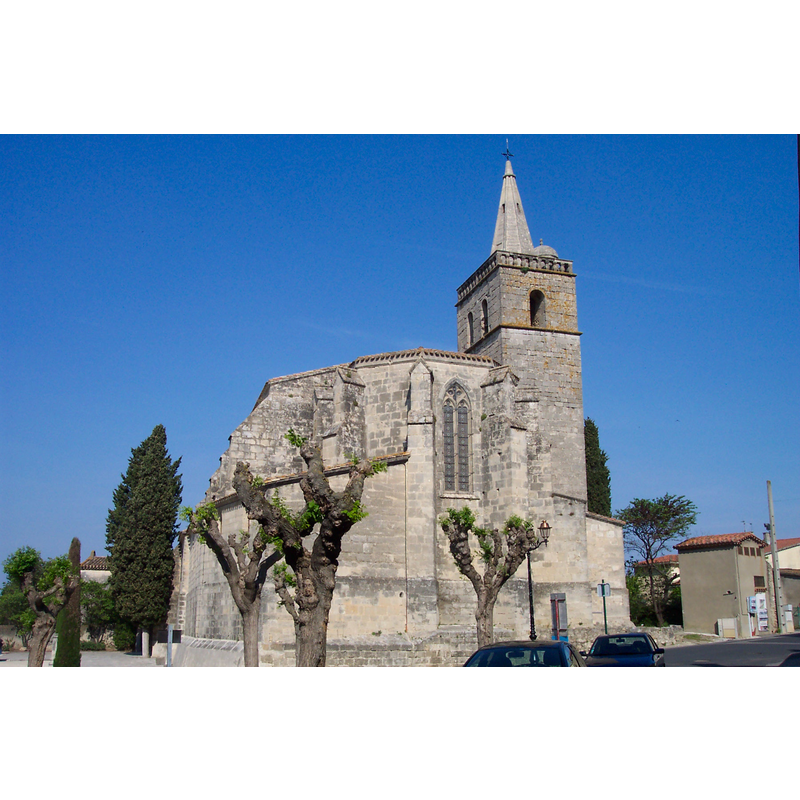
Image copyright © [in the public domain]
Released by its author into the public domain
Results: 1 records
view of church exterior
Copyright Statement: Image copyright © [in the public domain]
Image Source: digital photograph taken 1 May 2009 by Patrice Semeria [http://commons.wikimedia.org/wiki/File:F3440-Nissan-20090501-19.jpg] [accessed 19 February 2014]
Copyright Instructions: Released by its author into the public domain
INFORMATION
Font ID: 19098NIS
Object Type: Baptismal Font1?
Font Century and Period/Style: 11th century, Romanesque
Church / Chapel Name: Église paroissiale Saint-Saturnin de Nissan-lès-Ensérune
Font Location in Church: [disappeared]
Church Patron Saint(s): St. Saturninus
Church Notes: originally a priory church subject to the Benedictine Abbaye de Psalmody that had been founded in the 7thC. Listed in Mérimée [ref.: IA34000668]: " L'église Saint-Saturnin est mentionnée pour la première fois dans une bulle du pape Urbain II en 1099. Elle appartenait à l'abbaye bénédictine de Psalmodi. L'église fut reconstruite dans la 1ère moitié du 14e siècle. La chapelle sud de la dernière travée fut construite en 1643 et le clocher, élevé au nord de la dernière travée de la nef fut construit au 17e siècle".
Church Address: 1-2 Imp. de l'Abbé Joseph Giry, 34440 Nissan-lez-Enserune, France
Site Location: Hérault, Occitanie, France, Europe
Directions to Site: Located off (S) the D609, 7-8 km SW of Béziers
Ecclesiastic Region: Diocèse de Béziers
Historical Region: La Domitienne -- Pays d'Ensérune -- Languedoc
Additional Comments: disappeared font? (the one from the 11thC church here)
Font Notes:
Click to view
The present red-and-grey marble font is modern, 18th-19th century. Listed in Palissy [ref.: PM34001049]. [NB: we have no information on the font of the original 11th-century church here].
COORDINATES
Latitude & Longitude (Decimal): 43.292037, 3.127227
Latitude & Longitude (DMS): 43° 17′ 31.33″ N, 3° 7′ 38.02″ E