Villeneuve-les-Beziers / Vilanòva la Cremada / Villeneuve-lès-Béziers
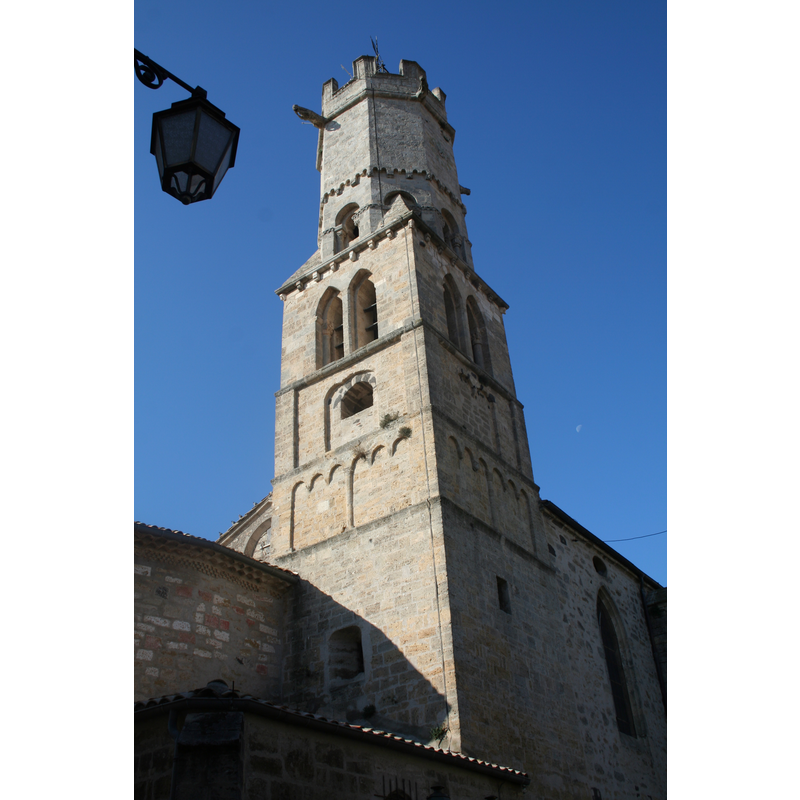
Image copyright © Fagairolles 34, 2007
CC-BY-SA-3.0
Results: 2 records
view of church exterior - tower
Copyright Statement: Image copyright © Fagairolles 34, 2007
Image Source: digital photograph taken 1 November 2007 by Fagairolles 34 [http://commons.wikimedia.org/wiki/File:Villeneuve-lès-Béziers_clocher.JPG] [accessed 18 February 2014]
Copyright Instructions: CC-BY-SA-3.0
view of church exterior - east view
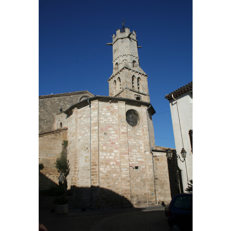
Copyright Statement: Image copyright © Fagairolles 34, 2007
Image Source: digital photograph taken 1 November 2007 by Fagairolles 34 [http://commons.wikimedia.org/wiki/File:Villeneuve-lès-Béziers_chevet_St-Etienne.JPG] [accessed 18 February 2014]
Copyright Instructions: CC-BY-SA-3.0
INFORMATION
Font ID: 19091VIL
Object Type: Baptismal Font1?
Font Century and Period/Style: 12th century, Romanesque
Church / Chapel Name: Église paroissiale de l'Invention-de-Saint-Étienne
Font Location in Church: [disappeared]
Church Patron Saint(s): St. Stephen
Church Notes: church originally of the 12thC. Listed in Mérimée [ref.: PA00103756]
Church Address: 34420 Villeneuve-lès-Béziers, France
Site Location: Hérault, Occitanie, France, Europe
Directions to Site: Located on the D37 (off the A9/E15), SE of Béziers, between Narbonne and Montpellier
Ecclesiastic Region: Diocèse de Perpignan-Elne
Historical Region: Béziers Méditerranée
Additional Comments: disappeared font? (the one from the 12thC church here)
Font Notes:
Click to view
The present font in this church is modern. Listed in Palissy [ref.: PM34001484] as a baptismal font made of marble in the 18th century. [NB: we have no information on the font of the original 12th-century church here].
COORDINATES
UTM: 31T 522712 4795793
Latitude & Longitude (Decimal): 43.314627, 3.280074
Latitude & Longitude (DMS): 43° 18′ 52.66″ N, 3° 16′ 48.26″ E