Montlucon No. 2 / Mohlicon / Molicon / Mollicon / Moluccoz / Moluçon / Monlicon / Monlucum / Monluzcon / Monslucii / Montelucionis / Montem Lucion / Montluçon / Montluzon
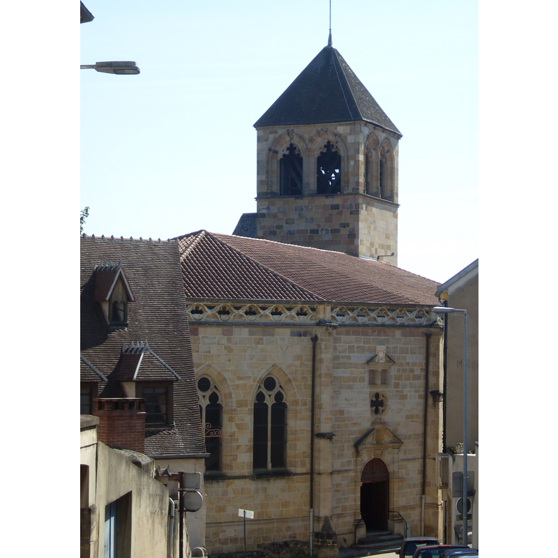
Image copyright © Otourly, 2010
GFDL / CC-BY-SA-3.0,2.5,2.0,1.0
Results: 4 records
view of church exterior in context
Copyright Statement: Image copyright © Otourly, 2010
Image Source: digital photograph taken 27 June 2010 by Otourly [http://commons.wikimedia.org/wiki/File:Montluçon_021.JPG] [accessed 7 February 2014]
Copyright Instructions: GFDL / CC-BY-SA-3.0,2.5,2.0,1.0
view of church exterior
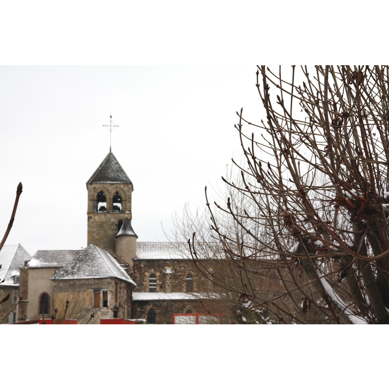
Copyright Statement: Image copyright © Otourly, 2010
Image Source: digital photograph taken 25 December 2010 by Otourly [http://commons.wikimedia.org/wiki/File:03._Montluçon_25_décembre_sous_la_neige.JPG] [accessed 7 February 2014]
Copyright Instructions: GFDL / CC-BY-SA-3.0,2.5,2.0,1.0
view of church interior - nave - looking west
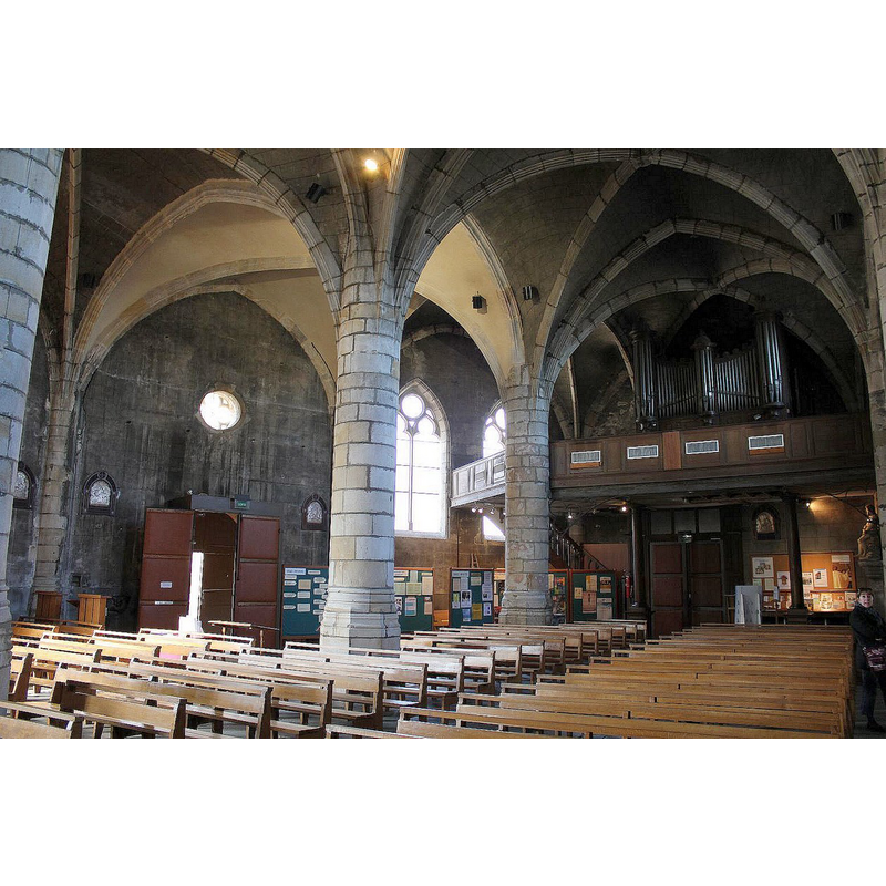
Copyright Statement: Image copyright © Modillons58, 2011
Image Source: digital photograph taken 31 October 2011 by Modillons58 [http://commons.wikimedia.org/wiki/File:Montluçon_église_Notre_Dame_(3).jpg] [accessed 7 February 2014]
Copyright Instructions: CC-BY-SA-3.0
view of church interior - nave - looking east
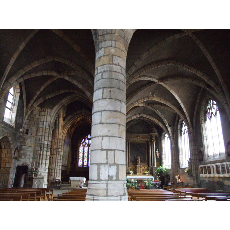
Copyright Statement: Image copyright © MOSSOT, 2005
Image Source: digital photograph taken 21 March 2005 by Mossot [http://commons.wikimedia.org/wiki/File:Montluçon_Eglise_Notre-Dame_-4.jpg] [accessed 7 February 2014]
Copyright Instructions: CC-BY-SA-3.0
INFORMATION
Font ID: 19066MON
Object Type: Stoup
Font Century and Period/Style: 13th century [base only] [composite stoup], Medieval [composite]
Church / Chapel Name: Église paroissiale Notre-Dame
Font Location in Church: Inside the church
Church Patron Saint(s): St. Mary the Virgin
Church Notes: original church here was 12thC; re-built ca.1400. Listed in Mérimée [ref.: PA00093169]: "Edifice présentant un plan à deux nefs, reconstruite par le duc Louis II de Bourbon à l'emplacement d'une église romane vers 1400. Les travaux se poursuivirent au 15e siècle pour en faire une église gothique. L'absidiole nord, quelques parties du croisillon nord, deux murs du choeur et les piles nord de la nef datent du 12e siècle. Le chevet, la croisée du transept, la majeure partie du bas-côté sud remontent au 16e siècle. Les chapelles latérales nord sont du 15e siècle. La porte de la façade occidentale est du 17e siècle, avec pilastres et fronton à niche."
Church Address: place Notre-Dame, 03100 Montluçon, France
Site Location: Allier, Auvergne-Rhône-Alpes, France, Europe
Directions to Site: Located S of Saint-Victor, N of Lavault-Sainte-Anne, 59 km from Guéret, 61 km from Moulins, 72 km from Clermont-Ferrand, 84 km de Bourges
Ecclesiastic Region: Diocèse de Moulins
Historical Region: Le Bocage bourbonnais -- Massif central
Additional Comments: composite stoup? (18thC basin ona re-cycled 13thC capital) -- disappeared font? (the one from the 12thC church here)
Font Notes:
Click to view
The church of Notre-Dame in this same town has a 18th century stoup mounted on a former 13th-century capital [referred to in Le Patrimoine des communes de l'Allier, v. p. 733; -- to be documented on site if possible] [NB: we have no information on the font of the original 12th-century church here].
COORDINATES
UTM: 31T 469610 5131984
Latitude & Longitude (Decimal): 46.340749, 2.60512
Latitude & Longitude (DMS): 46° 20′ 26.69″ N, 2° 36′ 18.43″ E
MEDIUM AND MEASUREMENTS
Material: stone