Saint-Bandry
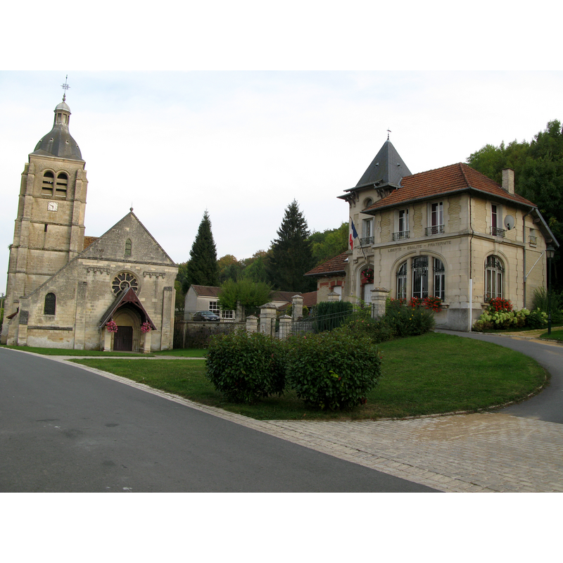
Image copyright © Markus3 (Marc Roussel), 2009
CC-BY-SA-3.0
Results: 1 records
view of church exterior in context
Scene Description: on the right the town hall [mairie]
Copyright Statement: Image copyright © Markus3 (Marc Roussel), 2009
Image Source: digital photograph taken 28 September 2009 by Markus3 (Marc Roussel) [http://commons.wikimedia.org/wiki/File:Saint-Bandry_église_et_mairie_1.jpg] [accessed 27 January 2014]
Copyright Instructions: CC-BY-SA-3.0
INFORMATION
Font ID: 19045BAN
Object Type: Baptismal Font1
Font Century and Period/Style: 13th century, Gothic
Church / Chapel Name: Église paroissiale Saint-Bandry de Saint-Bandry
Font Location in Church: [destroyed]
Church Patron Saint(s): St. Bandry
Church Notes: 12thC church; re-built 16thC. Listed in Mérimée [ref.: PA00115898]
Church Address: rue de l'Eglise, 02290 Saint Bandry , France
Site Location: Aisne, Hauts-de-France, France, Europe
Directions to Site: Located off the D1170, 3 km SW of Ambleny, W of Soissons
Ecclesiastic Region: Diocèse de Soissons, Laon et Saint Quentin
Historical Region: Le Soissonais -- Pays de la Vallée de l'Aisne
Additional Comments: destroyed font? (the 13thC font noted in Palissy? [cf. FontNotes]) -- disappeared font? (the one from the original 12thC church here)
Font Notes:
Click to view
Palissy [ref.: PM02000002] lists a 13th-century font, from either this church or the one at nearby Saint-Bandry, as destroyed in the 1914-1918 War: "église de Jouy ou église Saint-Bandry [...] fonts baptismaux [...] pierre : taillé [...] 13e siècle [...] Détruits pendant la guerre de 1914-1918." There is a second entry in Palissy [ref.: PM02000001] for another 13th-century font in one of the two churches: "église de Jouy ou église Saint-Bandry".
COORDINATES
UTM: 31U 512247 5468748
Latitude & Longitude (Decimal): 49.371311, 3.168695
Latitude & Longitude (DMS): 49° 22′ 16.72″ N, 3° 10′ 7.3″ E