Berlin No. 14
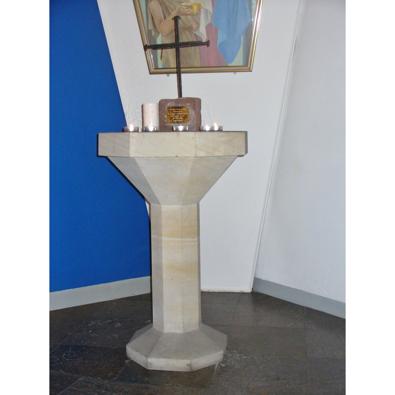
Image copyright © Colin Smith, 2014
Image and permission received (e-mail of 15 January 2014)
Results: 3 records
view of font
Scene Description: the 20th-century replacement font [cf. FontNotes]
Copyright Statement: Image copyright © Colin Smith, 2014
Image Source: digital photograph taken 7 December 2013 by Colin Smith
Copyright Instructions: Image and permission received (e-mail of 15 January 2014)
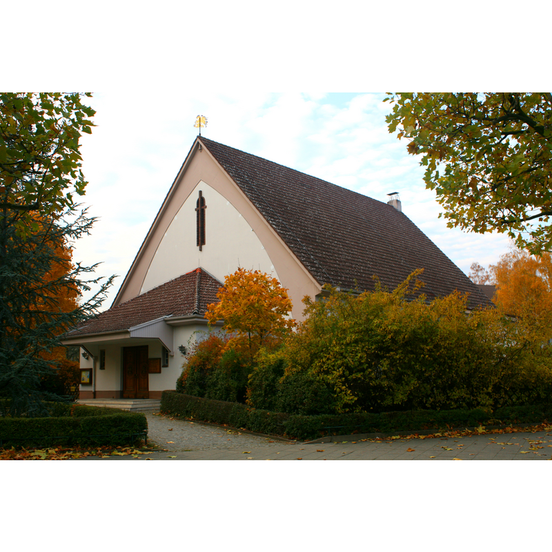
view of church exterior - southeast view
Copyright Statement: Image copyright © De-okin (talk), 2010
Image Source: digital photograph taken 31 October 2010 by De-okin (talk) [http://en.wikipedia.org/wiki/File:St._George’s_Church,_Berlin.JPG] [accessed 18 January 2014]
Copyright Instructions: CC-BY-SA-3.0
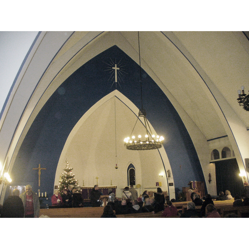
view of church interior - chancel and east end
Copyright Statement: Image copyright © Colin Smith, 2014
Image Source: digital photograph taken 7 December 2013 by Colin Smith
Copyright Instructions: Image and permission received (e-mail of 15 January 2014)
INFORMATION
Font ID: 19005BER
Object Type: Baptismal Font1?
Font Date: ca. 1855?
Font Century and Period/Style: 19th century (mid?), Victorian
Church / Chapel Name: St. George's Anglican Church / Englische Kirche zu St. Georg
Church Patron Saint(s): St. George
Church Notes: the Church's site [www.stgeorges.de/aboutus.html] [accessed 18 January 2014] informs: "There has been Anglican Worship in Berlin since at least 1830. Initially in the historic centre - Mitte - of the city and from 1855 in the gatehouse of Monbijou Palace on Oranienburgerstasse, which was destroyed during the Second World War. This 'English Chapel' was soon found to be too small for the new German Capital City, and so under the patronage of the English born Crown Princess Victoria, the first St George`s Anglican Church was built in 1885 in the grounds of the Monbijou Palace [...] closed at the outbreak of the Second World War, and was hit by allied bombing in 1943 and 1944. The remains of the Church, being in East Berlin, were pulled down by the German Democratic Republic (GDR) [...] In 1950 a new St George’s Church was built in the British sector of West Berlin, near the Olympic Stadium in Neu-Westend. It was run as a Garrison Church for the British military [...] After the Allies withdrew from the reunited Berlin in 1994, St George’s once again became a civilian Church. In 2003".
Church Address: new church is on Preussenallee; original church was on Monbijou Park
Site Location: Berlin, Berlin, Germany, Europe
Directions to Site: the new church is located in Neu-Westend, Berlin
Ecclesiastic Region: Diocese of Gibraltar in Europe
Historical Region: Prussia
Additional Comments: destroyed font? (by Allied bombings in WWII)
Font Notes:
Click to view
The font of the original mid-19th century church was probably destroyed when the church itself succumbed to the Allied bombing in 1943-1944. The present font is a 29th-century replacement of plain octagonal design.
COORDINATES
UTM: 33U 381827 5819437
Latitude & Longitude (Decimal): 52.512222, 13.258611
Latitude & Longitude (DMS): 52° 30′ 44″ N, 13° 15′ 31″ E