Ramecourt in Saint-Erme-Outre-et-Ramecourt
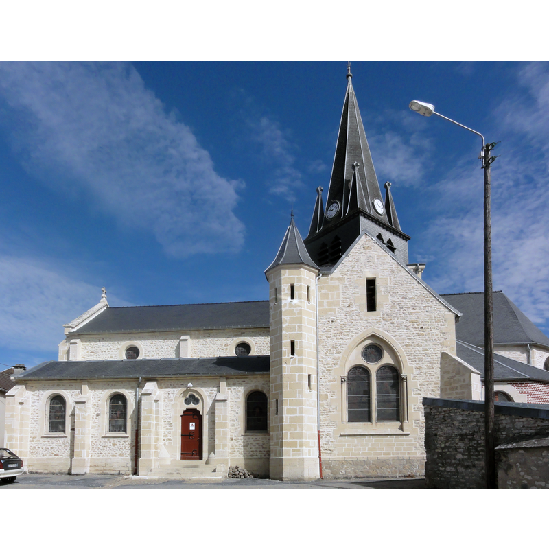
Image copyright © [in the public domain]
CC-Zero
Results: 1 records
view of church exterior
Scene Description: Source caption: "Saint-Erme-Outre-et-Ramecourt (Aisne) église de Ramecourt"
Copyright Statement: Image copyright © [in the public domain]
Image Source: digital photograph taken 28 June 2015 by Havang(nl) [https://commons.wikimedia.org/wiki/File:Saint-Erme-Outre-et-Ramecourt_(Aisne)_église_de_Ramecourt.JPG] [accessed 1 June 2016]
Copyright Instructions: CC-Zero
INFORMATION
Font ID: 18959RAM
Object Type: Baptismal Font1?
Font Century and Period/Style: 12th century (?), Medieval
Church / Chapel Name: Église Saint-Théodulphe de Ramecourt
Font Location in Church: [disappeared]
Church Patron Saint(s): St. Theodulph [aka Theodul, Théodule, Théodulphe, Thiou, Thious]
Church Notes: present church is 19thC, but there must have been an earlier [12thC?] church here, as it is church named in Matton's 'Inventaire-sommaire des archives départementales. Aisne' (1885, t.3, p. 885), in a "1693-1765.-- Déclarations des biens revenus et charges des cures de [...] Saint Théodulphe de Ramecourt et Saint Gaugerie d'Outre"
Church Address: 2 Rue Saint-Fiacre, 02820 Saint-Erme-Outre-et-Ramecourt, France
Site Location: Aisne, Hauts-de-France, France, Europe
Directions to Site: Located off the D90, 9-10 km SW of Sissonne, about 18 km ESE of Laon
Ecclesiastic Region: Diocèse de Soissons, Laon et Saint-Quentin
Historical Region: La Champagne Picarde, Picardie
Additional Comments: disappeared font? (the one from the 12thC church here)
Font Notes:
Click to view
[NB: at present we have no information on the font here]
COORDINATES
UTM: 31U 561602 5485631
Latitude & Longitude (Decimal): 49.520167, 3.851121
Latitude & Longitude (DMS): 49° 31′ 12.6″ N, 3° 51′ 4.04″ E