Saint-Erme, in Saint-Erme-Outre-et-Ramecourt / Ercli / Ercri / Erelacium / Herly
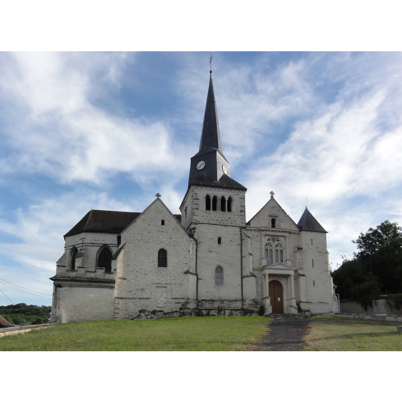
Image copyright © [in the public domain]
CC-Zero
Results: 1 records
view of church exterior
Scene Description: Source caption: "Saint-Erme-Outre-et-Ramecourt (Aisne) église de Saint-Erme"
Copyright Statement: Image copyright © [in the public domain]
Image Source: digital photograph taken 28 June 2015 by Havang(nl) [https://commons.wikimedia.org/wiki/File:Saint-Erme-Outre-et-Ramecourt_(Aisne)_église_de_Saint-Erme_(01).JPG] [accessed 1 June 2016]
Copyright Instructions: CC-Zero
INFORMATION
Font ID: 18957ERM
Object Type: Baptismal Font1
Object Details: capital, medieval
Font Century and Period/Style: 12th century, Romanesque
Church / Chapel Name: Église paroissiale Saint-Erme de Saint-Erme-Outre-et-Ramecourt
Font Location in Church: Inside the church
Church Patron Saint(s): St. Hermes [aka Erme]
Church Notes: 11th-12thC church -- listed in Mérimée [ref.: PA00115899], which points out "Deux colonnettes romanes encastrées dans le mur de la nef".
Church Address: Grande Rue, 02820 Saint-Erme-Outre-et-Ramecourt, France -- Tel.: 03 23 22 20 21
Site Location: Aisne, Hauts-de-France, France, Europe
Directions to Site: Located off the D90, in the canton Guignicourt, ESE of Laon
Ecclesiastic Region: Diocèse de Soissons, Laon et Saint-Quentin
Historical Region: La Champagne Picarde, Picardie
Additional Comments: re-cycled font? (made from a former 12thC capital? When?) -- disappeared font? (the one from the original 11thC church jere)
Font Notes:
Click to view
Listed in Palissy [ref.: PM02001027]: "fonts baptismaux [...] Faits dans un magnifique chapiteau [...] 12e siècle".
COORDINATES
UTM: 31U 559644 5487882
Latitude & Longitude (Decimal): 49.540605, 3.824418
Latitude & Longitude (DMS): 49° 32′ 26.18″ N, 3° 49′ 27.91″ E
MEDIUM AND MEASUREMENTS
Material: stone