Pontsericourt in Tavaux-et-Pontséricourt
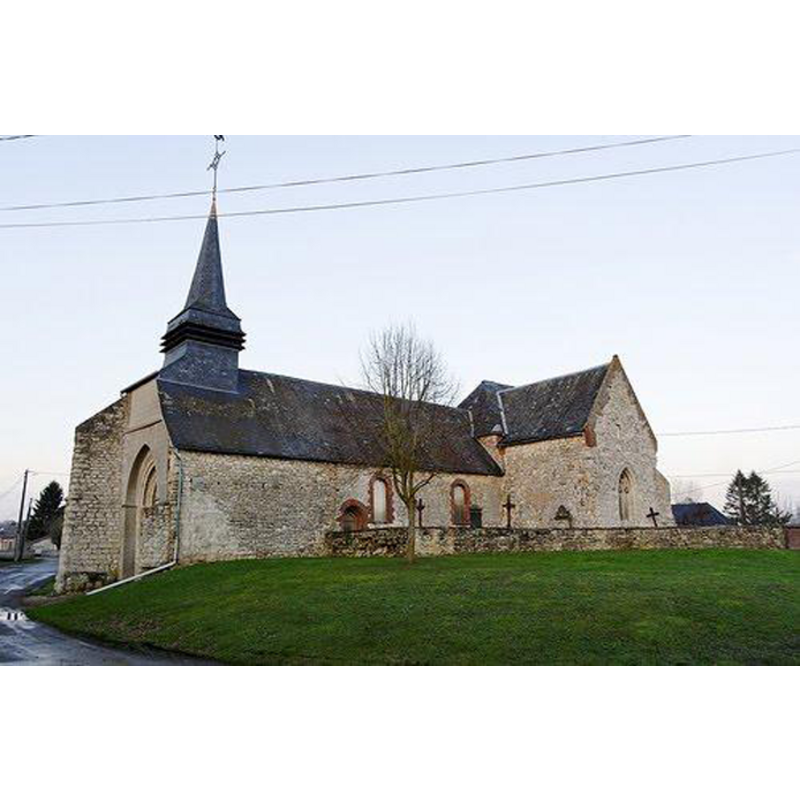
Image copyright © Wikimapia, 2013
CC-BY-SA-3.0
Results: 1 records
view of church exterior - south view
Copyright Statement: Image copyright © Wikimapia, 2013
Image Source: digital photograph in Wikimapia [http://wikimapia.org/22089728/fr/Eglise-de-Pontséricourt [accessed 4 January 2014]
Copyright Instructions: CC-BY-SA-3.0
INFORMATION
Font ID: 18953PON
Object Type: Baptismal Font1?
Font Century and Period/Style: 12th century, Medieval
Church / Chapel Name: Église Saint-Médard de Pontséricourt [actuellement désaffectée]
Font Location in Church: [disappeared]
Church Patron Saint(s): St. Medard [aka Medardus]
Church Notes: 12thC church; modified and fortified 15thC
Church Address: 02250 Tavaux-et-Pontséricourt, France
Site Location: Aisne, Hauts-de-France, France, Europe
Directions to Site: Located off the D25-D58 crossroads, in the municipality of Tavaux-et-Pontséricourt, 10 km E of Marle, between Laon (SW) and Vervins (N)
Ecclesiastic Region: Diocèse de Soissons, Laon et Saint-Quentin
Historical Region: Pays de la Serre -- Thiérache
Additional Comments: disappeared font? (the one from the medieval church here)
Font Notes:
Click to view
The second medieval church in the present municipality of Tavaux-et-Pontséricourt was apparently scheduled for demolition, as it had been much abandoned and the commune could not support two churches. A local association was formed for the "sauvegarde du Fort de Condé et des églises et monuments en péril du Sud-Picardie", and one of its actions was to save the old church at Pontséricourt [="C’est ainsi que nous avons pu sauver de la ruine et probablement de la démolition cette petite église de Pontséricourt, restaurée au fur et à mesure de nos moyens mis en œuvre."] The old wooden altar was moved to the church of Royaucourt, the old clock mechanism to the "donjon du château-fort de Ventadour en Ardèche", and the belfry was repaired in 1974. The church at Pontséricourt became a monument to the Resistance victims of 1944 [source: www.amis-st-julien-royaucourt.org/histoire_fichiers/eglise_st_julien_et_p_pottier_internet.htm [accessed 4 January 2014] -- the source does not mention the presence of a font in the old church or its whereabouts].
COORDINATES
UTM: 31U 565409 5508363
Latitude & Longitude (Decimal): 49.724206, 3.907509
Latitude & Longitude (DMS): 49° 43′ 27.14″ N, 3° 54′ 27.03″ E