Carlucet / Saint-Crépin-et-Carlucet
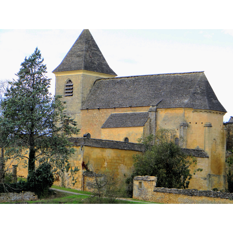
Image copyright © MOSSOT, 2012
CC-BY-SA-3.0
Results: 2 records
view of church exterior - southeast view
Scene Description: the churchyard is included in the view
Copyright Statement: Image copyright © MOSSOT, 2012
Image Source: digital photograph taken 31 October 2012 by Mossot [http://commons.wikimedia.org/wiki/File:Saint-Crépin-et-Carlucet_-_Église_Sainte-Anne_de_Carlucet_-04.JPG] [accessed 1 January 2013]
Copyright Instructions: CC-BY-SA-3.0
view of church interior - nave - looking east
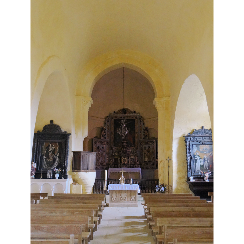
Copyright Statement: Image copyright © MOSSOT, 2012
Image Source: digital photograph taken 31 October 2012 by Mossot [http://commons.wikimedia.org/wiki/File:Saint-Crépin-et-Carlucet_-_Église_Sainte-Anne_de_Carlucet_-05.JPG] [accessed 1 January 2013]
Copyright Instructions: CC-BY-SA-3.0
INFORMATION
Font ID: 18939CAR
Object Type: Baptismal Font1
Font Century and Period/Style: 12th century, Romanesque
Church / Chapel Name: Église paroissiale Sainte-Marie et Sainte-Anne de Carlucet [ancien prieuré de Carlucet]
Font Location in Church: Inside the church, to the left of the entranceway
Church Patron Saint(s): St. Mary the Virgin & St. Anne
Church Notes: 12thC church of an ancient priory here; listed in Mérimée [ref.: PA00082815]
Church Address: 24590 Saint-Crépin-et-Carlucet, France
Site Location: Dordogne, Nouvelle-Aquitaine, France, Europe
Directions to Site: Located in the commune of Saint-Crépin-et-Carlucet, S of Saint-Geniès, W of Salignac-Eyvigues
Ecclesiastic Region: Diocèse de Périgueux et Sarlat
Historical Region: Le Salignacois -- Périgord Noir
Font Notes:
Click to view
Listed in Palissy [ref.: PM24000312] as 12th-century.
COORDINATES
Latitude & Longitude (Decimal): 44.960667, 1.298444
Latitude & Longitude (DMS): 44° 57′ 38.4″ N, 1° 17′ 54.4″ E
MEDIUM AND MEASUREMENTS
Material: stone