Saint-Romain-la-Virvee / Saint-Romain-la-Virvée
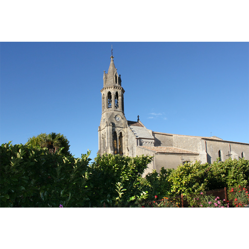
Image copyright © Frédéric Esplandiu, 2007
CC-BY-SA-3.0
Results: 2 records
view of church exterior - south view
Copyright Statement: Image copyright © Frédéric Esplandiu, 2007
Image Source: digital photograph taken 20 May 2007 by Frédéric Esplandiu [http://commons.wikimedia.org/wiki/File:Saint_Romain_La_Virvee_Eglise.jpg] [accessed 31 December 2013]
Copyright Instructions: CC-BY-SA-3.0
view of church exterior in context - north view
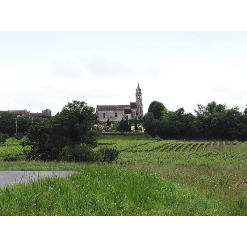
Copyright Statement: Image copyright © Frédéric Esplandiu, 2007
Image Source: digital photograph taken 20 May 2007 by Frédéric Esplandiu [http://commons.wikimedia.org/wiki/File:Eglise_de_Saint_Romain_La_Virvee.jpg] [accessed 31 December 2013]
Copyright Instructions: CC-BY-SA-3.0
INFORMATION
Font ID: 18928VIR
Object Type: Baptismal Font1?
Font Century and Period/Style: Medieval
Church / Chapel Name: Église Saint-Romain de Saint-Romain La Virvée
Font Location in Church: [disappeared]
Church Patron Saint(s): St. Romanus
Church Notes: church fortified in the 14thC; original date not available
Church Address: 33240 Saint-Romain-la-Virvée, France -- Tél. : +33 5 57 58 21 65 | +33 5 57 84 86 86
Site Location: Gironde, Nouvelle-Aquitaine, France, Europe
Directions to Site: Located on the D737 [aka Route de Cadillac], NNE of Bordeaux, NW of Libourne
Ecclesiastic Region: Diocèse de Bordeaux
Additional Comments: disappeared font? (the one from the pre-14thC church here)
Font Notes:
Click to view
The present 18th-century marble font is listed in Palissy [ref.: PM33000765]. [NB: we have no information on the font of the medieval church here].
COORDINATES
UTM: 30T 705097 4982458
Latitude & Longitude (Decimal): 44.965948, -0.399292
Latitude & Longitude (DMS): 44° 57′ 57.41″ N, 0° 23′ 57.45″ W