Merens les Vals / Mérens-d'En-Haut / Mérens-les-Vals
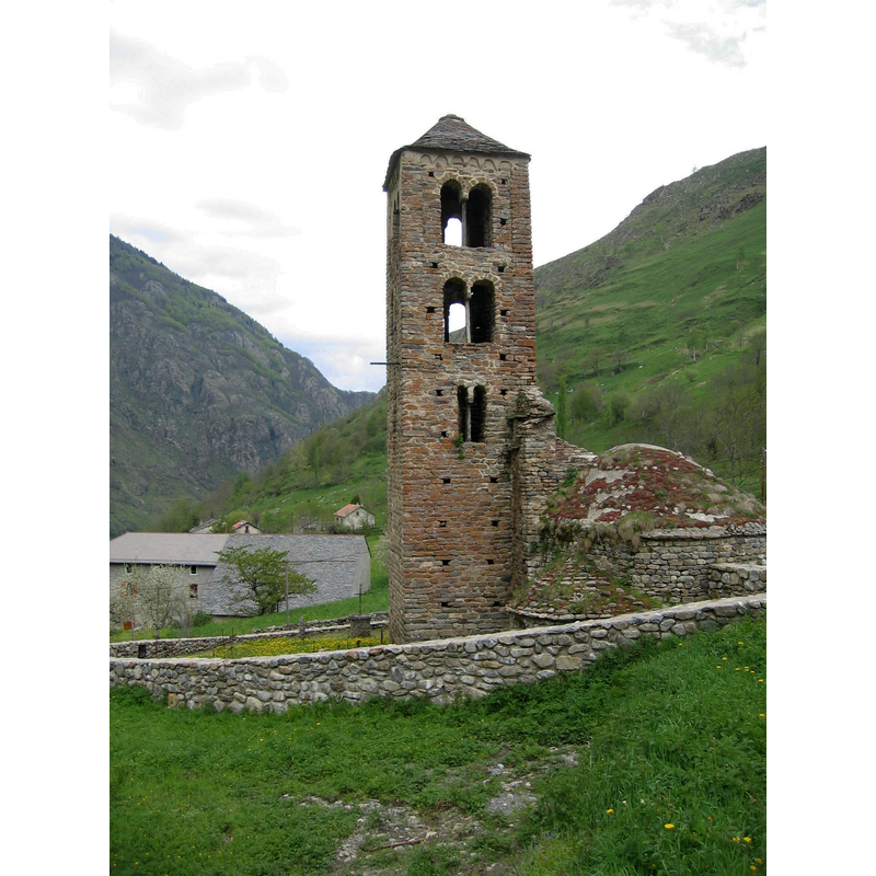
Image copyright © MDanis, 2004
CC-BY-SA-3.0
Results: 2 records
view of church exterior
Copyright Statement: Image copyright © MDanis, 2004
Image Source: digital photograph taken 21 May 2004 by MDanis [http://commons.wikimedia.org/wiki/File:Merens_les_vals_-_Eglise_d'en_haut.jpg?uselang=fr] [accessed 24 November 2013]
Copyright Instructions: CC-BY-SA-3.0
view of church exterior
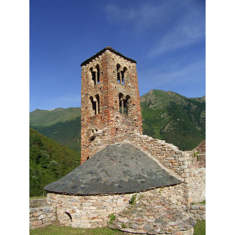
Scene Description: the ruins of the old church
Copyright Statement: Image copyright © Pethrus, 2009
Image Source: digital photograph taken 11 July 2009 by Pethrus [http://commons.wikimedia.org/wiki/File:France_Mérens-les-Vals_Church.jpg] [accessed 24 November 2013]
Copyright Instructions: CC-BY-SA-3.0
INFORMATION
Font ID: 18805MER
Object Type: Baptismal Font1?
Font Century and Period/Style: 10th - 11th century, Pre-Romanesque? / Romanesque?
Church / Chapel Name: Église Saint-Pierre de Mérens-les-Vals [in ruins]
Font Location in Church: [disappeared]
Church Patron Saint(s): St. Peter
Church Notes: original church here documented as belonging to the faraway Abbaye de Lagrasse in the 10thC -- church listed in Mérimée [ref.: PA00093822]: "Ancienne église [...] 11e siècle [...] L'ancien village fut incendié en 1811 par des bandes espagnoles (miquelets du général Villamil) pénétrant en territoire français à la suite du retrait d'Espagne des troupes françaises. De la vieille église ne subsistent que des ruines et le clocher. [...] Le clocher flanquant la nef au sud-ouest peut être daté de la première moitié du 11e siècle. Il appartient au type des clochers catalans et andorrans et représente le seul spécimen de cette famille au nord-ouest du col de Puymorens."
Church Address: 09110 Mérens-les-Vals, France
Site Location: Ariège, Occitanie, France, Europe
Directions to Site: Located off the D322, E of the N20/E9. E of Encamp (Andorre), in the canton and 5-6 km S of Ax-les-Thermes
Additional Comments: disappeared font? (the one from the 10th-11thC church here)
Font Notes:
Click to view
[NB: we have no information on the font from the 11th-century chruch here].
COORDINATES
UTM: 31T 405228 4723240
Latitude & Longitude (Decimal): 42.655789, 1.843716
Latitude & Longitude (DMS): 42° 39′ 20.84″ N, 1° 50′ 37.38″ E