Ruch
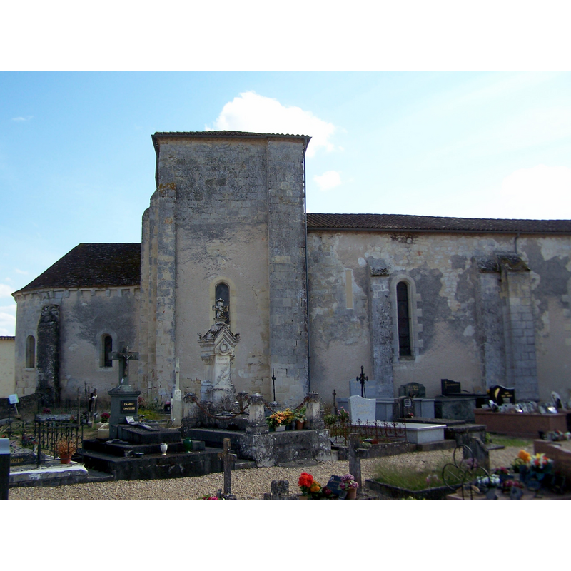
Image copyright © Henry Salomé, 2012
CC-BY-SA-3.0
Results: 4 records
view of church exterior - northeast end
Copyright Statement: Image copyright © Henry Salomé, 2012
Image Source: digital photograph taken 13 August 2012 by [http://commons.wikimedia.org/wiki/File:Ruch_Église_Saint-Étienne_03.jpg] [accessed 23 November 2013]
Copyright Instructions: CC-BY-SA-3.0
view of church exterior - northwest end
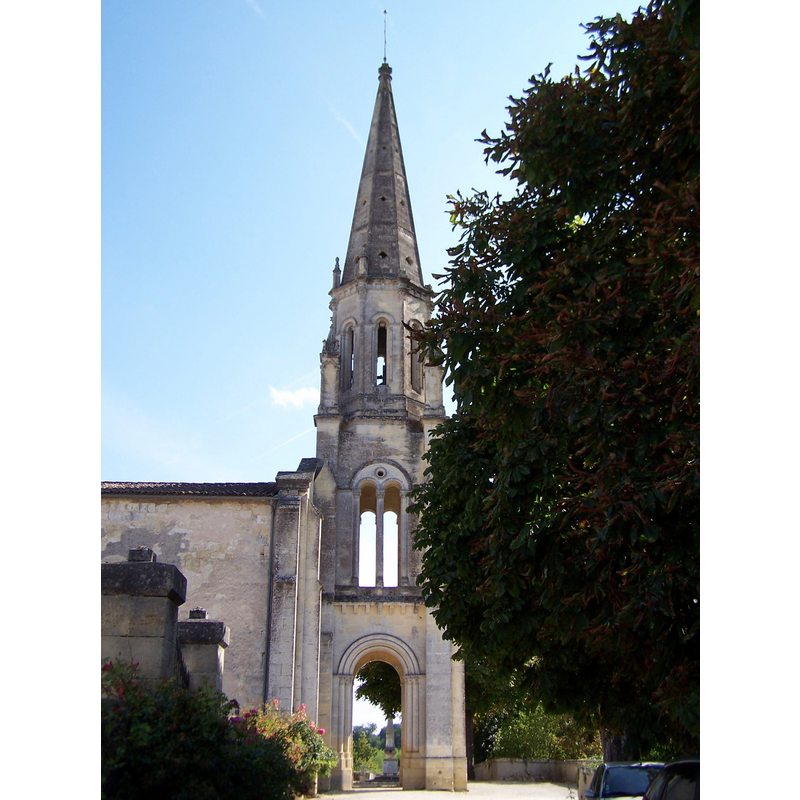
Copyright Statement: Image copyright © Henry Salomé, 2012
Image Source: digital photograph taken 13 August 2012 by [http://commons.wikimedia.org/wiki/File:Ruch_Église_Saint-Étienne_01.jpg] [accessed 23 November 2013]
Copyright Instructions: CC-BY-SA-3.0
view of church interior - nave - looking east
![is the object by the north side of the chancel arch a font? [cf. FontNotes]](/static-50478a99ec6f36a15d6234548c59f63da52304e5/compressed/1131123017_compressed.png)
Scene Description: is the object by the north side of the chancel arch a font? [cf. FontNotes]
Copyright Statement: Image copyright © Henry Salomé, 2012
Image Source: digital photograph taken 13 August 2012 by [http://commons.wikimedia.org/wiki/File:Ruch_Église_Saint-Étienne_04.jpg] [accessed 23 November 2013]
Copyright Instructions: CC-BY-SA-3.0
view of font and cover
![[cf. FontNotes]](/static-50478a99ec6f36a15d6234548c59f63da52304e5/others/permission_not_available.jpg)
Scene Description: [cf. FontNotes]
Copyright Statement: Image copyright © Direction régionale des affaires culturelles Aquitaine, 2013
Image Source: drawing by Lucien de Maleville (1881-1964) in Les dessins de Lucien de Maleville et le patrimoine monumental de la Gironde, DRAC Aquitaine [http://aquitaine.culture.gouv.fr/dossiers-thematiques/] [accessed 24 November 2013]
Copyright Instructions: PERMISSION NOT AVAILABLE -- IMAGE NOT FOR PUBLIC USE
INFORMATION
Font ID: 18797RUC
Object Type: Baptismal Font1
Font Century and Period/Style: 11th - 12th century, Romanesque
Church / Chapel Name: Église Saint-Étienne de Ruch
Font Location in Church: [disappeared?]
Church Patron Saint(s): St. Stephen
Church Notes: original Romanesque church of the 11thC; donated to the Benedictine Abbey of La Sauve Majeure in 1112; re-built in the 12thC [posted information inside the church]
Church Address: 1 Rue Théo Turrier, 33350 Ruch, France -- Tel.: +33 5 57 40 54 36
Site Location: Gironde, Nouvelle-Aquitaine, France, Europe
Directions to Site: Located off the D128-D232 crossroads, 3-4 km S of Bossugan, about 25 km SE of Libourne
Ecclesiastic Region: Diocèse de Bordeaux
Historical Region: Entre-deux-Mers
Additional Comments: disappeared font? (the one from the late-11thC church here)
Font Notes:
Click to view
A font of this church is illustrated in a drawing by Lucien de Maleville (1881-1964) in Les dessins de Lucien de Maleville et le patrimoine monumental de la Gironde, DRAC Aquitaine [http://aquitaine.culture.gouv.fr/dossiers-thematiques/] [accessed 24 November 2013]; the font appears to be a late one, and consists of a round or oval basin decorated with a ribbed pattern covering the sides and underbowl, raised on a moulded baluster pedestal base, a splaying lower base and a small quadrangular plinth. [NB: we have no information on the font from the medieval church here].
COORDINATES
UTM: 30T 734219 4962220
Latitude & Longitude (Decimal): 44.775004, -0.039825
Latitude & Longitude (DMS): 44° 46′ 30.01″ N, 0° 2′ 23.37″ W