Stapleford nr. Melton Mowbray / Stapeford
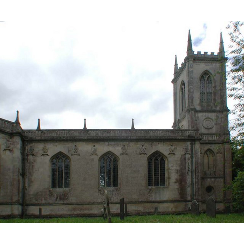
Image copyright © John Salmon, 2002
CC-BY-SA-3.0
Results: 3 records
view of church exterior - northwest end
Copyright Statement: Image copyright © John Salmon, 2002
Image Source: digital photograph taken 15 June 2002 by John Salmon [www.geograph.org.uk/photo/385040] [accessed 28 October 2013]
Copyright Instructions: CC-BY-SA-3.0
view of church interior - nave - looking west
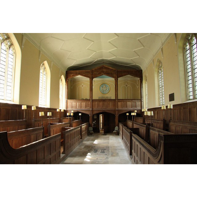
Copyright Statement: Image copyright © Richard Croft, 2009
Image Source: digital photograph taken 25 April 2009 by Richard Croft [www.geograph.org.uk/photo/1278102] [accessed 28 October 2013]
Copyright Instructions: CC-BY-SA-3.0
view of church interior - nave - looking east
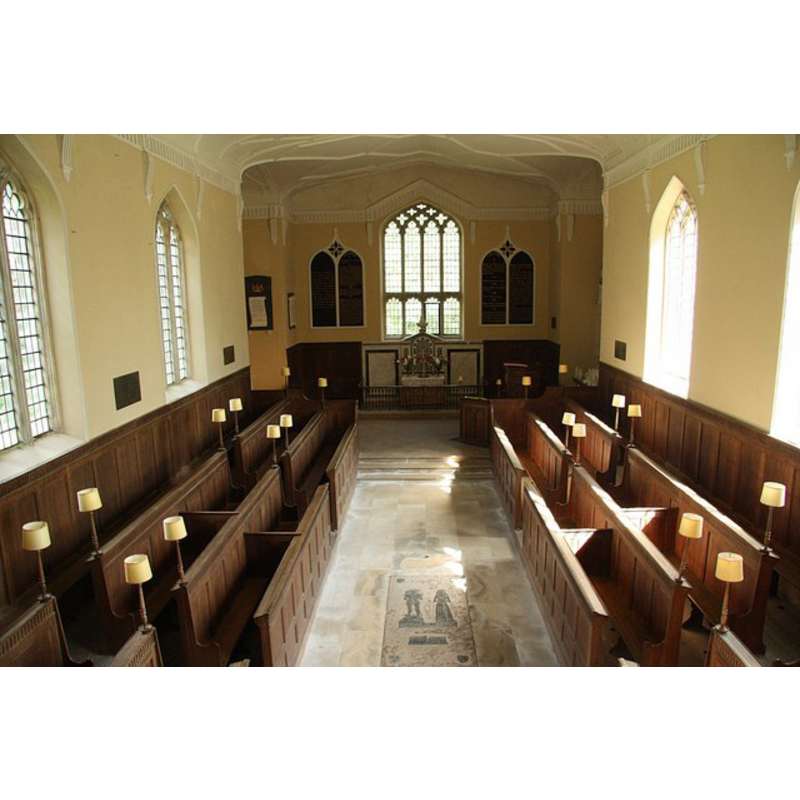
Copyright Statement: Image copyright © Richard Croft, 2009
Image Source: digital photograph taken 25 April 2009 by Richard Croft [www.geograph.org.uk/photo/1278094] [accessed 28 October 2013]
Copyright Instructions: CC-BY-SA-3.0
INFORMATION
Font ID: 18730STA
Object Type: Baptismal Font1?
Font Century and Period/Style: Medieval
Church / Chapel Name: Parish Church of St. Mary Magdalene [redundant]
Church Patron Saint(s): St. Mary Magdalene
Church Notes: present church replaced a medieval church here
Church Address: Stapleford Park, Stapleford, Leics. LE14 2SF
Site Location: Leicestershire, East Midlands, England, United Kingdom
Directions to Site: Located off (S) the B676, 7 km E of Melton Mowbray, in the grounds of Stapleford Park
Ecclesiastic Region: Diocese of Leicester
Historical Region: Hundred of Framland [in Domesday]
Additional Comments: disappeared font? (the one from the medieval church here)
Font Notes:
Click to view
There is an entry for this Stapleford [variant spelling] in the Domesday survey [http://opendomesday.org/place/SK8018/stapleford/] [accessed 26 August 2015], but it mentions neither cleric nor church in it. The present font consists of a marble basin raised on a wooden base. [NB: we have no information on the font of the demolished medieval church here].
COORDINATES
UTM: 30U 648554 5847322
Latitude & Longitude (Decimal): 52.7553, -0.7987
Latitude & Longitude (DMS): 52° 45′ 19.08″ N, 0° 47′ 55.32″ W
REFERENCES
- Byrne, Matthew, Beautiful churches saved by The Churches Conservation Trust, London: Frances Lincoln, 2013, p. 121-128