Hempton nr. Fakenham / Hamatuna
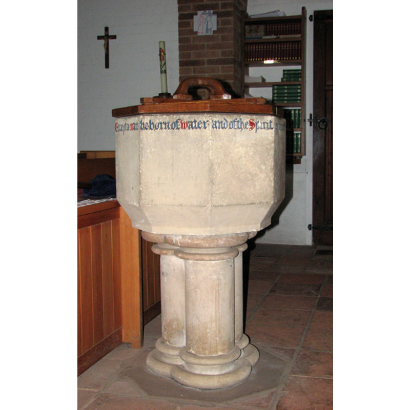
Image copyright © Evelyn Simak, 2010
CC-BY-SA-3.0
Results: 3 records
view of font and cover
Scene Description: the 19thC font and cover
Copyright Statement: Image copyright © Evelyn Simak, 2010
Image Source: digital photograph taken 24 August 2010 by Evelyn Simak [www.geograph.org.uk/photo/2031753] [accessed 29 July 2013]
Copyright Instructions: CC-BY-SA-3.0
view of church exterior - north view
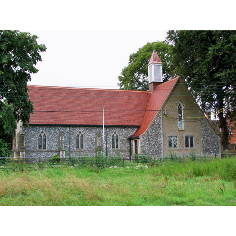
Copyright Statement: Image copyright © Evelyn Simak, 2010
Image Source: digital photograph taken 24 August 2010 by Evelyn Simak [www.geograph.org.uk/photo/2031717] [accessed 29 July 2013]
Copyright Instructions: CC-BY-SA-3.0 Attribution 3.0 Unported
view of church interior - nave - looking west
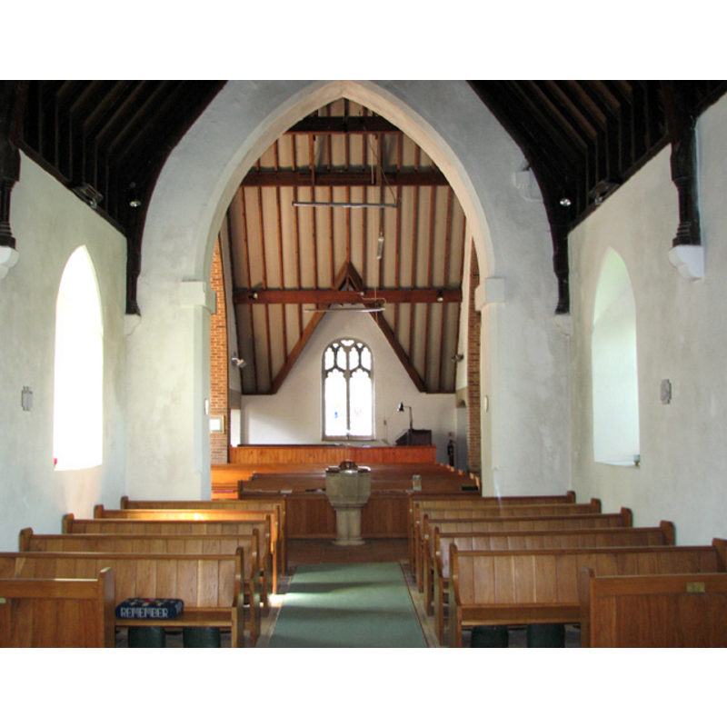
Scene Description: the 19thC font at the west end
Copyright Statement: Image copyright © Evelyn Simak, 2010
Image Source: digital photograph taken 24 August 2010 by Evelyn Simak [www.geograph.org.uk/photo/2031751] [accessed 29 July 2013]
Copyright Instructions: CC-BY-SA-3.0
INFORMATION
Font ID: 18568HEM
Object Type: Baptismal Font1
Font Century and Period/Style: 11th century, Pre-Conquest? / Norman
Church / Chapel Name: Parish Church of Saint Andrew [disappeared]
Church Patron Saint(s): St. Andrew
Church Notes: he present church at Hempton dates from 1855
Church Address: [the present church of the Holy Trinity is at: The Green, Hempton, Norfolk, NR21 7LG]
Site Location: Norfolk, East Anglia, England, United Kingdom
Directions to Site: Located 1 km S of Fakenham [the old church is said to have been located about 1 km NE of the present church]
Ecclesiastic Region: Diocese of Norwich
Historical Region: Hundreds of Gallow and Brothercross
Additional Comments: disappeared font? (the one from the medieval church here)
Font Notes:
Click to view
Blomefield (1805-1810) notes from among the holdings of this village at Domesday: "here was also a church endowed with one acre [...] A Church, dedicated to St. Andrew, was standing in the 12th of Henry VII. [i.e., 1497] and was a rectory appropriated to the priory, and granted with the manor; it was valued at 5 marks, and paid Peter-pence 5d. ob." [NB: the 'priory' referred to above was Hempton Priory, "first an hospital, and afterwards a priory, founded by Roger de St. Martin, in the reign of King Henry I. for black canons of the order of St. Austin, and dedicated to St. Stephen", according to Blomefield (ibid.). The priory appears to have ceased at the Dissolution, granted "by King Henry VIII. to Sir William Farmer, and the Lady Catherine his wife, and Thomas Farmer, his nephew". White's Directory of 1883 reported "no vestiges of the priory now remain".] White's Directory of 1845 notes: "The [church] (St. Andrew,) [...] was taken down several centuries ago, and the curacy annexed to Fakenham." [NB: we have no information on the font from the medieval church here].
COORDINATES
UTM: 31U 354365 5855063
Latitude & Longitude (Decimal): 52.825632, 0.838484
Latitude & Longitude (DMS): 52° 49′ 32.27″ N, 0° 50′ 18.54″ E
REFERENCES
- Blomefield, Francis, An essay towards a topographical history of Norfolk, 1805-1810, vol. 7: 99-102 / [www.british-history.ac.uk/report.aspx?compid=78311] [accessed 29 July 2013]
- White, William, History, gazetteer, and directory of Norfolk and the city and County of the city of Norwich [...], Sheffield: Robert Leader, 1845, [cited in www.origins.org.uk/genuki/NFK/places/h/hempton/white1845.shtml [accessed 29 July 2013]]