Alethorpe / Alatorp / Althorp
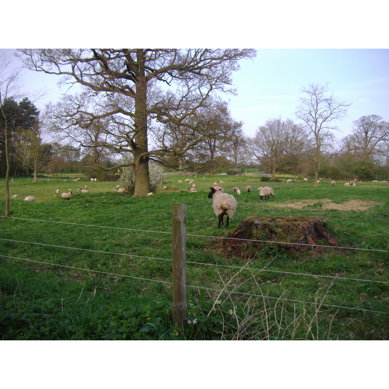
Image copyright © Stavros1, 2009
CC-BY-SA-3.0
Results: 1 records
view of church exterior in context
Scene Description: the site of the former medieval village of Alethorpe; the tree is supposed to indicate the precise site of the disappeared church
Copyright Statement: Image copyright © Stavros1, 2009
Image Source: digital photograph taken 14 April 2009 by Stavros1 [http://en.wikipedia.org/wiki/File:Alethorpe_14th_April_2009.JPG] [accessed 29 April 2013]
Copyright Instructions: CC-BY-SA-3.0
INFORMATION
Font ID: 18566ALE
Object Type: Baptismal Font1?
Church / Chapel Name: Church [Chapel] of All Saints [disappeared]
Church Patron Saint(s): All Saints
Church Notes: church in disuse already in the 16th century; nothing remains of it today
Church Address: [cf. Directions to site]
Site Location: Norfolk, East Anglia, England, United Kingdom
Directions to Site: [Lost medieval village. It was located in the parish of Little Snoring, 3 km ENE of Fakenham]
Ecclesiastic Region: [Diocese of Norwich]
Historical Region: Hundreds of Gallow and Brothercross
Additional Comments: disappeared font? (church abandoned in the 16thC)
Font Notes:
Click to view
The 1769 edition of Blomefield (vol. 3: 787) mentions several 'beruits' of Fakenham at the time of the Domesday survey of 1086, among them Alatorp, Torpaland, Stanhou, Stabyrda, Creik, Barsham, Snaring, Katestuna and Norton. In his later edition of 1805-1810 Blomefield writes: "ALTHORP. Was at the survey a beruite belonging to the King's manor of Fakenham, as it did in King Herold's time, [...] This is now a small hamlet lying about two miles to the north-east of Fakenham, and continues part of that lordship at this time. The inhabitants pay both great and small tithes to the rector of Fakenham, and come to that church; formerly I find there was a chapel dedicated to All-Saints, belonging to it, standing in 1419, and was charged separately for tenths at 20s. In Edward the First's reign, here were 30 houses with their families, and they baptised and buried here, and here was the gild of All-Saints." Local information has the church abandoned by the end of the 16th century, the building being used as a barn by the early-17th century. There are no visible remains of that church now, but, as noted in Blomefield above, there were baptisms carried out in it and there must have been a font, of which we have no information.
COORDINATES
UTM: 31U 358140 5856998
REFERENCES
- Blomefield, Francis, An essay towards a topographical history of Norfolk, 1805-1810, vol. 7: 97 / [www.british-history.ac.uk/report.aspx?compid=78309] [accessed 29 July 2013]