Torrebesses
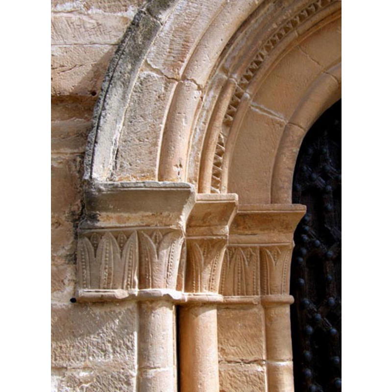
Image copyright © Fotoarxiu.sarratetorres, 2009
CC-BY-SA-3.0
Results: 2 records
view of church exterior - west portal - detail
Copyright Statement: Image copyright © Fotoarxiu.sarratetorres, 2009
Image Source: digital photograph taken 19 December 2009 Fotoarxiu.sarratetorres [http://commons.wikimedia.org/wiki/File:Esgl%C3%A9sia_de_Sant_Salvador._s.XII_Torrebesses,_el_Segri%C3%A0,_Catalunya._%28A-SiT-090763%29.jpg] [accessed 20 May 2013]
Copyright Instructions: CC-BY-SA-3.0
view of church exterior - southwest view
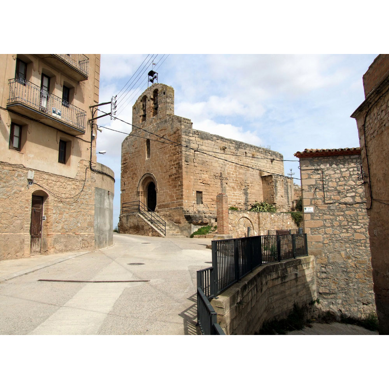
Copyright Statement: Image copyright © Fotoarxiu.sarratetorres, 2009
Image Source: digital photograph taken 19 December 2009 Fotoarxiu.sarratetorres [http://commons.wikimedia.org/wiki/File:Esgl%C3%A9sia_de_Sant_Salvador._s.XII_Torrebesses,_el_Segri%C3%A0,_Catalunya._%28A-SiT-090757%29.jpg] [accessed 20 May 2013]
Copyright Instructions: CC-BY-SA-3.0
INFORMATION
Font ID: 18470TOR
Object Type: Baptismal Font1?
Font Century and Period/Style: 12th century, Romanesque
Church / Chapel Name: Església parroquial de Sant Salvador, Torrebesses
Font Location in Church: [disappeared?]
Church Patron Saint(s): Jesus Christ
Church Notes: 12thC church
Church Address: Carrer del Forn, 7, 25176 Torrebesses, Lleida, Spain
Site Location: Lérida / Lleida, Cataluña / Catalunya, Spain, Europe
Directions to Site: Located off the LV-7004, E of the C-12, in el Segrià, about 20 km S of Lérida / Lleida capital
Ecclesiastic Region: Diócesis de Lérida
Additional Comments: disappeared font? (the one from the 12thC church here)
Font Notes:
Click to view
[NB: we have no information on the original font of this church]
COORDINATES
UTM: 31T 299017 4589026
Latitude & Longitude (Decimal): 41.427666, 0.594711
Latitude & Longitude (DMS): 41° 25′ 39.6″ N, 0° 35′ 40.96″ E