Rockland St. Andrew / Rochelunt / Rockland Toft / Rokelun/ Rokelund / Rokelunt
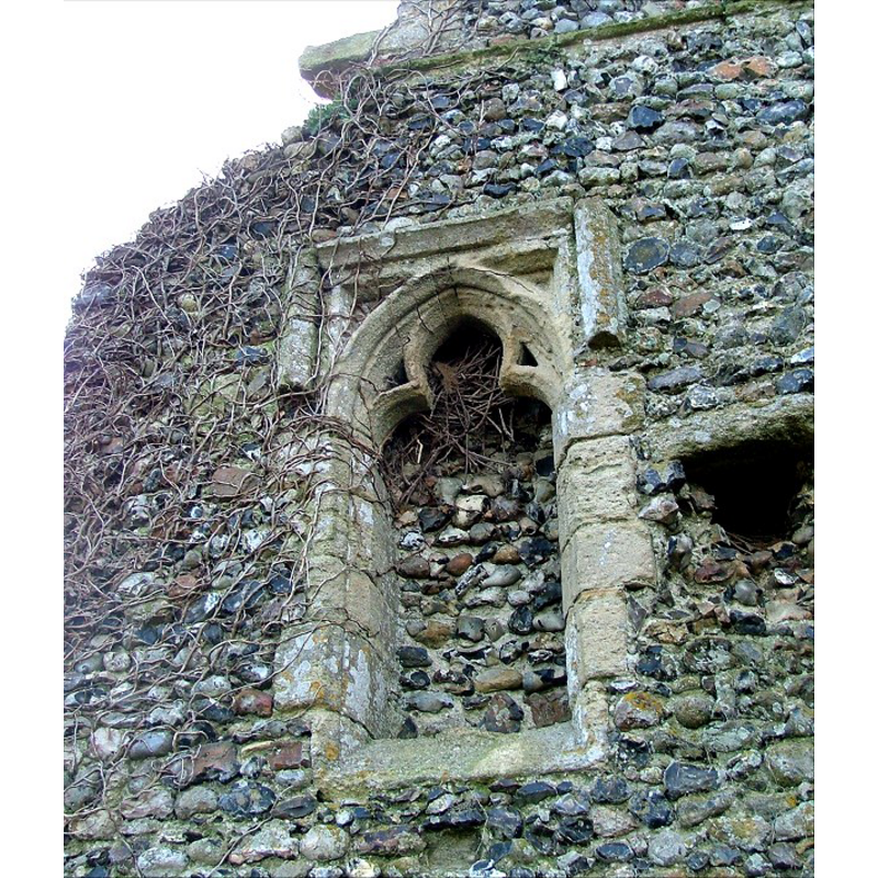
Image copyright © Simon Knott, 2006
Standing permission
Results: 4 records
view of church exterior - detail
Scene Description: the ruins of the old church
Copyright Statement: Image copyright © Simon Knott, 2006
Image Source: digital photograph taken January 2006 by Simon Knott [www.norfolkchurches.co.uk/rocklandstandrew/rocklandstandrew.htm] [accessed 28 February 2013]
Copyright Instructions: Standing permission
view of church exterior - west tower
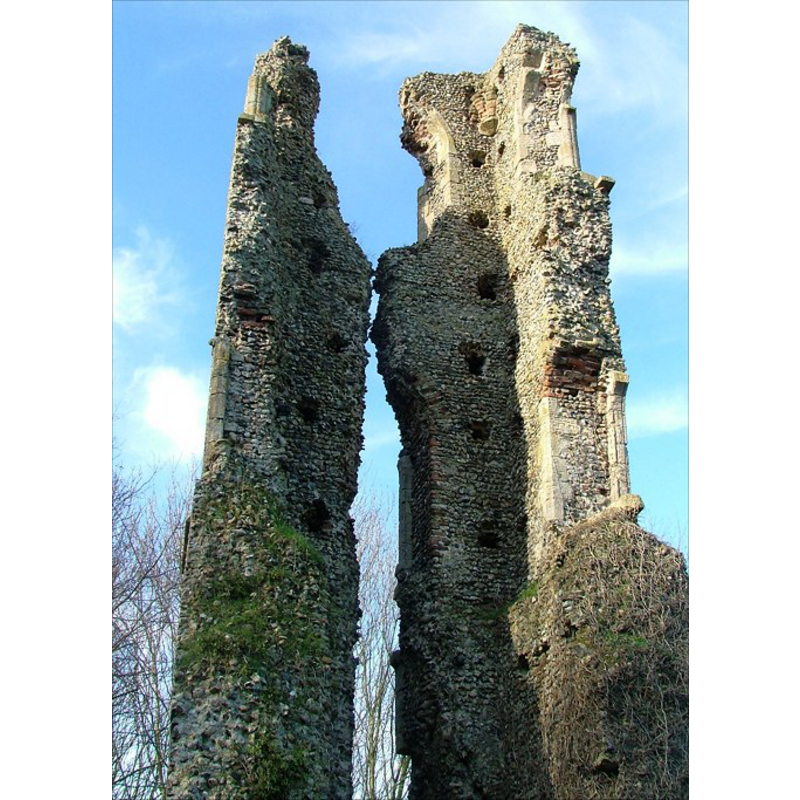
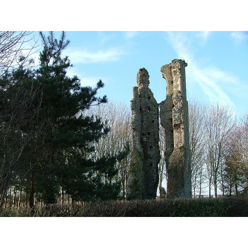
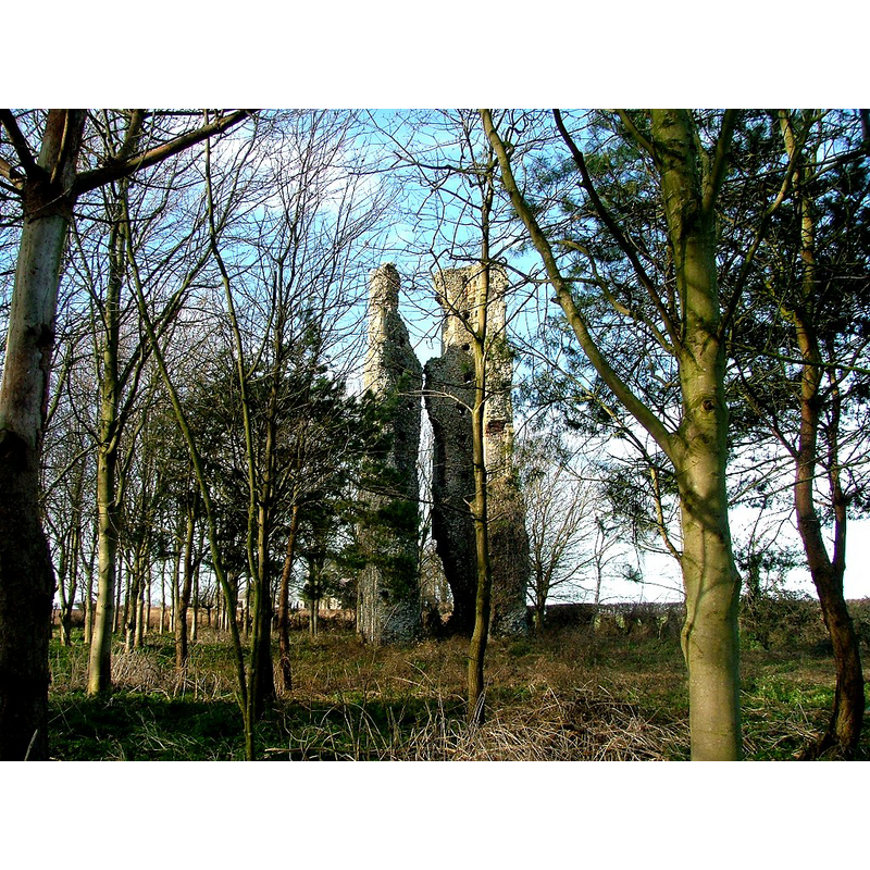
Scene Description: the ruins of the old church
Copyright Statement: Image copyright © Simon Knott, 2006
Image Source: digital photograph taken January 2006 by Simon Knott [www.norfolkchurches.co.uk/rocklandstandrew/rocklandstandrew.htm] [accessed 28 February 2013]
Copyright Instructions: Standing permission
INFORMATION
Font ID: 18324ROC
Object Type: Baptismal Font1?
Church / Chapel Name: Parish Church of St. Andrew [in ruins by 1781]
Church Wikidata: https://sv.wikipedia.org/wiki/Rockland_St_Andrew
Church Patron Saint(s): St. Andrew
Site Location: Norfolk, East Anglia, England, United Kingdom
Ecclesiastic Region: [Diocese of Norwich]
Historical Region: Hundred of Shropham
Additional Comments: disappeared font? [cf. FontNotes]
Font Notes:
Click to view
The Church of St. Andrew is noted in Armstrong (1781) and in Blomefield (1805-1810) after him, as one of three parishes in Rockland [aka Rockland Toft]: "St. Andrew's parish, is often named in evidences, about Edward the Third's time [i.e., 1327-1377], Toft, without any other addition [...] the church of St. Andrew falling into decay, and standing not above a furlong eastward from All-Saints, was suffered to dilapidate". [NB: we have no information on the whereabouts of this font].
COORDINATES
Latitude & Longitude (DMS): 52:31.4622N, 0:56.5184E
REFERENCES
- Blomefield, Francis, An essay towards a topographical history of Norfolk, 1805-1810, vol. 1: 473-482 / [www.british-history.ac.uk/report.aspx?compid=77140] [accessed 28 February 2013]