West Wretham / North Wretham / North Wrotham / Wertham / West Wrotham / Wrancham / Wrantham / Wrettingham
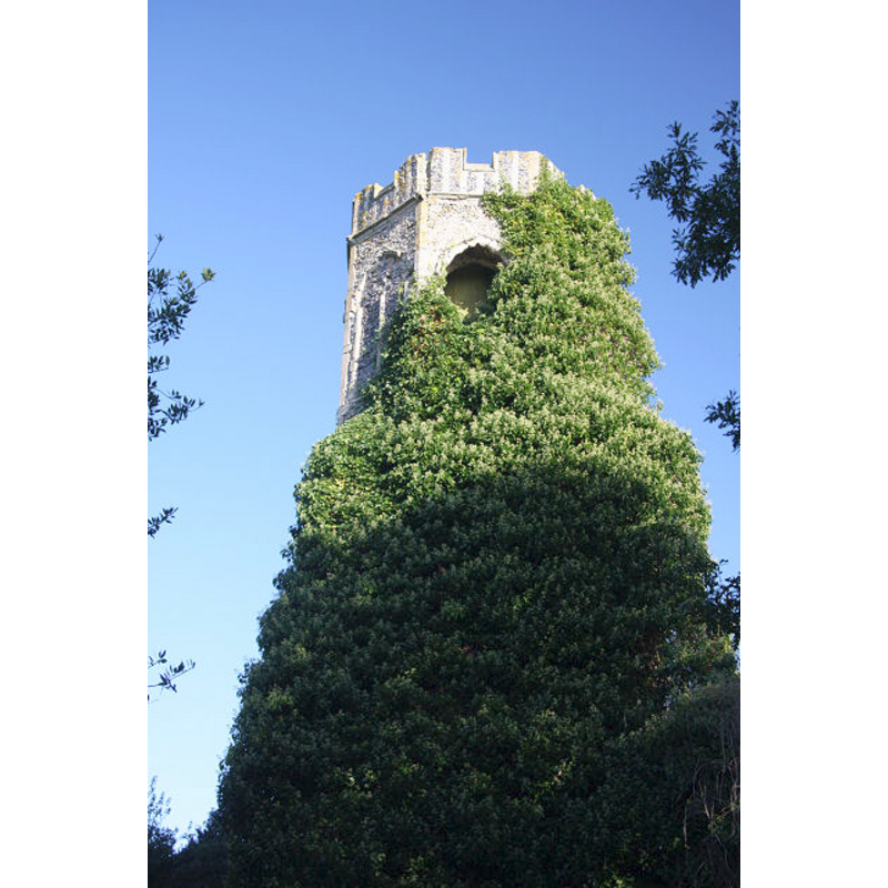
Image copyright © Bob Jones, 2008
CC-BY-SA-3.0
Results: 3 records
view of church exterior - northwest view - detail
Scene Description: the ruins of old St. Lawrence -- only the embattled upper end is visible above the vegetation that covers most of the tower
Copyright Statement: Image copyright © Bob Jones, 2008
Image Source: digital photograph taken 21 October 2008 by Bob Jones [www.geograph.org.uk/photo/1016225] [accessed 28 February 2013]
Copyright Instructions: CC-BY-SA-3.0
view of church exterior - northeast view
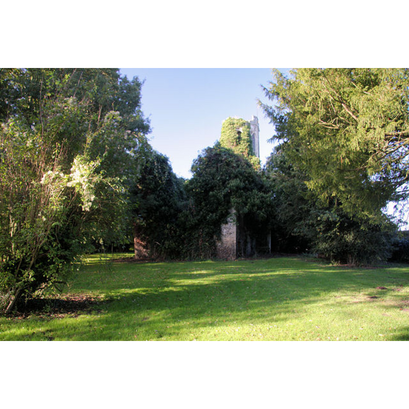
Scene Description: the ruins of old St. Lawrence
Copyright Statement: Image copyright © Bob Jones, 2008
Image Source: digital photograph taken 21 October 2008 by Bob Jones [www.geograph.org.uk/photo/1016223] [accessed 28 February 2013]
Copyright Instructions: CC-BY-SA-3.0
view of church interior - nave - looking west
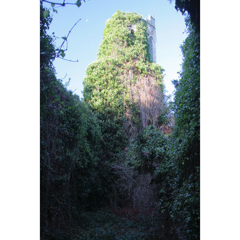
Scene Description: the ruins of old St. Lawrence -- the image shows the remains of the nave, looking west towards the tower
Copyright Statement: Image copyright © Bob Jones, 2008
Image Source: digital photograph taken 21 October 2008 by Bob Jones [www.geograph.org.uk/photo/1016226] [accessed 28 February 2013]
Copyright Instructions: CC-BY-SA-3.0
INFORMATION
Font ID: 18322WRE
Object Type: Baptismal Font1?
Font Century and Period/Style: Medieval
Church / Chapel Name: Parish Church of St. Lawrence [in ruins]
Church Wikidata: https://www.wikidata.org/wiki/Q17905084
Church Patron Saint(s): St. Lawrence [aka Laurence]
Church Notes: the church is said to have been abandoned in 1794
Church Address: Wretham, Norfolk IP24 1RH
Site Location: Norfolk, East Anglia, England, United Kingdom
Directions to Site: Located 3 km W of Wretham [East Wretham], 10 km NE of Thetford
Ecclesiastic Region: Diocese of Norwich
Historical Region: Hundred of Shropham
Additional Comments: disappeared font? [cf. FontNotes]
Font Notes:
Click to view
Blomefield (1805-1810) writes: "E[ast, or Great Wrotham. I]s so called because it lies most east of the three Wrothams [...] Wretham (or Wrotham Thorp) [...], Wertham, (or West Wrotham,) [...], and Weretham (or East Wrotham) [...] The Church is dedicated to St. Lawrence [...] In 1603, there were 40 communicants, and there are now [1737] about 100 inhabitants"; the authoer (ibid.) further names the first recorded rector of this church as "William, called de Forda, (or Ford,) priest", in 1308. The ruins of this church, now declared an 'Ancient Monument' [English Heritage, County No. 92], appear to date from the 14th century. [NB: we have no information on the whereabouts of the original font here].
COORDINATES
Latitude & Longitude (Decimal): 52.487968, 0.796647
Latitude & Longitude (DMS): 52° 29′ 16.68″ N, 0° 47′ 47.93″ E