Pynham / Calcetto / Cauce / Chaucée / Chauces / de Calceto / La Chauce
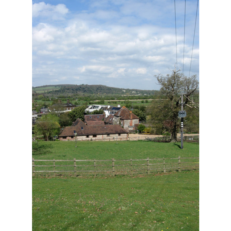
Image copyright © [in the public domain]
Released by its author into the public domain
Results: 2 records
view of church exterior in context
Scene Description: The site of the Priory
Copyright Statement: Image copyright © [in the public domain]
Image Source: digital photograph taken 19 June 2007 by JohnArmagh [http://en.wikipedia.org/wiki/File:Calcetto_%28Pynham%29_Priory.jpg] [accessed 4 February 2013]
Copyright Instructions: Released by its author into the public domain
view of church exterior in context
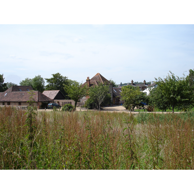
Scene Description: The context of the farm and Priory tower at present
Copyright Statement: Image copyright © Simon Carey, 2009
Image Source: digital photograph taken 13 April 2009 by Simon Carey [www.geograph.org.uk/photo/1254498] [accessed 4 February 2013]
Copyright Instructions: CC-BY-SA-3.0
INFORMATION
Font ID: 18304PYN
Object Type: Baptismal Font1?
Font Date: ca. 1150?
Font Century and Period/Style: 12th century (mid?), Late Norman
Church / Chapel Name: Priory Church of Saint Bartholemew [disappeared]
Church Patron Saint(s): St. Bartholomew
Church Notes: founded ca.1150 by Augustinian Canons Regular
Site Location: West Sussex, South East, England, United Kingdom
Directions to Site: Located near Lyminster and Arundel
Ecclesiastic Region: Diocese of Chichester
Additional Comments: disappeared font? (the one from the original mid-12thC church here)
Font Notes:
Click to view
The Victoria County History (Sussex, vol. 2, 1973) reports a priory dedicated to St. Bartholomew founded "sometime before 1151 [...]The land on which the hospital, or Augustinian priory, was built, was called Pynham, but the priory was more usually known as 'the Causeway' (de Calceto, la Chaucée). It was originally under the patronage of St. Bartholomew, but an attempt was apparently made to add St. Thomas of Canterbury's title, though this latter did not long continue patron [...] in 1525, the priory was suppressed, [...] and in the following year the bishop, dean, and chapter of Chichester quitclaimed the site of the monastery to the authorities of Cardinal's College, Oxford". At present all that remains of old priory is a part of a farmhouse [NB: we have no information on the font from the medieval church here].
COORDINATES
UTM: 30U 672769 5635733
Latitude & Longitude (Decimal): 50.847159, -0.54598
Latitude & Longitude (DMS): 50° 50′ 49.77″ N, 0° 32′ 45.53″ W
REFERENCES
- Victoria County History [online], University of London, 1993-. URL: https://www.british-history.ac.uk.