Ashington / Ashington nr. Storrington
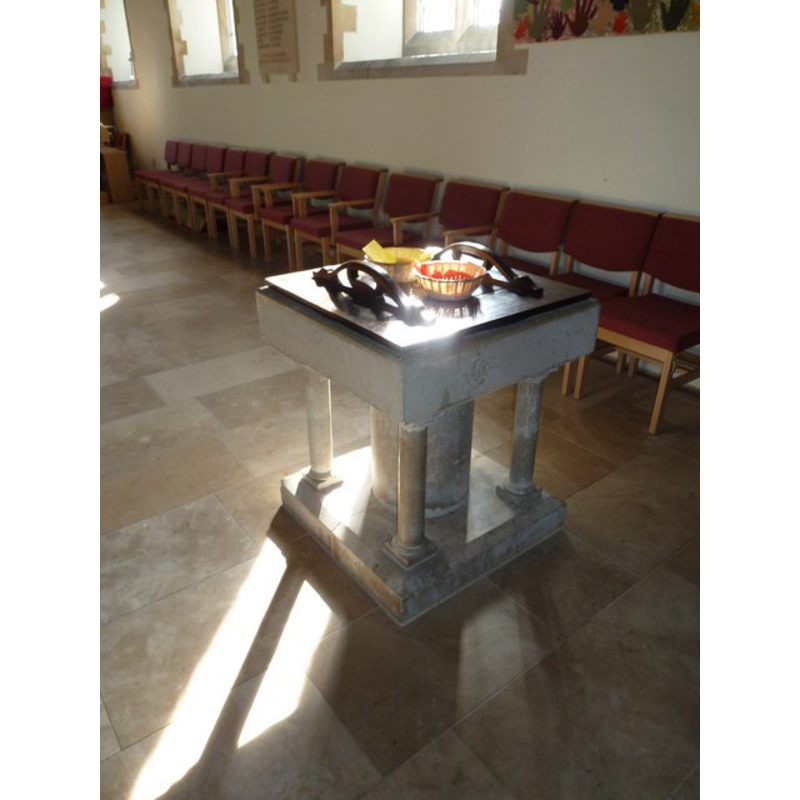
Image copyright © Basher Eyre, 2011
CC-BY-SA-3.0
Results: 2 records
view of font and cover
Scene Description: the modern font [cf. FontNotes]
Copyright Statement: Image copyright © Basher Eyre, 2011
Image Source: digital photograph taken 12 March 2011 by Basher Eyre [www.geograph.org.uk/photo/2343061] [accessed 25 October 2012]
Copyright Instructions: CC-BY-SA-3.0
view of church exterior - southeast view
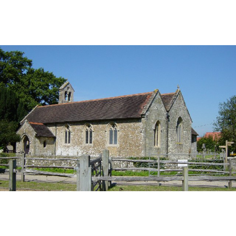
Copyright Statement: Image copyright © Janine Forbes, 2005
Image Source: digital photograph taken 31 August 2005 by Janine Forbes [www.geograph.org.uk/photo/46919] [accessed 25 October 2012]
Copyright Instructions: CC-BY-SA-3.0
INFORMATION
Font ID: 18207ASH
Object Type: Baptismal Font1
Font Century and Period/Style: Medieval
Church / Chapel Name: Parish Church of St. Peter and St. Paul
Font Location in Church: [cf. FontNotes]
Church Patron Saint(s): St. Peter & St. Paul
Church Address: Church Lane, Ashington, West Sussex, RH20 3BX
Site Location: West Sussex, South East, England, United Kingdom
Directions to Site: Located on the A24, 5 km NE of Storrington
Ecclesiastic Region: Diocese of Chichester
Historical Region: Hundred of West Grinstead -- Rape of Bramber -- Sussex
Additional Comments: disappeared font? or moved to Partridge Green? [cf. FontNotes]
Font Notes:
Click to view
The Victoria County History (Sussex, vol. 6, pt. 2, 1986) notes: "Ashington originated as a chapelry of Washington: the church was called a chapel c. 1190 [...] A rectory was established c. 1190 [...] In 1871-2 it was rebuilt to the present plan on a much larger scale [...]." The VCH (ibid.) further notes that there is "a reset holy water stoup of the 14th or 15th century.: and that the "medieval font was removed before c. 1950 to St. Michael's church, Partridge Green". [cf. Index entry for Partridge Green for the possible location of the missing font here].
COORDINATES
UTM: 30U 683044 5645431
Latitude & Longitude (Decimal): 50.931425, -0.395054
Latitude & Longitude (DMS): 50° 55′ 53.13″ N, 0° 23′ 42.19″ W
REFERENCES
- Victoria County History [online], University of London, 1993-. URL: https://www.british-history.ac.uk.