Fishbourne / New Fishbourne
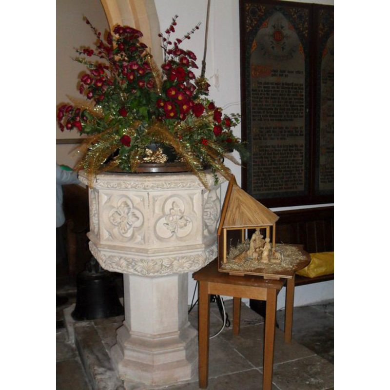
Image copyright © Basher Eyre, 2009
CC-BY-SA-3.0
Results: 2 records
view of font and cover
Scene Description: the modern font [cf. FontNotes]
Copyright Statement: Image copyright © Basher Eyre, 2009
Image Source: digital photograph taken 28 December 2009 by Basher Eyre [www.geograph.org.uk/photo/1636830] [accessed 18 September 2012]
Copyright Instructions: CC-BY-SA-3.0
view of church exterior
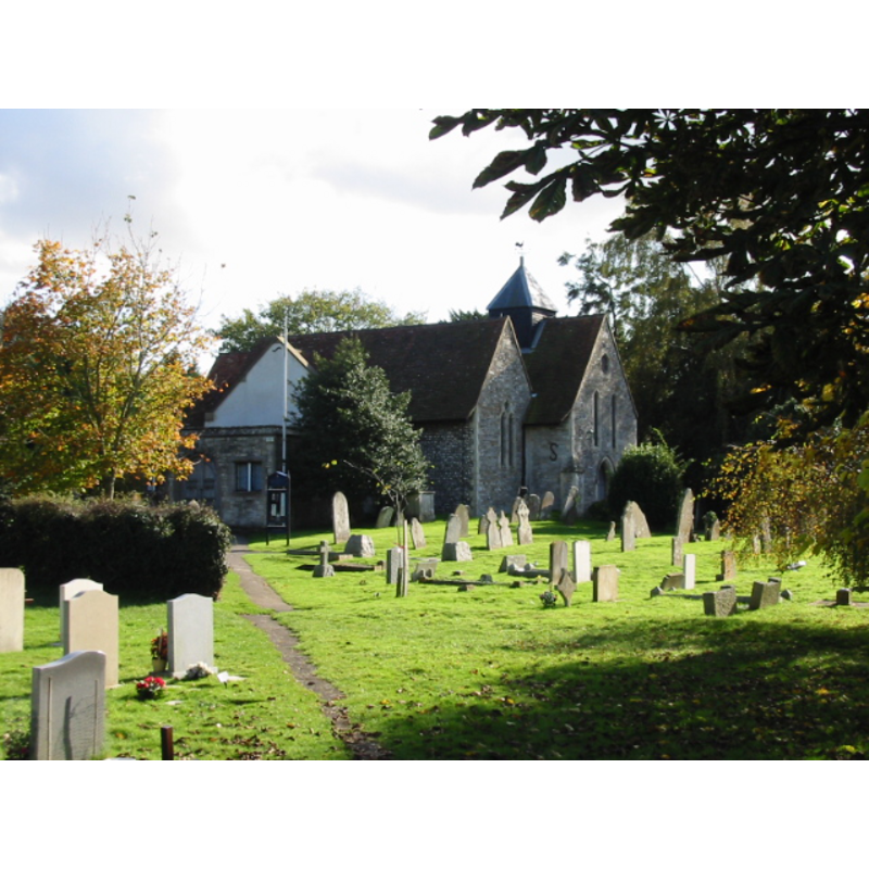
Copyright Statement: Image copyright © Nick Smith, 2008
Image Source: digital photograph taken October 2008 by Nick Smith [www.geograph.org.uk/photo/1021640] [accessed 18 September 2012]
Copyright Instructions: CC-BY-SA-3.0
INFORMATION
Font ID: 18184FIS
Object Type: Baptismal Font1
Font Century and Period/Style: 13th century, Early English
Church / Chapel Name: Parish Church of St. Peter and St. Mary
Church Patron Saint(s): St. Mary the Virgin & St. Peter
Church Address: Fishbourne Rd West, Fishbourne, West Sussex, PO19 3XT
Site Location: West Sussex, South East, England, United Kingdom
Directions to Site: Located 3 km W of Chichester
Ecclesiastic Region: Diocese of Chichester
Historical Region: Hundred of Box and Stockbridge -- Rape of Chichester -- Sussex
Additional Comments: disappeared font? (the one from the 13th-century church here)
Font Notes:
Click to view
Harrison (1920) notes the Early English chancel that survived the 1850 restoration; no mention of a font. The Victoria County History (Sussex, vol. 4, 1953) notes: "The church was valued at £4 6s. 8d. in 1291 [...] In the late 18th century [...] it consisted of chancel, nave, and bell-cote only; the chancel was certainly, the nave probably, of the 13th century [...] The font and other fittings are modern". The British Listed Buildings database entry for this church [www.britishlistedbuildings.co.uk/en-299796-church-of-st-peter-and-st-mary-fishbourn] [accessed 18 September 2012] notes: "C.1847 font with an octagonal stone bowl with carved decoration on an octagonal stem." [NB: we have no information on the font from the 13th-century church here].
COORDINATES
UTM: 30U 654505 5633611
Latitude & Longitude (Decimal): 50.83356, -0.805851
Latitude & Longitude (DMS): 50° 50′ 0.82″ N, 0° 48′ 21.07″ W
REFERENCES
- Victoria County History [online], University of London, 1993-. URL: https://www.british-history.ac.uk.
- Harrison, Frederick, Notes on Sussex churches, Hove: Combridges, 1920, p. 111