Donnington
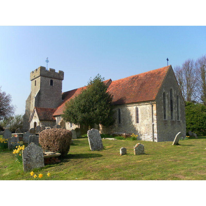
Image copyright © The Voice of Hassocks, 2012
CC-BY-SA-3.0
Results: 1 records
view of church exterior - southeast view
Copyright Statement: Image copyright © The Voice of Hassocks, 2012
Image Source: digital photograph taken 24 March 2012 by The Voice of Hassocks [http://en.wikipedia.org/wiki/File:St_George%27s_Church,_Donnington_%28NHLE_Code_1231126%29.JPG] [accessed 18 September 2012]
Copyright Instructions: CC-BY-SA-3.0
INFORMATION
Font ID: 18182DON
Object Type: Baptismal Font1
Font Century and Period/Style: 13th century, Early English
Church / Chapel Name: Parish Church of St. George
Font Location in Church: [destroyed in 1939]
Church Patron Saint(s): St. George
Church Address: Selsey Rd/Pelleys Lane, Donnington, West Sussex, PO20 7PN
Site Location: West Sussex, South East, England, United Kingdom
Directions to Site: Located on the Chichester-Selsey road, 3 km from Chichester
Ecclesiastic Region: Diocese of Winchester
Historical Region: Hundred of Box and Stockbridge -- Rape of Chichester -- Sussex
Additional Comments: destroyed font: (the one from the earlier church here) -- disappeared font? (the one from the ca.966 church here?)
Font Notes:
Click to view
No font mentioned is in Harrison (1920), who reports the 1847 restoration of the Early English church here. The Victoria County History (Sussex, vol. 4, 1953) notes: "The church is mentioned in the charter of A.D. 966 [...] The chancel, nave, and aisles were rebuilt [...] in the 13th century, the north chapel added at some unknown date, but completely rebuilt in the 19th; the tower was added in the 16th, the porch is modern. In 1939 a fire seriously damaged the nave and aisles. [...] The present font replaces that existing before the fire which was of the usual 12th-century form with square basin carried on four slender columns and one thick one." The British Listed Buildings database entry for this church [www.britishlistedbuildings.co.uk/en-300779-the-parish-church-of-st-george-donningto] [accessed 18 September 2012] reports a modern font: "The octagonal stone font with wooden font cover is by Frederick Etchells".
COORDINATES
UTM: 30U 655556 5631374
Latitude & Longitude (Decimal): 50.813182, -0.791892
Latitude & Longitude (DMS): 50° 48′ 47.45″ N, 0° 47′ 30.81″ W
MEDIUM AND MEASUREMENTS
Material: stone
Font Shape: square, mounted
Basin Exterior Shape: square
REFERENCES
- Victoria County History [online], University of London, 1993-. URL: https://www.british-history.ac.uk.
- Harrison, Frederick, Notes on Sussex churches, Hove: Combridges, 1920, p. 103