Oxford No. 29 / Oxeneford
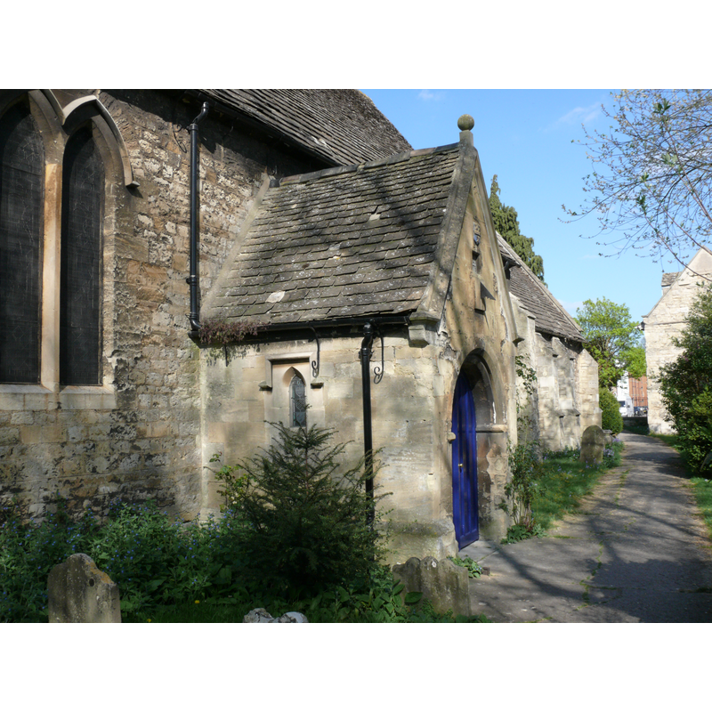
Image copyright © Andrew Gray, 2007
CC-BY-SA-3.0
Results: 1 records
view of church exterior - south porch
Copyright Statement: Image copyright © Andrew Gray, 2007
Image Source: digital photograph taken 18 April 2007 by Andrew Gray [http://en.wikipedia.org/wiki/File:St_Thomas_the_Martyr_-_south_wall.JPG] [accessed 20 June 2012]
Copyright Instructions: CC-BY-SA-3.0
INFORMATION
Font ID: 18079OXF
Object Type: Baptismal Font1?
Font Century and Period/Style: 12th century, Late Norman
Church / Chapel Name: Parish Church of St. Thomas the Martyr
Church Patron Saint(s): St. Thomas of Canterbury [aka St. Thomas à Becket]
Church Address: Becket Street, Oxford, Oxfordshire, OX1 1JL
Site Location: Oxfordshire, South East, England, United Kingdom
Directions to Site: Located between Becket St. and St. Thomas St., near Oxford railway station, in Osney
Ecclesiastic Region: Diocese of Oxford
Historical Region: Hundred of Headington
Additional Comments: disappeared font? (the one from the 12thC church here)
Font Notes:
Click to view
There are thirteen entries for Oxford [variant spelling] in the Domesday survey [http://opendomesday.org/place/SP5106/oxford/] [accessed 10 November 2016]; two of them mentions a church in each. The Victoria County History (Oxford, vol. 4, 1979) notes: "Between 1189 and 1191 Bishop Hugh of Lincoln authorized the canons to build a chapel in front of their gates for their servants, guests and parishioners. That chapel was probably St. Thomas's [...] The church of St. Thomas the Martyr [...] contains three heavily restored late-12th-century windows, and a Norman chancel arch was destroyed in 1825. [...] St. Thomas's remained a chapel of Oseney abbey throughout the Middle Ages. [...] As late as 1872 the district was described as a 'parish or parochial chapelry', but in 1948 it was stated to be an ancient parish." [NB: we have no information on the font from the medieval church here].
COORDINATES
UTM: 30U 619521 5734836
Latitude & Longitude (Decimal): 51.751662, -1.268504
Latitude & Longitude (DMS): 51° 45′ 5.98″ N, 1° 16′ 6.61″ W
REFERENCES
- Victoria County History [online], University of London, 1993-. URL: https://www.british-history.ac.uk.