Oxford No. 24 / Oxeneford
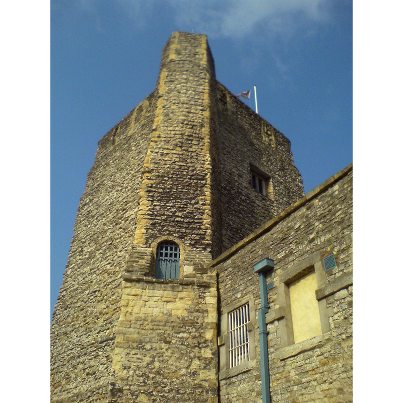
Image copyright © [in the public domain]
Released by its author into the public domain
Results: 1 records
view of building exterior - castle
Scene Description: [cf. FontNotes]
Copyright Statement: Image copyright © [in the public domain]
Image Source: digital photograph taken 1 April 2007 [http://en.wikipedia.org/wiki/File:Oxford_Castle.JPG] [accessed 19 June 2012]
Copyright Instructions: Released by its author into the public domain
INFORMATION
Font ID: 18074OXF
Object Type: Baptismal Font1?
Font Century and Period/Style: 11th century (late?), Pre-Conquest? / Norman
Church / Chapel Name: Parish Church of St. George's In the Castle [disappeared]
Church Patron Saint(s): St. George
Church Address: [the disappeared church was part of the Castle]
Site Location: Oxfordshire, South East, England, United Kingdom
Directions to Site: [the disappeared church was part of the Castle]
Ecclesiastic Region: [Diocese of Oxford]
Historical Region: Hundred of Headington
Additional Comments: disappeared font? (from the disappeared 11thC parish church in the Castle)
Font Notes:
Click to view
There are thirteen entries for Oxford [variant spelling] in the Domesday survey [http://opendomesday.org/place/SP5106/oxford/] [accessed 10 November 2016]; two of them mentions a church in each. The Victoria County History (Oxford, vol. 4, 1979) notes: "The church was founded or refounded as a college of secular canons in 1074, granted to Oseney abbey in 1149, and passed to Christ Church after the Dissolution. [...] It was a parish church [...] Its parochial status and its site, apparently by the Anglo-Saxon west gate in an area of the town settled by the late 10th century, [...] suggest that St. George's existed before the castle was built" [i.e., 1071-1073, although there may have been an earlier bailey castle in its place] [...] by 1611 [...] the church was disused".
COORDINATES
UTM: 30U 619936 5734862
Latitude & Longitude (Decimal): 51.7518, -1.26248
Latitude & Longitude (DMS): 51° 45′ 6.48″ N, 1° 15′ 44.93″ W
REFERENCES
- Victoria County History [online], University of London, 1993-. URL: https://www.british-history.ac.uk.