St. Clement's in Oxford
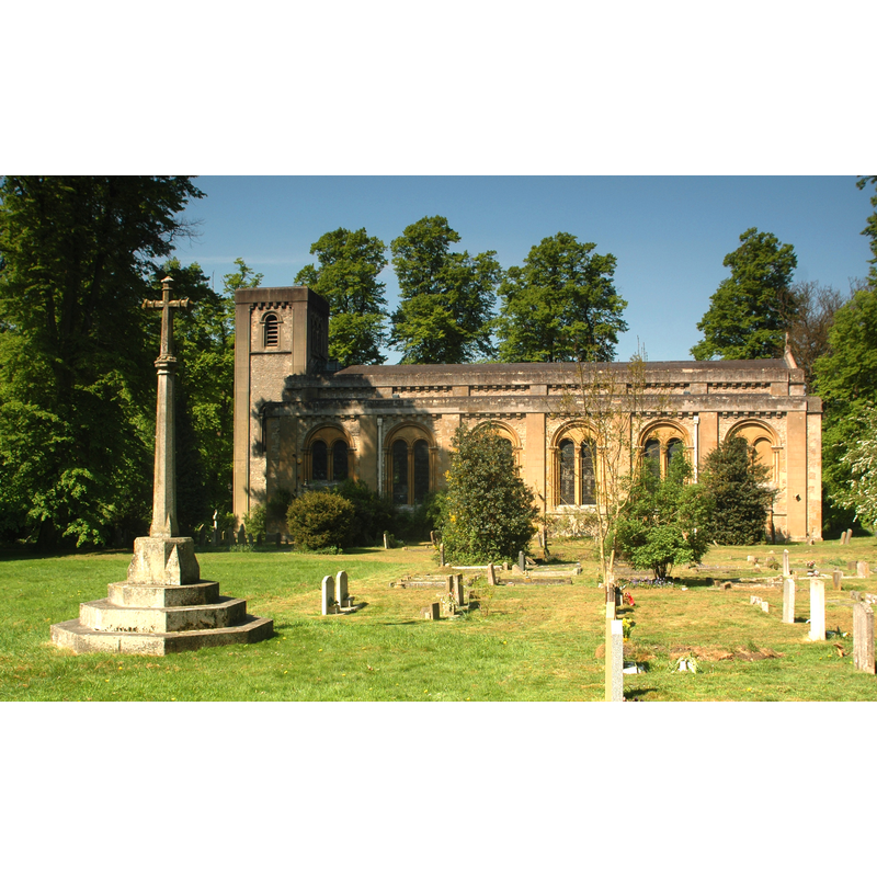
Image copyright © Motacilla, 2011
CC-BY-SA-3.0
Results: 1 records
view of church exterior - south view
Scene Description: the 19th-century replacement church [cf. FontNotes]
Copyright Statement: Image copyright © Motacilla, 2011
Image Source: digital photograph taken 23 April 2011 by Motacilla [http://en.wikipedia.org/wiki/File:Oxford_StClements_ParishChurch_east.JPG] [accessed 13 June 2012]
Copyright Instructions: CC-BY-SA-3.0
INFORMATION
Font ID: 18064CLE
Object Type: Baptismal Font1?
Font Century and Period/Style: 12th century, Medieval
Church / Chapel Name: Old Parish Church of St. Clement [demolished in 1829]
Church Patron Saint(s): St. Clement
Church Address: [cf. FontNotes]
Site Location: Oxfordshire, South East, England, United Kingdom
Directions to Site: Located now in Oxford, outside the East Gate [annexed to the city in 1836]
Ecclesiastic Region: [Diocese of Oxford]
Historical Region: Hundred of Bullingdon
Additional Comments: disappeared font? (the one from the 12thC church/chapel here)
Font Notes:
Click to view
No entry for St Clement's found in the Domesday survey. The Victoria County History (Oxford, vol. 5, 1957) notes: "St. Clement's was one of the royal chapels given to St. Frideswide's by Henry I in 1122. This is the earliest mention of it, but there is nothing to suggest that the chapel was new at that date. [...] Little is known of the history of the old parish church which stood on the Plain, where the Headington and Cowley roads diverge. [...] and it is probable that most of the building destroyed in 1829 dates from this time [1323]; some of the stonework demolished was, however, thought to belong to an older 12thcentury church. [...] The new church was built [...] consecrated on 14 June 1828." [NB: there is no mention of font in the VCH entry for this parish. [NB: we have no information on the medieval font here].
COORDINATES
UTM: 30U 621632 5735062
Latitude & Longitude (Decimal): 51.753233, -1.237856
Latitude & Longitude (DMS): 51° 45′ 11.64″ N, 1° 14′ 16.28″ W
REFERENCES
- Victoria County History [online], University of London, 1993-. URL: https://www.british-history.ac.uk.