Holwell nr. Sherborne
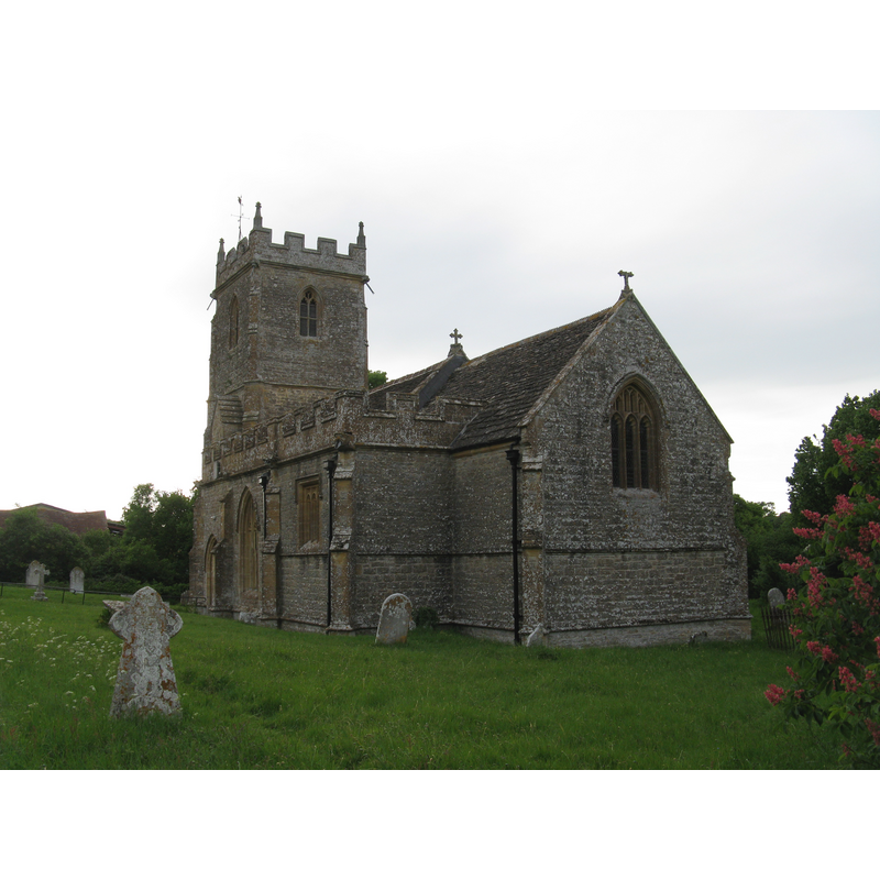
Image copyright © Michael Day, 2011
CC-BY-SA-3.0
Results: 2 records
view of church exterior - southeast view
Copyright Statement: Image copyright © Michael Day, 2011
Image Source: digital photograph taken 14 May 2011 by Michael Day [www.flickr.com/photos/13706945@N00/6964967692/] [accessed 9 May 2012]
Copyright Instructions: CC-BY-SA-3.0
view of church exterior - south view
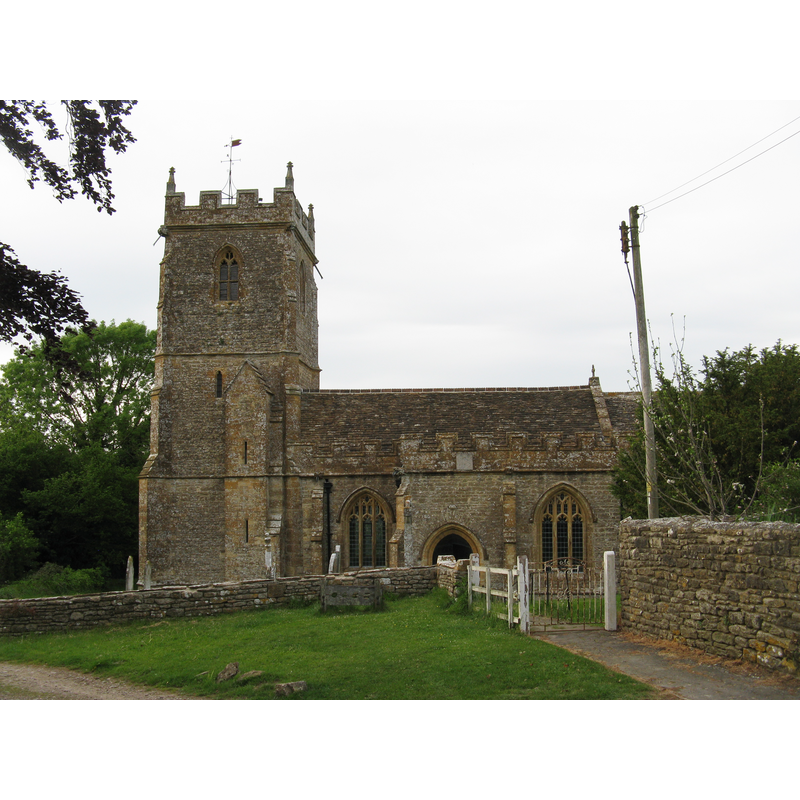
Copyright Statement: Image copyright © Michael Day, 2011
Image Source: digital photograph taken 14 May 2011 by Michael Day [www.flickr.com/photos/13706945@N00/6964966576/] [accessed 9 May 2012]
Copyright Instructions: CC-BY-SA-3.0
INFORMATION
Font ID: 18032HOL
Object Type: Baptismal Font1?
Font Century and Period/Style: 15th century, Perpendicular
Church / Chapel Name: Parish Church of St. Lawrence [aka St. Laurence's]
Church Patron Saint(s): St. Lawrence [aka Laurence]
Church Notes: Church originally from the 15th century; restored in 1885; registers start in 1653 (OPC Dorset [www.opcdorset.org/HolwellFiles/Holwell.htm] [accessed 9 May 2012] -- no info on its font]
Church Address: Holwell, Dorset, DT9 5LB
Site Location: Dorset, South West, England, United Kingdom
Directions to Site: Located 10 km SE of Sherborne
Historical Region: formerly in Somerset -- Hundred of Horethorne
Additional Comments: disappeared font? (the one from the original 15thC church here?)
Font Notes:
Click to view
Church originally from the 15th century; restored in 1885; registers start in 1653 (source: OPC Dorset [www.opcdorset.org/HolwellFiles/Holwell.htm] and the British Listed Buildings database [www.britishlistedbuildings.co.uk/en-104854-church-of-st-lawrence-holwell], both [accessed 9 May 2012] -- no mention of a font in either source].
COORDINATES
UTM: 30U 540165 5639543
Latitude & Longitude (Decimal): 50.906142, -2.428746
Latitude & Longitude (DMS): 50° 54′ 22.11″ N, 2° 25′ 43.49″ W