Offord Cluny / Opeforde / Upford / Upeford
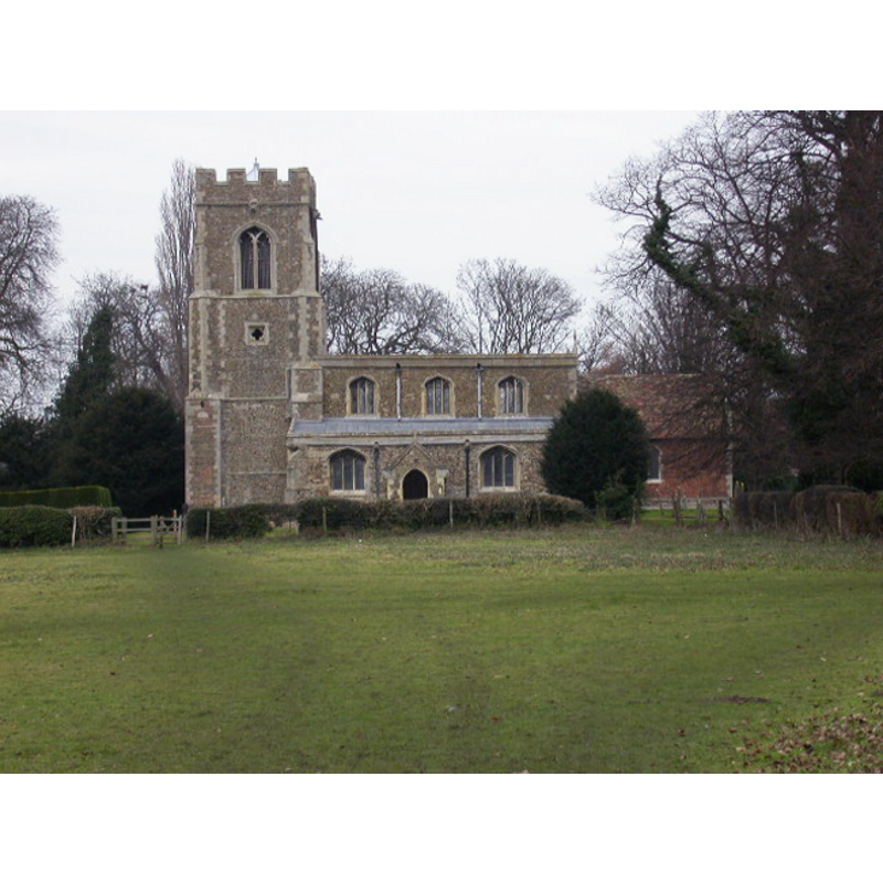
Image copyright © Kokai, 2006
CC-BY-SA-3.0
Results: 1 records
view of church exterior - south view
Copyright Statement: Image copyright © Kokai, 2006
Image Source: digital photograph taken 5 February 2006 by Kokai [www.geograph.org.uk/photo/118156] [accessed 25 April 2012]
Copyright Instructions: CC-BY-SA-3.0
INFORMATION
Font ID: 18015OFF
Object Type: Baptismal Font1
Church / Chapel Name: Parish Church of All Saints
Font Location in Church: Reported in the churchyard ca. 1932 and ca. 2000
Church Patron Saint(s): All Saints
Church Address: High Street, Offord Cluny, Cambridgeshire, PE19 5RR
Site Location: Cambridgeshire, East, England, United Kingdom
Directions to Site: Located S of Godmanchester, 3 km from Buckden, equidistant between Huntingdon and St. Neots
Ecclesiastic Region: Diocese of Ely
Historical Region: formerly Huntingdonshire -- Hundred of Toseland
Additional Comments: broken damaged font / disused font (the older basin in the churchyard) -- emailed the Parish contact requesting photo of old basin(25 April 2012)/mt
Font Notes:
Click to view
The Victoria County History (Huntingdon, vol. 2, 1932) notes: "The church is mentioned in the Domesday Survey (1086), but the earliest parts now standing are the nave arcades, that on the south c. 1260 and on the north c. 1280; and the aisle walls built at the same time probably remain, although much altered. [...] The octagonal font is modern (1853), but in the churchyard is a much-broken ancient octagonal bowl." The Parish web site [http://sites.google.com/site/allsaintsofford/guided-tour] [accessed 25 April 2012] informs: "The FONT is late Victorian; a more ancient one is now in the churchyard." [NB: we have not been able to locate any further information on the churchyard font].
COORDINATES
UTM: 30U 689939 5796620
Latitude & Longitude (Decimal): 52.287062, -0.215124
Latitude & Longitude (DMS): 52° 17′ 13.42″ N, 0° 12′ 54.44″ W
MEDIUM AND MEASUREMENTS
Material: stone
REFERENCES
- Victoria County History [online], University of London, 1993-. URL: https://www.british-history.ac.uk.