Somersham nr. Huntindon No. 1 / Sumeresham / Summersham / Summersum / Sumresham
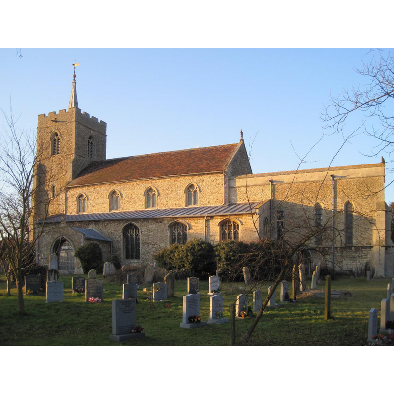
Image copyright © Smb1001, 2010
CC-BY-SA-3.0
Results: 2 records
view of church exterior - south view
Copyright Statement: Image copyright © Smb1001, 2010
Image Source: digital photograph taken 20 February 2010 by Smb1001 [http://en.wikipedia.org/wiki/File:St_John_the_Baptist,_Somersham,_Cambridgeshire.jpg] [accessed 23 April 2012]
Copyright Instructions: CC-BY-SA-3.0
view of church interior - nave - looking west
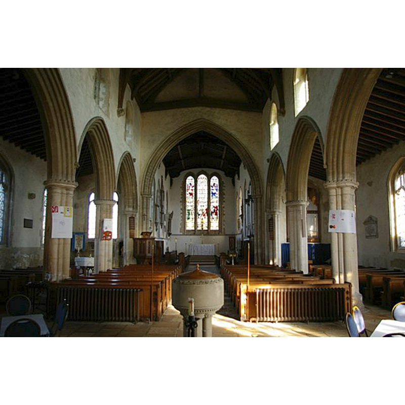
Scene Description: the modern font and cover in the foreground
Copyright Statement: Image copyright © James Yardley, 2011
Image Source: digital photograph taken 19 March 2011 by James Yardley [www.geograph.org.uk/photo/2315843] [accessed 23 April 2012]
Copyright Instructions: CC-BY-SA-3.0
INFORMATION
Font ID: 18006SOM
Object Type: Baptismal Font1
Font Century and Period/Style: 13th century, Medieval
Church / Chapel Name: Parish Church of St. John the Baptist
Font Location in Church: [cf. FontNotes]
Church Patron Saint(s): St. John the Baptist
Church Address: Church Street, Somersham, Cambridgeshire, PE28 3EG
Site Location: Cambridgeshire, East, England, United Kingdom
Directions to Site: Located 8 km NE of St. Ives, 15 km NE of Huntingdon
Ecclesiastic Region: Diocese of Ely
Historical Region: formerly in Huntingdonshire -- Hundred of Hurstingstone
Additional Comments: disappeared font? (was it still in the church ca. 1851? [cf. Parker (1851) in FontNotes])
Font Notes:
Click to view
Parker (1851) reports a a font with "a plain round bowl" in this church. This font was probably the earlier replaced by modern one donated to the church by Dr. Ollivant [cf. infra]. Kelly's 1903 Directory of Huntingdonshire reports a modern font in this church: "the font was given by Dr. [Alfred] Ollivant, Bishop of Llandaff (1849-83), and formerly rector here". The Victoria County History (Huntingdon, vol. 2, 1932) notes: "No church was mentioned in Somersham in the Domesday Survey, but doubtless a church existed on the land of Ely Abbey. [...] The present church was gradually built from east to west during the latter half of the 13th century and the first few years of the 14th century. [...] The stone font is modern." [NB: we have no information on the medieval font of this church].
COORDINATES
UTM: 30U 703948 5807681
Latitude & Longitude (Decimal): 52.381355, -0.00331
Latitude & Longitude (DMS): 52° 22′ 52.88″ N, 0° 0′ 11.92″ W
MEDIUM AND MEASUREMENTS
Material: stone
Font Shape: round
Basin Exterior Shape: round
REFERENCES
- Victoria County History [online], University of London, 1993-. URL: https://www.british-history.ac.uk.
- Kelly, Kelly's Directory of Huntingdonshire, London: Kelly's Directories Ltd., 1903, p. 58-59
- Parker, John Henry, The Ecclesiastical and architectural topography of England: Huntingdonshire, London: Archaeological Institute of Great Britain and Ireland, 1851, [cited in www.somersham.info/items/show/162 [accdessed 23 April 2012]]