Greenwich / East Greenwich / Greenwiche / Grenewic
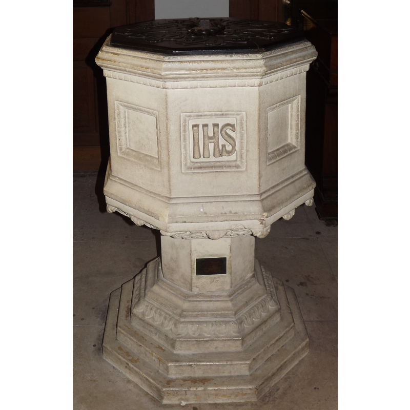
Image copyright © Colin Smith, 2012
Image and permission received (e-mail of 11 January 2012)
Results: 3 records
view of font and cover
Scene Description: the modern font [cf. FontNotes]
Copyright Statement: Image copyright © Colin Smith, 2012
Image Source: digital photograph taken 4 January 2012 by Colin Smith
Copyright Instructions: Image and permission received (e-mail of 11 January 2012)
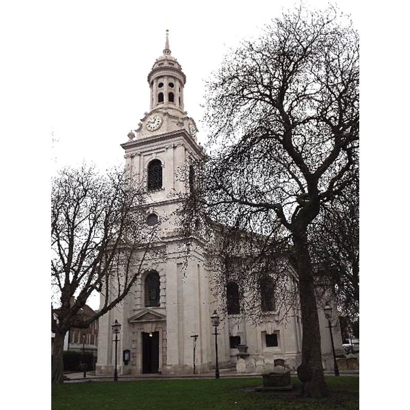
view of church exterior - west view
Copyright Statement: Image copyright © Colin Smith, 2012
Image Source: digital photograph taken 4 January 2012 by Colin Smith
Copyright Instructions: Image and permission received (e-mail of 11 January 2012)
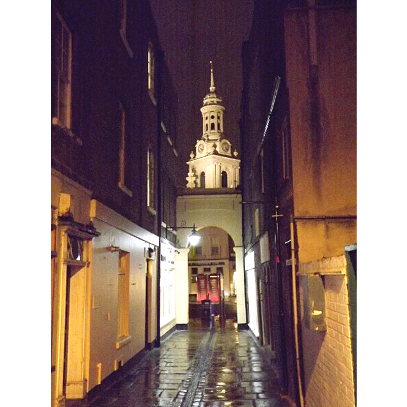
view of church exterior in context
Copyright Statement: Image copyright © Colin Smith, 2012
Image Source: digital photograph taken 4 January 2012 by Colin Smith
Copyright Instructions: Image and permission received (e-mail of 11 January 2012)
INFORMATION
Font ID: 17986GRE
Object Type: Baptismal Font1
Font Date: ca. 1290?
Font Century and Period/Style: 13th century (late?), Medieval
Church / Chapel Name: Parish Church of St. Alphege [aka St. Alfege's]
Font Location in Church: [destroyed in 1710?]
Church Patron Saint(s): St. Alphege [aka Ælfheah, Ælfhēah, Alfege, Elfege. Godwine]
Site Location: Greater London, South East, England, United Kingdom
Directions to Site: Located 6 km from London
Ecclesiastic Region: Diocese of Southwark
Additional Comments: famous person font: Henry VIII, born in Greenwich Palace, was baptised in the destroyed font in 1491
Font Notes:
Click to view
The Parish web site informs: "about 1150, Pope Eugenius III took St Alfege's site of martyrdom under his personal protection. Records have not survived to show how soon the first permanent structure was put up on the site, but it is certain that a church (regarded all over Europe as of prime importance) stood here ever since, enlarged and beautified as circumstances allowed. Early in the 13th century, a second church was built and lasted some 500 years until the storm of 28 November 1710. [...] At about 4.00am on 29 November 1710, as a result of a severe storm, the roof of the church collapsed, one of the supporting piers having been weakened by the numerous excavations undertaken for burial purposes; the tower, however, remained undamaged. [...] The [re-building was done] between 1712 and 1714 but consecration was delayed until 29 September 1718." The present font is modern, perhaps of the time of the re-building, and consists of a moulded octagonal basin with cartouches on the sides (one contains the IHS monogram) and a decorated underbowl chamfer; raised on a plain octagonal stem and a splying graded lower base, octagonal as well. The wooden cover is octagonal and flat, with metal decoration and ring handle; modern. [NB: we have no information on the destroyed font].
Credit and Acknowledgements: We are grateful to Colin Smith for his photographs of church and font
COORDINATES
UTM: 30U 707635 5707498
Latitude & Longitude (Decimal): 51.480472, -0.009667
Latitude & Longitude (DMS): 51° 28′ 49.7″ N, 0° 0′ 34.8″ W