Frittenden
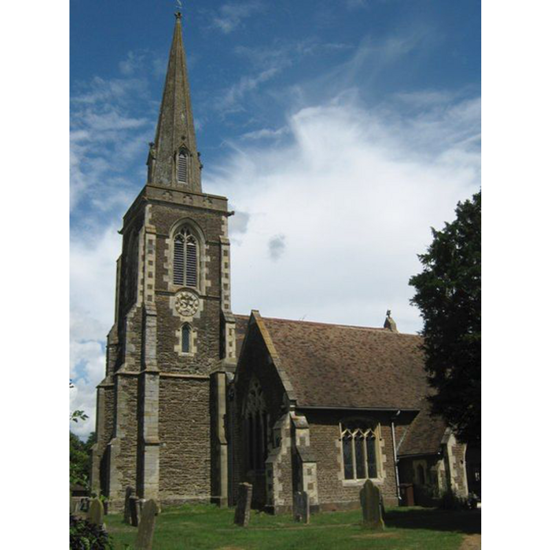
Image copyright © David Anstiss, 2009
CC-BY-SA-3.0
Results: 2 records
view of church exterior - southwest end
Copyright Statement: Image copyright © David Anstiss, 2009
Image Source: digital photograph taken 5 July 2009 by David Anstiss [www.geograph.org.uk/photo/1390871] [accessed 28 February 2012]
Copyright Instructions: CC-BY-SA-3.0
view of font and cover in context

Scene Description: the modern font and cover in the context of the west end of the nave
Copyright Statement: Image copyright © Frittenden Parish, 2012
Image Source: digital photograph in the Parish site [http://frittenden.deaneryintheweald.org.uk/] [accessed 28 February 2012]
Copyright Instructions: PERMISSION [requested] NOT AVAILABLE -- IMAGE NOT FOR PUBLIC USE
INFORMATION
Font ID: 17940FRI
Object Type: Baptismal Font1
Church / Chapel Name: Parish Church of St. Mary
Font Location in Church: [cf. FontNotes]
Church Patron Saint(s): St. Mary the Virgin
Church Address: The Street, Frittenden, Kent, TN172DD
Site Location: Kent, South East, England, United Kingdom
Directions to Site: Located 5 km S of Headcom, 24 km E of Tunbridge Wells
Ecclesiastic Region: Diocese of Canterbury
Additional Comments: disappeared or disused font? (is the old font -or the cover- still kept in the sacristy?) -- emaild Deborah Jenkins, PC clerk req'g info + pics 17March2012//mt
Font Notes:
Click to view
The Ecclesiologist (vol. 67, 1848: 200) reports the re-building of the church here at the time, and the introduction of a new font in the tower "with a lofty canopy", and adds: "We regret that the old one [font? cover?] of fair Third-Pointed work should not have been repaired and retained. It now stands in the sacristy filled with rubbish." The Frittenden Parish Council notes: "The church [...] is first recorded in the White Book of St Augustine’s c1200". [NB: we have no other information on the whereabouts of the medieval font here].
COORDINATES
UTM: 31U 331399 5667988
Latitude & Longitude (Decimal): 51.13849, 0.589908
Latitude & Longitude (DMS): 51° 8′ 18.56″ N, 0° 35′ 23.67″ E
LID INFORMATION
Date: 19th-century (mid?)
Material: wood, oak?
Apparatus: yes; metal crane
Notes: pyramidal; open-work of two tiers