Easton Royal / Easton nr. Marlborough
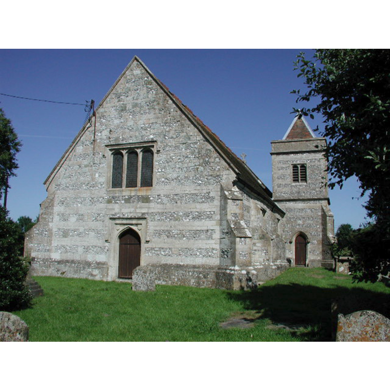
Image copyright © ChurchCrawler, 2003
CC-BY-SA-3.0
Results: 2 records
view of church exterior - northeast view
Copyright Statement: Image copyright © ChurchCrawler, 2003
Image Source: N/Adigital photograph taken 12 July 2003 ChurchCrawler [www.geograph.org.uk/photo/65227] [accessed 23 February 2012]
Copyright Instructions: CC-BY-SA-3.0
view of church exterior - southeast view
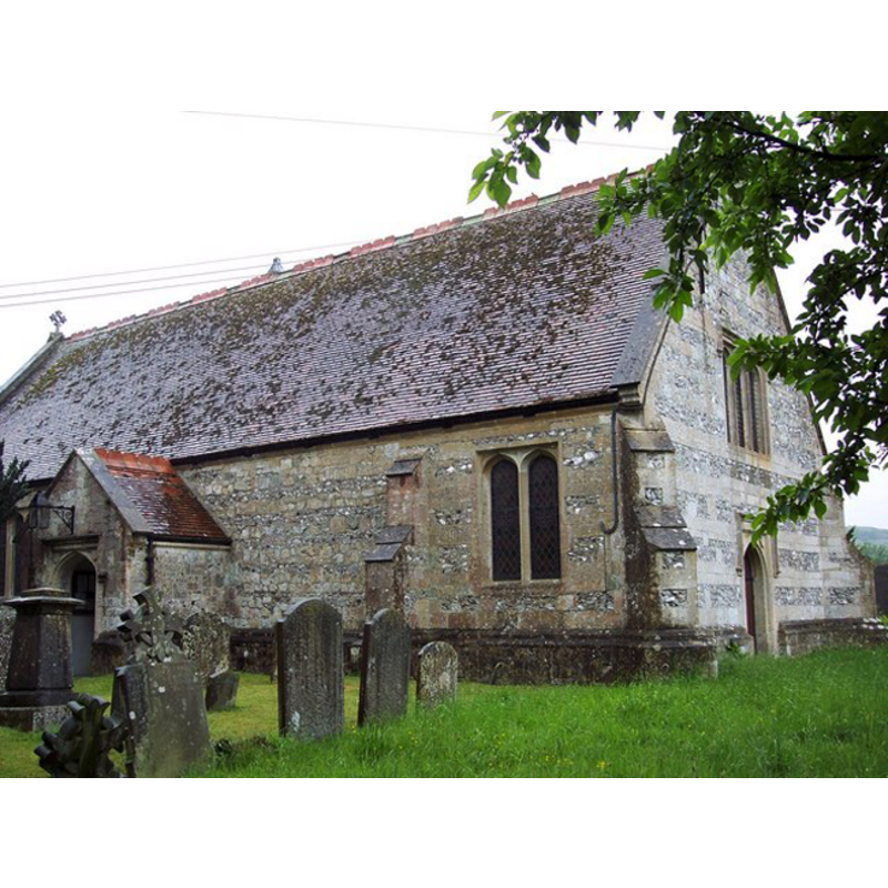
Copyright Statement: Image copyright © Trish Steel, 2007
Image Source: digital photograph taken 27 May 2007 by Trish Steel [www.geograph.org.uk/photo/446119] [accessed 23 February 2012]
Copyright Instructions: CC-BY-SA-3.0
INFORMATION
Font ID: 17935EAS
Object Type: Baptismal Font1
Font Date: 1591?
Font Century and Period/Style: 16th century, Elizabethan
Church / Chapel Name: Parish Church of the Holy Trinity [formerly St. Mary's]
Font Location in Church: Inside the church
Church Patron Saint(s): The Holy Trinity [dedicated to St. Mary in 1323]
Church Notes: "church, called St. Mary's in 1323," [cf. VCH entry in bib.]
Church Address: Easton Royal, Wiltshire, SN9 5LZ
Site Location: Wiltshire, South West, England, United Kingdom
Directions to Site: Located 5 km E of Pewsey, 7 km SSE of Marlborough
Ecclesiastic Region: Diocese of Salisbury
Historical Region: Hundred of Kinwardstone
Additional Comments: disappeared font? (from the 11th-century church?)
Font Notes:
Click to view
Noted in Pevsner & Cherry (1975): "Font.Octagonal, of goblet shape, plain, also, no doubt of c.1591". The Victoria County History (Wiltshire, vol. 16, 1999) notes: "In 1086 on the king's large estate called Wootton there were two churches belonging to the abbey of Mont St. Michel (Manche), one of which may have stood at Easton. [...] Later Easton church may have belonged to the abbey of la Trinité du Mont, Rouen (Seine-Maritime), until, between 1193 and 1198 [...] In 1369 it was demolished, permission was given for its materials to be used to enlarge the priory church, and the parishioners were licensed to use the priory church as the parish church. [...] The church was badly damaged or destroyed in the fire of 1493 (fn. 38) and apparently repaired or rebuilt. In 1536, 1553, and 1556 [...] the old priory church was demolished presumably about [1591] [...] dedication of the new church, called Holy Trinity in 1763, [...] The body of the church and the porch survive from 1591.[...] Registers from 1580 are extant and complete"; there is no mention of a font in the VCH entry for this parish.
COORDINATES
UTM: 30U 590243 5688669
Latitude & Longitude (Decimal): 51.342133, -1.704348
Latitude & Longitude (DMS): 51° 20′ 31.68″ N, 1° 42′ 15.65″ W
REFERENCES
- Victoria County History [online], University of London, 1993-. URL: https://www.british-history.ac.uk.
- Cox, John Charles, Nottinghamshire, London: Allen, 1912, p. 234