Chute Forest
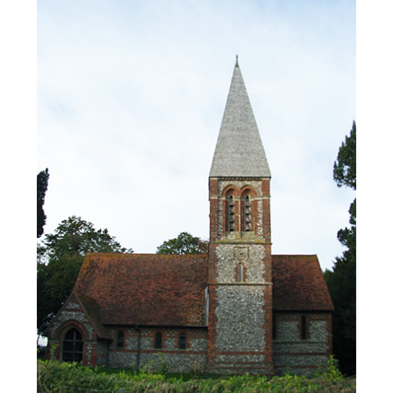
Image copyright © Andrew Smith, 2006
CC-BY-SA-3.0
Results: 1 records
view of church exterior
Scene Description: the 19th-century church
Copyright Statement: Image copyright © Andrew Smith, 2006
Image Source: digital photograph taken 5 November 2006 by Andrew Smith [www.geograph.org.uk/photo/287181] [accessed 23 February 2012]
Copyright Instructions: CC-BY-SA-3.0
INFORMATION
Font ID: 17934CHU
Object Type: Baptismal Font1
Font Date: ca. 1870?
Font Century and Period/Style: 19th century, Victorian
Church / Chapel Name: Parish Church of St. Mary [redundant]
Font Location in Church: Inside the church
Church Patron Saint(s): St. Mary the Virgin
Church Address: Limekiln Road, Chute Forest, Andover, Wiltshire, SP11 9DF
Site Location: Wiltshire, South West, England, United Kingdom
Directions to Site: Located 5 km NW of Andover, at the county border with Hants.
Ecclesiastic Region: Diocese of Salisbury
Historical Region: Hundred of Kinwardstone
Font Notes:
Click to view
The Victoria County History (Wiltshire, vol. 16, 1999) notes: "Chute Forest church was built in 1870-1. (fn. 33) In 1875 it was consecrated [...] the reredos, pulpit, and font are of stone [...] Chute Forest church was closed in 1972, and in 1974 it passed to the care of the Redundant Churches Fund, later the Churches Conservation Trust." The modern font consists of an octagonal basin raised on clustered columns. [NB: to our knowledge, there was no earlier church here].
COORDINATES
UTM: 30U 600577 5680498
Latitude & Longitude (Decimal): 51.266944, -1.558333
Latitude & Longitude (DMS): 51° 16′ 1″ N, 1° 33′ 30″ W
MEDIUM AND MEASUREMENTS
Material: stone
REFERENCES
- Victoria County History [online], University of London, 1993-. URL: https://www.british-history.ac.uk.