Erpingham / Erpincham / Erpyngham
Results: 2 records
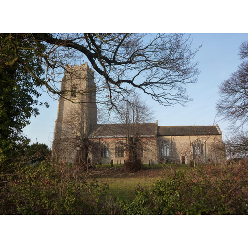
view of church exterior - south view
view of church interior - nave - looking northeast
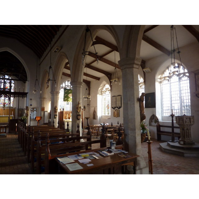
Scene Description: the font originally from Norwich St. Benedict's now seen in Erpingham St. Mary's
INFORMATION
Font ID: 17913ERP
Object Type: Baptismal Font1?
Font Century and Period/Style: 10th - 11th century, Pre-Conquest
Church / Chapel Name: Parish Church of St. Mary [aka The Assumption of the Blessed Virgin's]
Church Patron Saint(s): St. Mary the Virgin
Church Address: Erpingham, Norfolk NR11 6PL
Site Location: Norfolk, East Anglia, England, United Kingdom
Directions to Site: Erpingham is located off (W) the A140, 8 km N of Aylsham, 11 km S of Cromer
Ecclesiastic Region: Diocese of Norwich
Historical Region: Hundred of Erpingham
Additional Comments: disappeared font? (the 13thC one) -- moved font (the 15thC one)
Font Notes:
Click to view
Blomefield (1805-1810) quotes the Domesday entry for this parish reporting a church in it (fol. 197), and writes: "The church is dedicated to St. Mary, and is a rectory [...] There is a tall square tower, and four bells [...] The church and tower, were begun in Sir Thomas Erpingham's time [i.e., b. ca. 1355-1428 -- this would refer to the present church, not the original one][...] Edward the Confessor [r. 1044-1066] confirmed to the abbey of St. Bennet at Holm, the churches of Erpingham and Antingham [...] Rectors. 1244, Nicholas de la Turri" [i.e., first recorded rector here]. NB: the baptismal font now in this church is documented in this Index under Norwich No. 12. The first rector of Erpingham St. Mary's is listed in Blomefield (1769) as Nicholas de la Turri with starting date in 1244. [NB: we have no information on the font of the original pre-Conquest church here].
COORDINATES
UTM: 31U 382967 5855235
Latitude & Longitude (Decimal): 52.834147, 1.262688
Latitude & Longitude (DMS): 52° 50′ 2.93″ N, 1° 15′ 45.68″ E
REFERENCES
- Blomefield, Francis, An essay towards a history of Norfolk, Fersfield, Norwich and Lynn: [Printed in the author's own press], 1739-1755, vol. 3: 643
- Blomefield, Francis, An essay towards a topographical history of Norfolk, 1805-1810, vol. 6: 410-420 / [www.british-history.ac.uk/report.aspx?compid=78271] [accessed 29 May 2013]