Standlynch / Staninges / Staninses / Standlinch
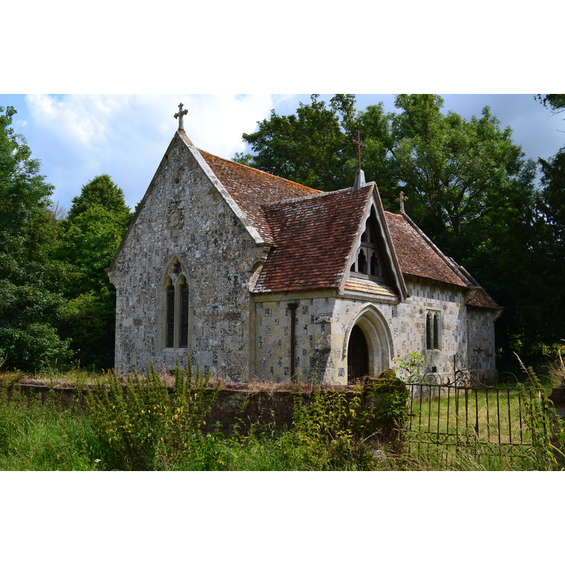
Image copyright © David Martin, 2019
CC-BY-SA-3.0
Results: 2 records
view of church exterior in context - southwest view
Scene Description: Source caption: "Disused chapel below Trafalgar Park"
Copyright Statement: Image copyright © David Martin, 2019
Image Source: digital photograph 8 July 2019 by David Martin [www.geograph.org.uk/photo/6205598] [accessed 24 August 2021]
Copyright Instructions: CC-BY-SA-3.0
view of church exterior - south view
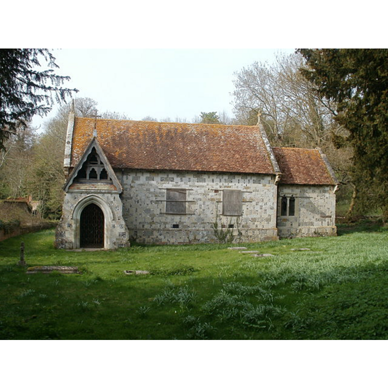
Scene Description: reported locked and boarded up in April 2010
Copyright Statement: Image copyright © Mike Faherty, 2010
Image Source: digital photograph taken 24 April 2010 by Mike Faherty [www.geograph.org.uk/photo/1824046] [accessed 26 January 2012]
Copyright Instructions: CC-BY-SA-3.0
INFORMATION
Font ID: 17881STA
Object Type: Baptismal Font1?
Church / Chapel Name: Chapel of Mary Queen of Angels and St. Michal and All the Angels
Church Patron Saint(s): St. Mary the Virgin & St Michael & All the Angels
Church Notes: church reported locked and boarded up in April 2010 [www.geograph.org.uk/photo/1824046] [accessed 26 January 2012]
Church Address: Standlynch Chapel, Downton, Salisbury SP5 3QQ, UK
Site Location: Wiltshire, South West, England, United Kingdom
Directions to Site: Located off (E) the A338, 3 km NNE of Downton, 8 SE of Salisbury
Ecclesiastic Region: Diocese of Salisbury
Historical Region: Hundred of Downton
Additional Comments: disappeared font?
Font Notes:
Click to view
There is are three entries for Standlynch [variant spellings] in the Domesday survey [https://opendomesday.org/place/SU1924/standlynch/] [accessed 24 August 2021] none of which mentions priest or church in it. "In 1147 a provision, intended to be permanent, was made for the service of a church at Standlynch, presumably then newly founded. [...] Rights of baptism and burial were [...] granted but the church remained a daughter church of Downton. [...] In 1147 its dedication was to St. Mary, [...] but later, probably in 1914, it became the church of Mary Queen of Angels and St. Michael and All the Angels [...] In the period 1859–66 it was again rebuilt"; there is no mention of a font in the VCH entry. The entry for this chapel in Historic England [Listing NGR: SU1826623511] notes: "Private chapel, now redundant. Medieval church rebuilt 1677, restored 1859-66 by William Butterfield [...] Medieval church on this site, probably built for the now demolished Standlynch House which was replaced by Trafalgar House (q.v.) in 1733. The Bockland family of the earlier house rebuilt the chapel in 1677. It became the Nelson family's private chapel after they were given Standlynch House, renamed Trafalgar House; the family were responsible for the restoration of C19" [no font mentioned]. [NB: we have no information on the medieval font here]. The Wiltshire Council entry for this chapel [https://history.wiltshire.gov.uk/community/getchurch.php?id=689] [accessed 24 August 2021] notes: "The church probably received its present dedication in 1914 [...] and has been closed since 1947."
COORDINATES
UTM: 30U 588329 5651763
Latitude & Longitude (Decimal): 51.01064, -1.7409
Latitude & Longitude (DMS): 51° 0' 38.3" N, 1° 44' 27.2" W
REFERENCES
- Victoria County History [online], University of London, 1993-. URL: https://www.british-history.ac.uk.