Streatley / Estralei / Stradleia / Stradleigh / Straightley / Stratle / Stratteleya / Streatley-on-Thames / Stretelee / Stretely / Stretle / Stretlegh / Stretley / Strettley
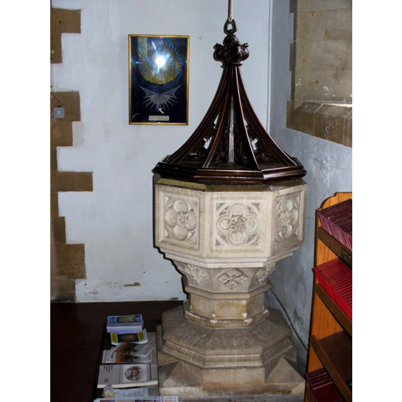
Image copyright © Colin Smith, 2008
Standing permission
Results: 2 records
view of font and cover
Scene Description: the modern font
Copyright Statement: Image copyright © Colin Smith, 2008
Image Source: digital photograph taken 8 August 2008 by Colin Smith [http://www.geograph.org.uk/photo/915019] [accessed 9 December 2011]
Copyright Instructions: Standing permission
view of church exterior - southeast view
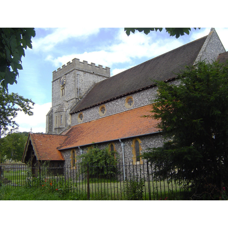
Copyright Statement: Image copyright © Motmit, 2008
Image Source: digital photograph taken 21 July 2008 by Motmit [http://en.wikipedia.org/wiki/File:Streatley01.JPG] [accessed 9 December 2011]
Copyright Instructions: CC-BY-SA-3.0
INFORMATION
Font ID: 17797STR
Object Type: Baptismal Font1?
Font Century and Period/Style: 11th century, Pre-Conquest? / Norman
Church / Chapel Name: Parish Church of St. Mary
Church Patron Saint(s): St. Mary the Virgin
Church Address: Church Lane, High Street, Streatley, Berkshire, RG8 9HU
Site Location: Berkshire, South East, England, United Kingdom
Directions to Site: Located on the B4009, 13 km NW of Reading, 26 km from Oxford
Ecclesiastic Region: Diocese of Oxford
Historical Region: Hundred of Moreton
Additional Comments: disappeared font? (the one from the Domesday-time church here)
Font Notes:
Click to view
There is an entry for this Streatley [variant spelling] in the Domesday survey [http://opendomesday.org/place/SU5980/streatley/] [accessed 4 May 2015]; ir mentions a church with one hide of church lands in it. The Victoria County History (Berkshire, vol. 3, 1923) notes: "A church existed in 1086, when Wibert the priest held it of Geoffrey de Mandeville [...] The original building was chiefly of the 13th century, [...] was rebuilt, with the exception of the 15th-century tower, in 1865"; the baptismal registers begin in 1679 but the VCH does not mention a font. The present font, octagonal and in the Perpendicular style, dates probably from the 1865 renovation of this church. [NB: we have no information on the medieval font of this church].
Credit and Acknowledgements: We are grateful to Colin Smith for his photograph of the modern font
COORDINATES
UTM: 30U 628684 5709698
Latitude & Longitude (Decimal): 51.523719, -1.145072
Latitude & Longitude (DMS): 51° 31′ 25.39″ N, 1° 8′ 42.26″ W
REFERENCES
- Victoria County History [online], University of London, 1993-. URL: https://www.british-history.ac.uk.