South Moreton / Moretune / Mortune / South Moorton / South Morton / Sudmorton
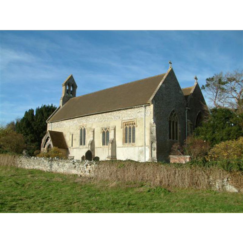
Image copyright © Colin Bates, 2005
CC-BY-SA-3.0
Results: 2 records
view of church exterior - southeast view
Copyright Statement: Image copyright © Colin Bates, 2005
Image Source: digital photograph taken 14 November 2005 by Colin Bates [http://www.geograph.org.uk/photo/78675] [accessed 9 December 2011]
Copyright Instructions: CC-BY-SA-3.0
view of font and context

Scene Description: the modern font and cover
Copyright Statement: Image copyright © South Moreton Parish, 2011
Image Source: digital photograph in the Parish web site [www.south-moreton.co.uk/html/our_church.html] [accessed 9 December 2011]
Copyright Instructions: PERMISSION NOT AVAILABLE -- IMAGE NOT FOR PUBLIC USE
INFORMATION
Font ID: 17796MOR
Object Type: Baptismal Font1?
Font Century and Period/Style: 11th century, Pre-Conquest? / Norman
Church / Chapel Name: Parish Church of St. John the Baptist
Church Patron Saint(s): St. John the Baptist
Church Address: Church Lane, South Moreton, Oxfordshire, OX11 9AF
Site Location: Oxfordshire, South East, England, United Kingdom
Directions to Site: Located 5 km SW of Wallingford
Ecclesiastic Region: Oxford Diocese
Historical Region: formerly in Berkshire -- Hundred of Moreton
Additional Comments: disappeared font? (the one from the Domesday-time church?)
Font Notes:
Click to view
There are three entries for [North and South] Moreton [variant spelling] in the Domesday survey [http://opendomesday.org/place/XX0000/north-and-south-moreton/] [accessed 4 May 2015], two of which mention a church in each. The Victoria County History (Berkshire, vol. 3, 1923) notes: "The west wall and part of the south wall of the nave are probably of the 11th century, and formed part of a church consisting of a chancel and nave only"; the baptism registers begin in 1599; there is no mention of a font in the VCH entry. The Parish web site [www.south-moreton.co.uk/html/our_church.html] [accessed 9 December 2011] informs that the present font, located at the west end of the south aisle, "dates from the drastic restoration of 1849". [NB: we have no information on the font from the Domesday-time church here].
COORDINATES
UTM: 30U 624876 5716768
Latitude & Longitude (Decimal): 51.58811, -1.19742
Latitude & Longitude (DMS): 51° 35′ 17.2″ N, 1° 11′ 50.71″ W
REFERENCES
- Victoria County History [online], University of London, 1993-. URL: https://www.british-history.ac.uk.