Tilehurst / Tygelhurst / Tyghelhurst / Tylehurst
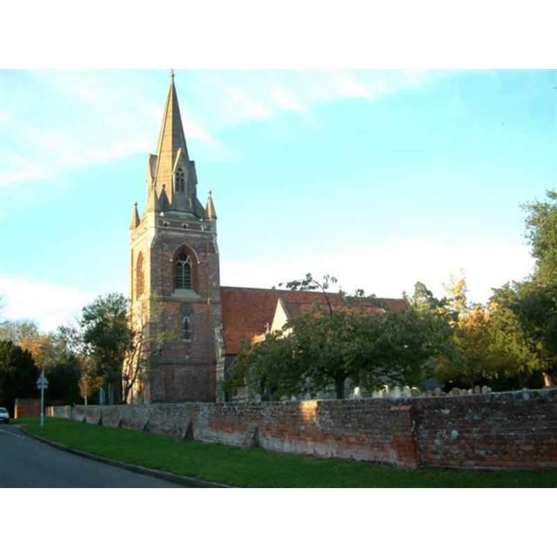
Image copyright © Colin Bates, 2005
CC-BY-SA-3.0
Results: 1 records
view of church exterior - south view - west end
Copyright Statement: Image copyright © Colin Bates, 2005
Image Source: digital photograph taken 1 November 2005 by Colin Bates [http://www.geograph.org.uk/photo/75918] [accessed 29 November 2011]
Copyright Instructions: CC-BY-SA-3.0
INFORMATION
Font ID: 17766TIL
Object Type: Baptismal Font1?
Font Century and Period/Style: 12th - 13th century, Medieval
Church / Chapel Name: Parish Church of St. Michael
Church Patron Saint(s): St. Michael
Church Address: New Lane Hill, Tilehurst, Berkshire, RG30 4JX
Site Location: Berkshire, South East, England, United Kingdom
Directions to Site: Located to the W of Reading
Ecclesiastic Region: Diocese of Oxford
Historical Region: Hundred of Reading
Additional Comments: disppeared font? (the one from the medieval church here)
Font Notes:
Click to view
No entry found for Tilehurst in the Domesday survey. The Victoria County History (Nerkshire, vol. 3, 1923) notes: "The church of Tilehurst was probably granted to the abbey of Reading at the same time as the manor, but the first evidence of the gift is a charter of Hubert Walter Bishop of Salisbury (1189–93), confirming various churches to the abbey. [...] The vicarage had been instituted before the date of the charter. [...] The only ancient portion of the present church is the south aisle, which apparently dates from the late 13th or early 14th century. [...] The tower is of the 18th century [...] The whole of the rest of the church was rebuilt, and a west door and windows were inserted in the tower in 1856, from the designs of G. E. Street." The Parish web site [www.stmichaeltilehurst.org.uk/detailed-history.html] [accessed 29 November 2011] notes: "The font (for holy water for baptism), the cupboard under the bell tower and the pulpit (replacing one with three tiers) are all Street's design"; it consists of an octagonal basin with carved sides, raised on a base of clustered colonnettes and an octagonal lower base. The font cover is octagonal, with graded sides; also modern.
COORDINATES
UTM: 30U 636775 5701917
Latitude & Longitude (Decimal): 51.45189, -1.03152
Latitude & Longitude (DMS): 51° 27′ 6.8″ N, 1° 1′ 53.47″ W
REFERENCES
- Victoria County History [online], University of London, 1993-. URL: https://www.british-history.ac.uk.