White Waltham / Waltham / Waltham Abbas / West Waltham / Whitwalton / Whyte Waltham / Wygt Waltham
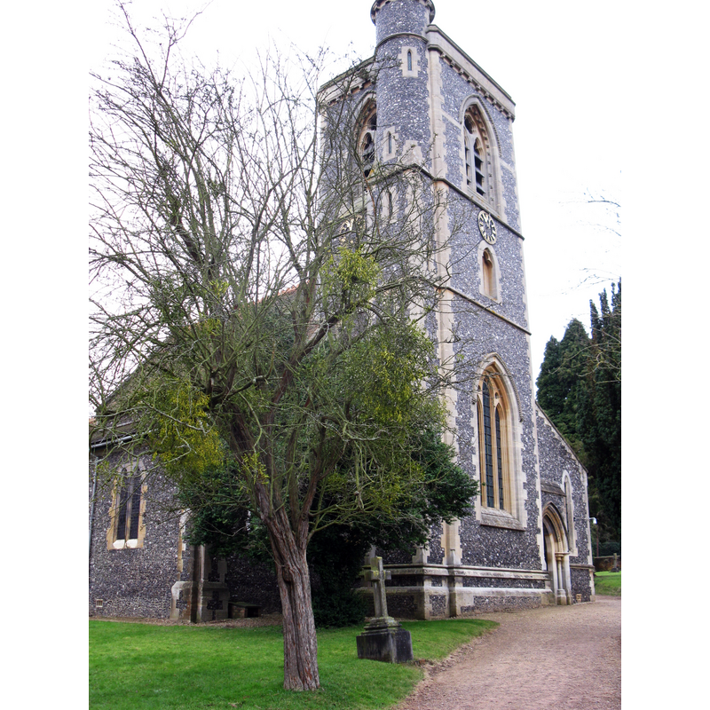
Image copyright © don cload, 2011
CC-BY-SA-2.0
Results: 1 records
view of church exterior - northwest end
Scene Description: EXT NW digital photograph taken 1 February 2011 by don cload [www.geograph.org.uk/photo/2253919] [accessed 23 March 2015]
Copyright Statement: Image copyright © don cload, 2011
Image Source: digital photograph taken 1 February 2011 by don cload [www.geograph.org.uk/photo/2253919] [accessed 23 March 2015]
Copyright Instructions: CC-BY-SA-2.0
INFORMATION
Font ID: 17752WHI
Object Type: Baptismal Font1?
Font Century and Period/Style: 11th century, Pre-Conquest? / Norman
Church / Chapel Name: Parish Church of St. Mary the Virgin
Church Patron Saint(s): St. Mary the Virgin
Church Address: Cannnon Lane/Church Hill, White Waltham, Berkshire, SL6 3JF
Site Location: Berkshire, South East, England, United Kingdom
Directions to Site: Located 3 km W of Maidenhead
Ecclesiastic Region: Diocese of Oxford
Historical Region: Hundred of Beynhurst
Additional Comments: disappeared font? (from the Domesday-time church here)
Font Notes:
Click to view
There are two entries for [White] Waltham [variant spelling] in the Domesday survey [http://domesdaymap.co.uk/place/SU8577/white-waltham/] [accessed 23 March 2015]; the one in the lordship of Chertsey St. Peter's abbey mentions a church in it. André (1883) writes: "At White Waltham, Berks., the font, when seen by me in 1851, was a simple white marble vessel, or deep bowl, not in any way resembling 'a vessel unto honour'; this precious production was perched on a wooden-hooped framework, like a hen-coop." The Victoria County History (Berkshire, vol. 3, 1923) notes: "At the date of the Survey there was a chapel in White Waltham which belonged to the abbey of Chertsey. [...] The history of the building has been largely obscured by the drastic restoration undertaken in 1868, when practically the whole of the church west of the chancel was rebuilt, but that there was a church here in the 12th century is shown by the Norman arch still standing on the south side of the tower, and the reset capitals to the shafts of the south doorway, which are also of this date." There is no mention of a font in the VCH entry. [NB: we have no information on the font from the Domesday-time church here].
COORDINATES
UTM: 30U 654877 5706721
Latitude & Longitude (Decimal): 51.4891, -0.7714
Latitude & Longitude (DMS): 51° 29′ 20.76″ N, 0° 46′ 17.04″ W
REFERENCES
- Victoria County History [online], University of London, 1993-. URL: https://www.british-history.ac.uk.
- André, J. Lewis, "Fonts and baptisms", 24, The Reliquary and Illustrated Archaeologist, 1883, pp. 209-216; p. 212