Bisham / Bestelsham / Bisham Montague / Bisleham / Bissame / Bisenham / Bistesham / Bistlesham / Brustelsham / Brystelsham / Bulesham / Buselham / Busseham / Bustesham Montacu / Bustesham Montagu / Bustlesham / Temple Bistlesham
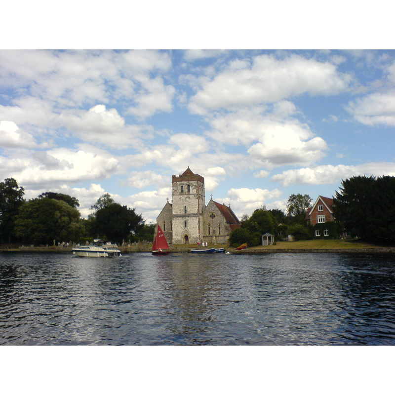
Image copyright © Strangerer, 2006
CC-BY-SA-3.0
Results: 2 records
view of church exterior - west view
Copyright Statement: Image copyright © Strangerer, 2006
Image Source: digital photograph taken 30 July 2006 by Strangerer [http://commons.wikimedia.org/wiki/File:BishamChurch.JPG] [accesed 25 November 2011]
Copyright Instructions: CC-BY-SA-3.0
view of church interior - nave - looking east
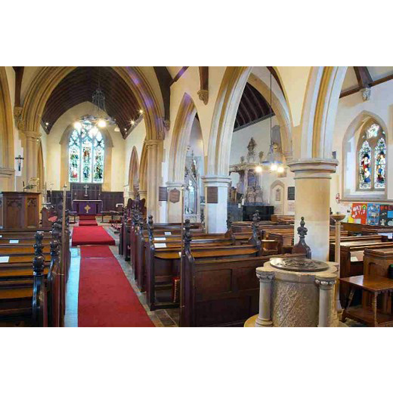
Scene Description: with the modern font in the foreground, right side
Copyright Statement: Image copyright © Nell Rose, 2013
Image Source: digital photograph posted in 2013 by Nell Rose [http://s1.hubimg.com/u/6611916_f520.jpg] [accessed 19 March 2015]
Copyright Instructions: No known copyright restriction – Fair Dealing
INFORMATION
Font ID: 17750BIS
Object Type: Baptismal Font1?
Font Century and Period/Style: 11th century, Pre-Conquest? / Norman
Church / Chapel Name: Parish Church of All Saints [aka Bisham Priory Church]
Church Patron Saint(s): All Saints
Church Notes: The church of St. James the Less is mid-19th century
Church Address: Bisham, Berkshire, SL7 1RW
Site Location: Berkshire, South East, England, United Kingdom
Directions to Site: Located 2 km from Marlow, 8 NW of Maidenhead
Ecclesiastic Region: Diocese of Oxford
Historical Region: Hundred of Beynhurst
Additional Comments: disappeared font? (the one from the Domesday-time church here) -- 'Bisham' is pronounced [biss-um] -- the modern font is illustrated in www.broadhurst-family.co.uk/My%20Churches/Churches/All%20Saints%20Bisham/index.html [accessed 25 November 2011] [no download]
Font Notes:
Click to view
There is an entry for Bisham [variant spelling] in the Domesday survey [http://domesdaymap.co.uk/place/SU8485/bisham/] [accessed 19 March 2015]; it reports a church in it. The Victoria County History (Berkshire, vol. 3, 1923) notes: "There was a church at Bisham at the date of the Domesday Survey. [...] The oldest part of the present building is the mid-12th-century tower, but it is probable that the plan of the nave and chancel is also of that date", and the first baptismal register dates from 1560. There is no font mentioned in the VCH entry for this church. The present font is a modern one, a confusing design that incorporates a tub-shaped basin with four incongruent constructional shafts with capitals and bases at 90-degree angles. [NB: we have no information on the medieval font here].
COORDINATES
UTM: 30U 654023 5714586
Latitude & Longitude (Decimal): 51.561293, -0.777946
Latitude & Longitude (DMS): 51° 33′ 40.66″ N, 0° 46′ 40.61″ W
REFERENCES
- Victoria County History [online], University of London, 1993-. URL: https://www.british-history.ac.uk.