Binfield / Benefeud / Benetfelde / Benifeld / Bentfield / Bynfylde
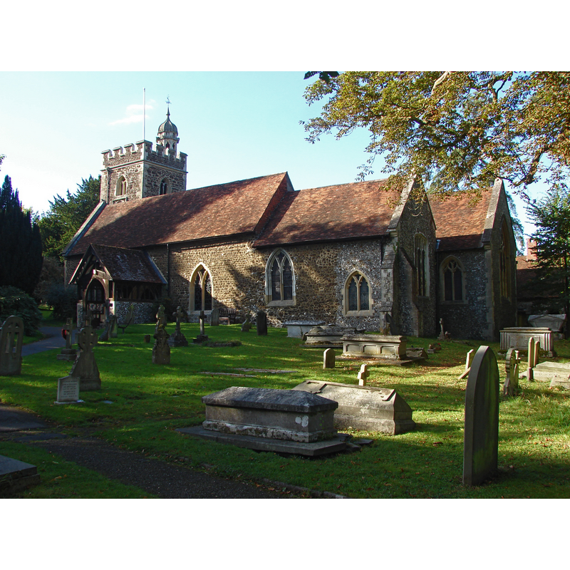
Image copyright © Alan Hunt, 2014
CC-BY-SA-2.0
Results: 1 records
view of church exterior - southeast view
Scene Description: Source caption: "Binfield parish church opposite the junction of Church Hill and Terrace Road North. Like many churches it is set a distance away from the village it serves."
Copyright Statement: Image copyright © Alan Hunt, 2014
Image Source: digital photograph taken 24 September 2014 by Alan Hunt [www.geograph.org.uk/photo/4185490] [accessed 19 March 2015]
Copyright Instructions: CC-BY-SA-2.0
INFORMATION
Font ID: 17746BIN
Object Type: Baptismal Font1
Font Century and Period/Style: 12th century (early?) [basin only], Medieval [composite]
Church / Chapel Name: Parish Church of All Saints
Font Location in Church: Inside the church
Church Patron Saint(s): All Saints
Church Notes: the church of St. Mark is modern
Church Address: Church Hill, Binfield, Berkshire, RG42 5NS
Site Location: Berkshire, South East, England, United Kingdom
Directions to Site: Located 7 km E of Wokingham, 13 SE of Reading
Ecclesiastic Region: Diocese of Oxford
Historical Region: Hundred of Cookham
Additional Comments: altered font: the base is modern
Font Notes:
Click to view
No entry found for this Binfield in the Domesday survey. A report on the Proceedings of Societies published in the Berks, Bucks & Oxon Archaeological Journal (vol. 17, no. 3, October 1911: 94) mentions a visit to the church at Binfield and the presence of an "old Norman font" there. The Victoria County History (Berkshire, vol. 3, 1923) notes: "The church of Binfield appears to have been one of the chapels of Cookham given by Henry I [1100-1135] to the abbey of Cirencester[...] Only the font remains to suggest the existence of a church here before the first half of the 15th century [...] The font is plain and has an old cylindrical bowl on a modern octagonal stem."
COORDINATES
UTM: 30U 653924 5701351
Latitude & Longitude (Decimal): 51.442405, -0.78515
Latitude & Longitude (DMS): 51° 26′ 32.66″ N, 0° 47′ 6.54″ W
MEDIUM AND MEASUREMENTS
Material: stone
Font Shape: cylindrical, mounted
Basin Interior Shape: round
Basin Exterior Shape: round
REFERENCES
- Victoria County History [online], University of London, 1993-. URL: https://www.british-history.ac.uk.