Pusey / Pesei / Peseia / Peise / Pesey / Petsia / Pewsey
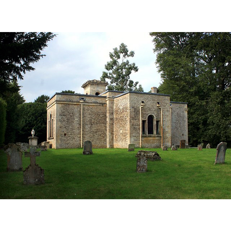
Image copyright © Des Blenkinsopp, 2014
CC-BY-SA-2.0
Results: 2 records
view of church exterior - east view
Copyright Statement: Image copyright © Des Blenkinsopp, 2014
Image Source: digital photograph taken 2 September 2014 by Des Blenkinsopp [www.geograph.org.uk/photo/4163090] [accessed 4 June 2015]
Copyright Instructions: CC-BY-SA-2.0
view of church exterior - northwest view
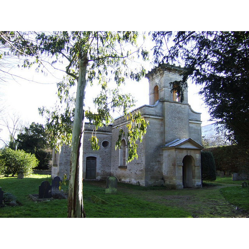
Scene Description: the present 18thC church building -- Source caption: "All Saints, Pusey. A fantastic example of a Georgian village church, built by the Pusey family in 1744."
Copyright Statement: Image copyright © Jonathan Billinger, 2007
Image Source: digital photograph taken 10 January 2007 by Jonathan Billinger [www.geograph.org.uk/photo/309746] [accessed 4 June 2015]
Copyright Instructions: CC-BY-SA-2.0
INFORMATION
Font ID: 17740PUS
Object Type: Baptismal Font1?
Font Century and Period/Style: 11th century, Medieval
Church / Chapel Name: Parish Church of All Saints
Church Patron Saint(s): All Saints
Church Address: Pusey, Oxfordshire, SN7 8QB
Site Location: Oxfordshire, South East, England, United Kingdom
Directions to Site: Located off (S) the A420, 6-7 km E of Faringdon
Ecclesiastic Region: Diocese of Oxford
Historical Region: formerly in Berkshire -- Hundred of Gabfield
Additional Comments: disappeared font? (the one in the 11thC church?)
Font Notes:
Click to view
There are two entries for Pusey [variant spelling] in the Domesday survey [http://opendomesday.org/place/SU3596/pusey/] [accessed 4 June 2015], one of which mentions a church in it. There are two entries in the Victoria County History (Berkshire, vol. 4, 1924) that make reference to Pusey's church. One is in the entry for Pusey itself, which notes: "There was a church on Roger de Ivrey's estate in Pusey at the time of the Domesday Survey. [...] The [present] church of All Saints is an 18th-century building [...] It does not stand on the site of the old building, which stood near Pusey House, and it is said to have been rebuilt in 1745. [...] The wooden font, in which Dr. Pusey was baptized, has been removed from this church, and is now at Grove, in Wantage parish." The second reference is in the VCH entry for Wantage and Grove, its hamlet (ibid.), also with a reference to the later wooden font move to Grove. [NB: we have no information on the original font of the old church at Pusey].
COORDINATES
UTM: 30U 605119 5725049
Latitude & Longitude (Decimal): 51.666576, -1.480008
Latitude & Longitude (DMS): 51° 39′ 59.68″ N, 1° 28′ 48.03″ W
REFERENCES
- Victoria County History [online], University of London, 1993-. URL: https://www.british-history.ac.uk.
- Victoria County History [online], University of London, 1993-. URL: https://www.british-history.ac.uk.